The bartender slid a coaster in front of me and set a pint of Pool Service IPA neatly on top of it. "What brings you to Monterey Bay?" he asked.
As soon as I mentioned hiking, the recommendations poured in faster than the IPA.
I had already hit every big-ticket hike and viewpoint along the Big Sur Coastal Highway, including Ragged Point Bluff, Partington Cove, Salmon Creek Falls Trail, Sand Dollar Beach, McWay Falls, Ewoldsen, Andrew Molera Bluffs and Ridge, Pfeiffer Falls, Valley View Loop, Buzzards Roost, and the Bixby Bridge.
So as the bartender listed off hikes, there was a lot of head nodding on my end.
But there was one hike, he emphasized, I absolutely had to do. "Soberanes," he said, "that's the one. It's a seven-mile loop."
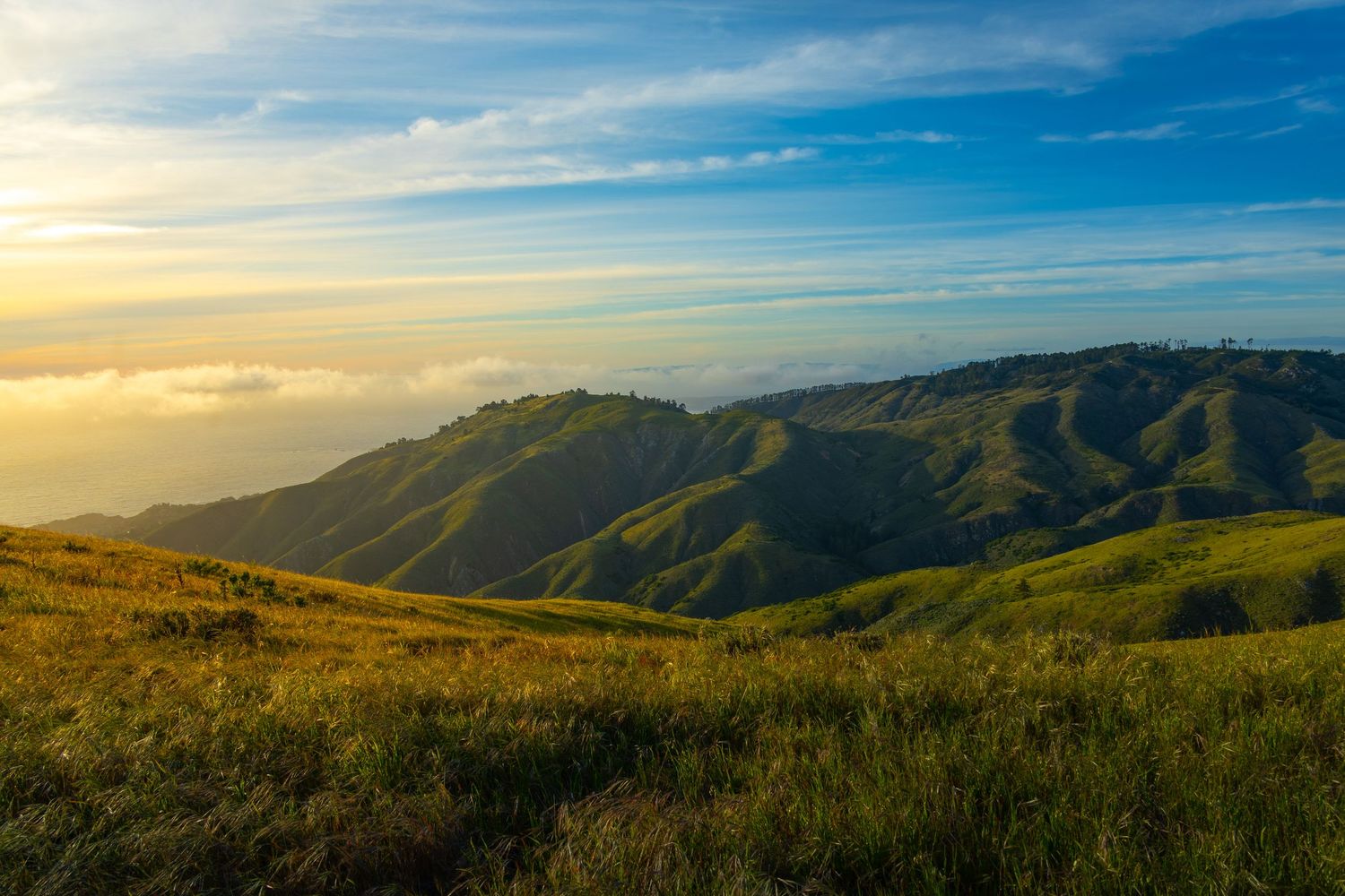
Soberanes
I hadn't heard of it. I looked Soberanes up on AllTrails, which showed a 2.9-mile out-and-back.
"Yep," he said, "part of it is closed, but we all do the whole loop anyway."
I zoomed in on the map, and sure enough, there was a loop. AllTrails just hadn't included it. Huh. The next day, I dove in.
In this article I'll tell you about my favorite hike, and my least favorite hike, in Big Sur. They are the same hike: Soberanes at Garrapata State Park.
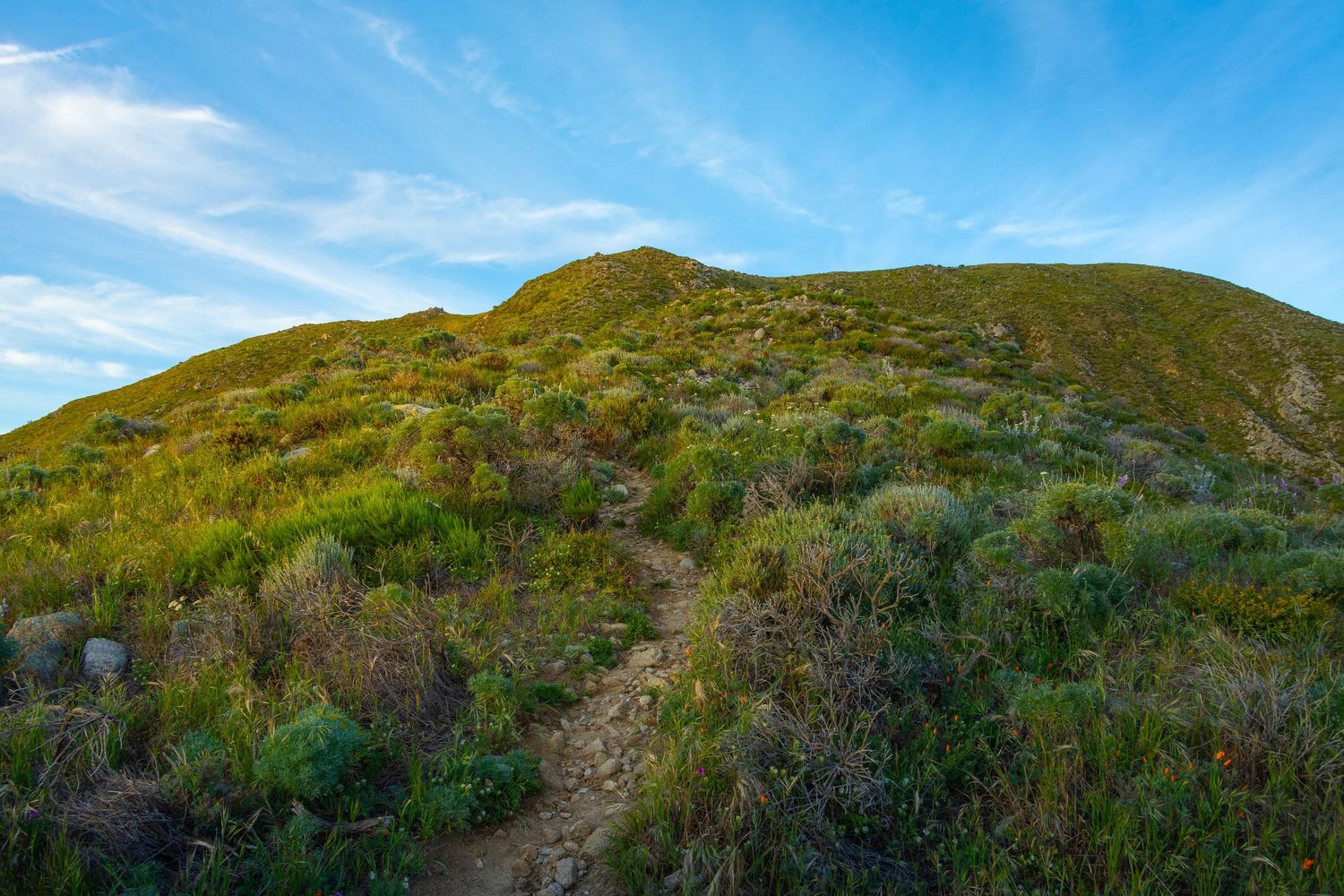
Officially Closed (For Over a Decade)
The Soberanes Canyon and Rocky Ridge Loop sits inside Garrapata State Park, a narrow strip of coastal wilderness straddling Highway 1 just south of Carmel. The park has no entry fee, no visitor center, and almost no rangers. It runs for six miles along one of the most dramatic stretches of California coastline and operates largely on the honor system.
The full loop trail has been officially closed since at least 2014. The closure came after years of heavy use combined with the trail's poor design left key sections — particularly the steep canyon approach and a crumbling staircase in upper Soberanes Canyon — badly eroded and deemed hazardous by California State Parks. Signs went up. The closure was declared indefinite.
Nobody paid attention. With the park effectively unpatrolled, hikers simply continued doing what they had always done. The closed loop became, paradoxically, one of the most heavily used trails in Central California. A local publication noted that on Memorial Day weekend, a nearly continuous stream of hikers was passing over the officially closed section. The state was aware. Enforcement never came.
AllTrails, the app that has become nearly eponymous with trail-finding, confuses the issue further. Rather than acknowledge the loop that everyone is actually hiking, AllTrails maps only the approved out-and-back route: a 2.9 mile walk up the canyon and back. My blunt opinion: it is the least interesting part of the hike. Yet the trail carries strong reviews and high ratings, a paradox that only resolves when you understand that virtually every reviewer ignored the AllTrails route entirely and completed the full loop. The app is rating a hike that few hikers are taking, based on reviews from people who took a different one.
Think of the Soberanes loop in four legs (south, east, north, west) progressing counter-clockwise from the roadside parking at the trailhead.
- South: Soberanes Canyon Trail
- East: Rocky Ridge Trail Back Side
- North: Rocky Ridge Summit
- West: Rocky Ridge Summit Front Side
As of Oct 2014, the "Rocky Ridge Trail Back Side" was the only closed section. This was explicit and clear in the sign the state posted at the time. As of May 2026, the state park website seems to indicate the entire "Rocky Ridge Trail" is closed, leaving the South Section — the stretch AllTrails shows — as the remaining trail.
South | Soberanes Canyon Trail
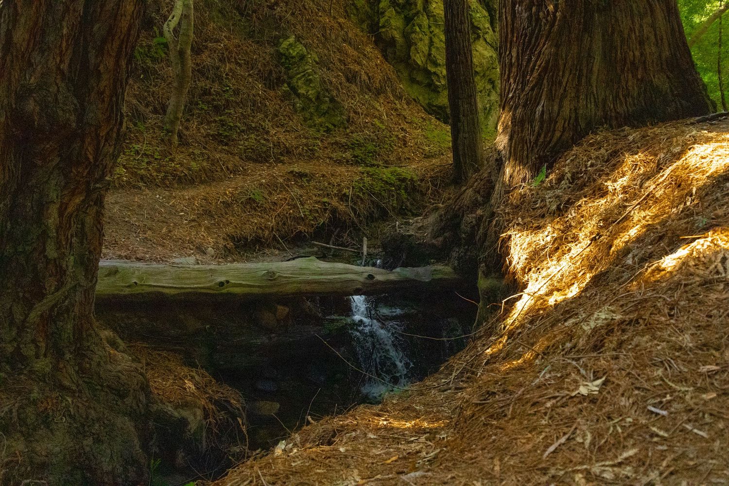
The southern leg is the 1.5 mile stretch you'll find on AllTrails. I arrived with some excitement, having seen this hike on multiple Top 10 lists since my conversation with the bartender. I had a bit of trepidation too, based on reviews warning of ticks and poison oak lining the trail. There was immediately some overgrowth creeping in from both sides, but I'd worn long pants and a hat. I soldiered on.
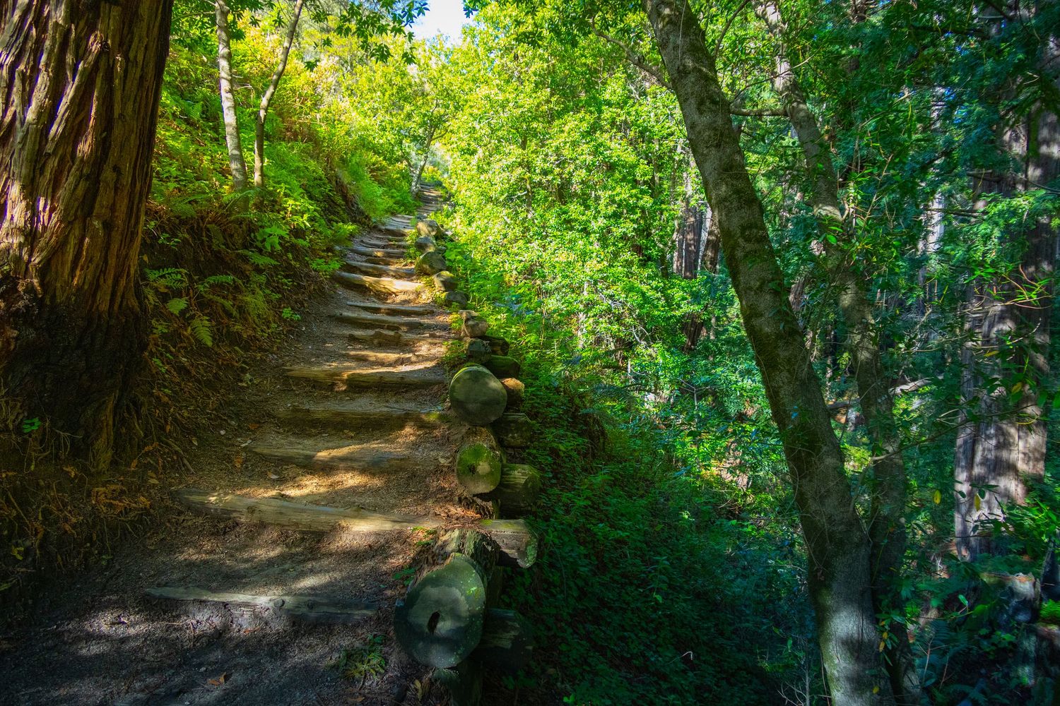
This first stretch has modest elevation gain, about 500 feet total. It winds through a redwood grove, crosses streams without requiring any immersion, and has some manufactured sections with stairs and wooden features. Sounds pretty good, right?
And that's what it was. Pretty good. Ok. Fine. For that first 1.5 miles, I couldn't figure out what all the fuss was about.
Then the AllTrails route ended abruptly at a spot that didn't feel like a destination.
If you were to turn around there, you'd immediately climb back up a hill you'd just come down for no apparent reason. Or, you could continue on the loop.
There's no sign in this area explicitly telling you not to.
What is there, however, is the next hill. And it is very steep, eroded, slippery, and barely looks like a trail. I did it anyway. At the top, I couldn't decide if I already regretted it.
East | Rocky Ridge Trail Backside
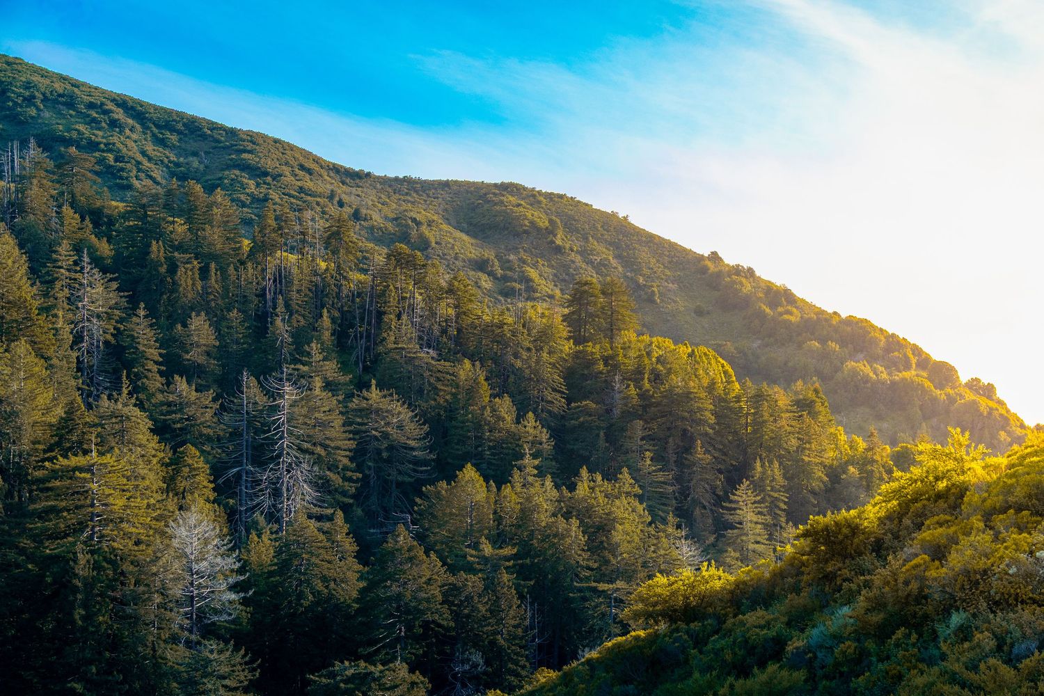
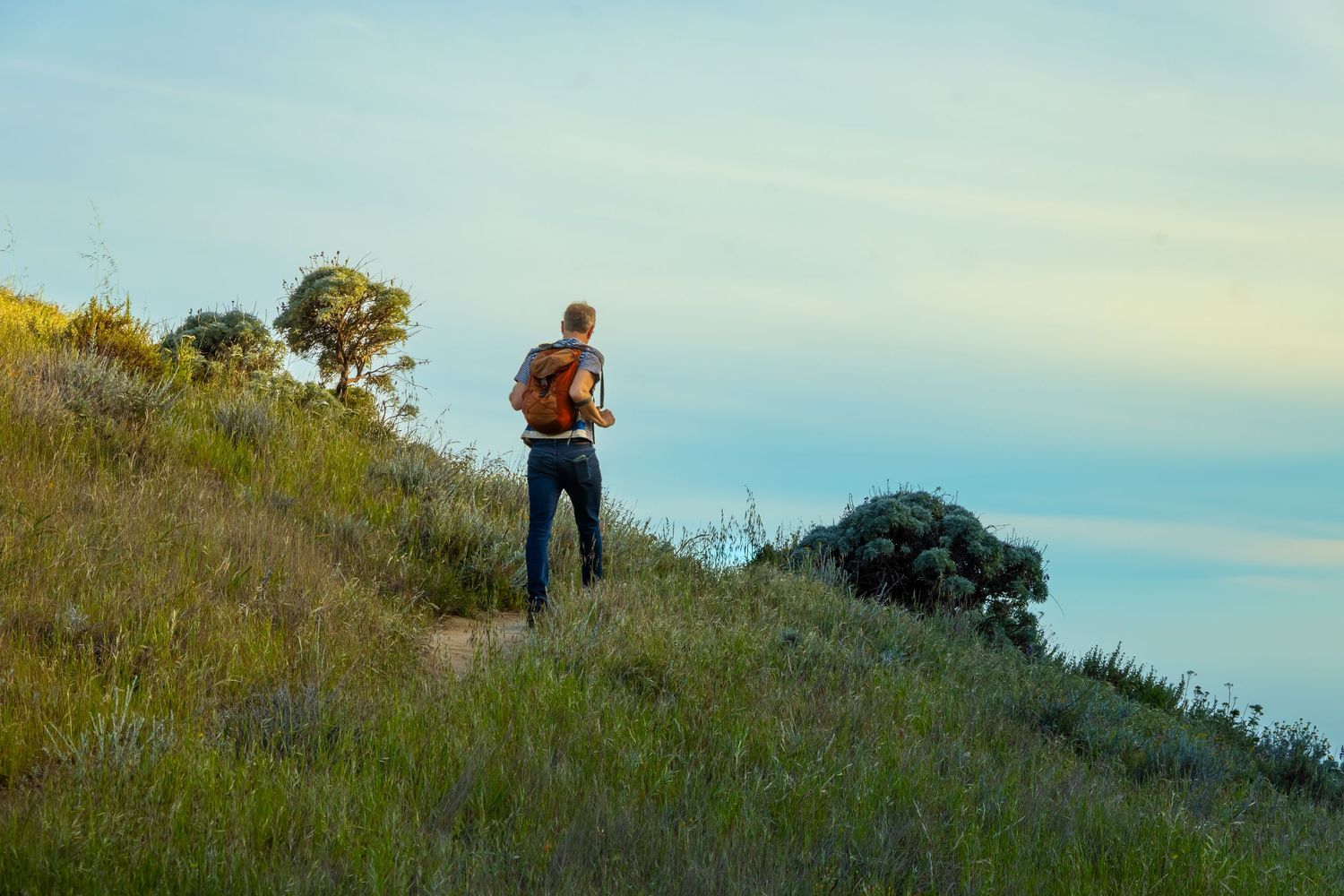
The eastern leg is one mile of constant uphill slogging. The trail is defined by a wide, eroded crevice, and my feet bridged the gap with every step. Loose dirt and gravel made each footfall a test-then-commit process. Every tenth of a mile, I resolved to turn back. And then decided to see what was just up ahead first.
I'd had it with the bartender. With the Top 10 lists. With the enthusiastic locals who had looked me dead in the eye and described this trail with reverence. I looked for a camera crew hiding in the layers of poison oak—was I being punked?
Then, just as I was finishing the east section, I came across a hiker heading the opposite direction. I warned him about the slog ahead.
He said, "I've hiked this trail hundreds of times."
I choked down the question I wanted to ask. He continued: "You've done the hard part now — although the descent is even steeper and just as eroded."
Good grief.
"Enjoy the sunset," he added. "It will be great on your side of the loop."
I kept going. By this point I could see the summit ahead, and the layers of topography were getting prettier with every step. I could also tell I'd gotten the timing right. Golden hour would hit just as I crested into the north section.
North | Rocky Ridge Trail Summit
The north section is what every five-star review, every Top 10 list, and every enthusiastic bartender recommendation is about.
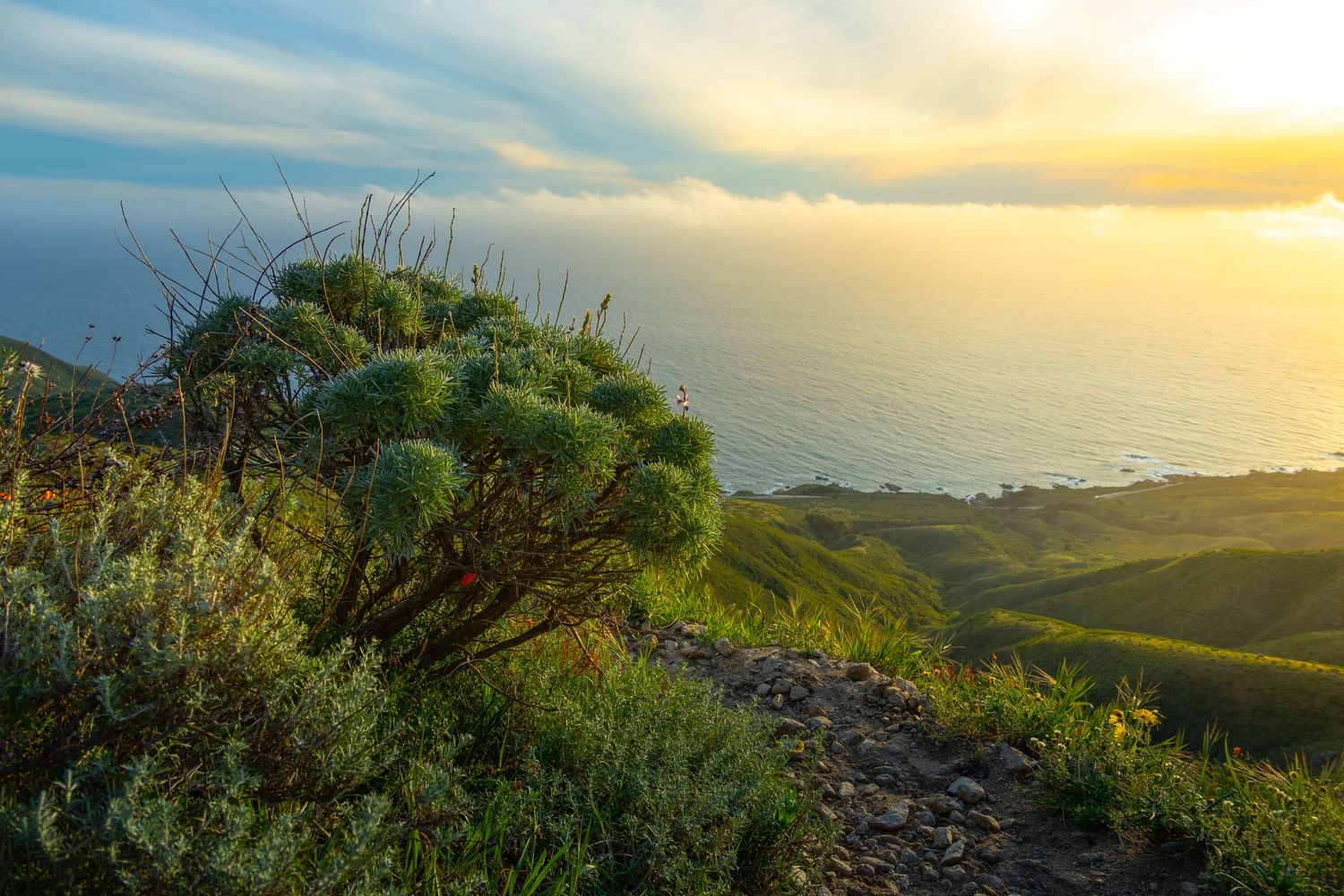
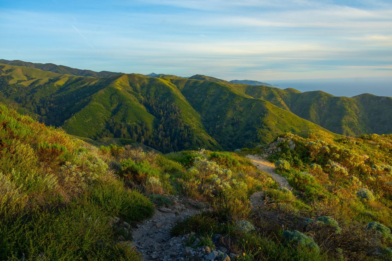
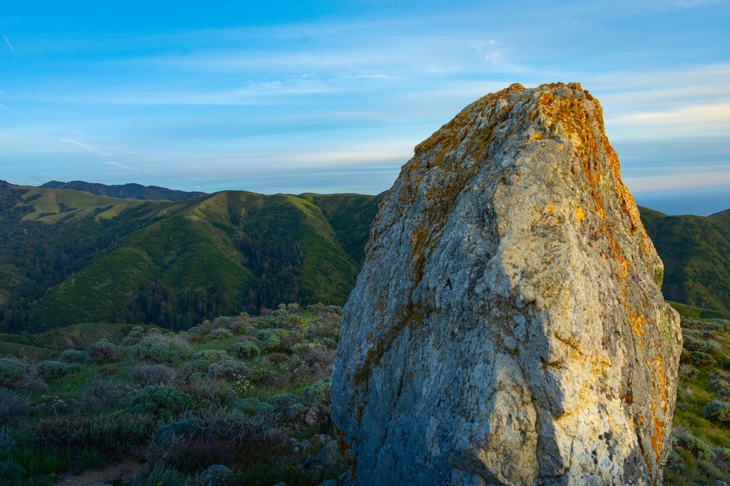
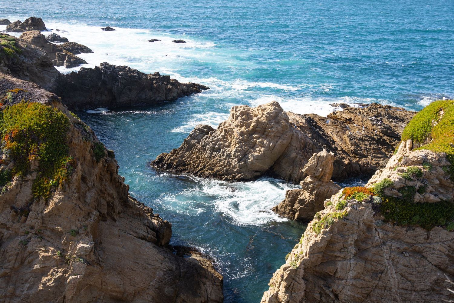
The earth turned firm beneath my feet. The redwood grove far below caught the last direct light of the day, glowing amber in the canyon. Rolling hills traded slices of sunlight back and forth across the ridge. Exposed wedges of rock jutted out like natural viewing platforms over the Pacific Ocean. And the ocean generously expelled the kind of poofy clouds that make sunset magic happen.
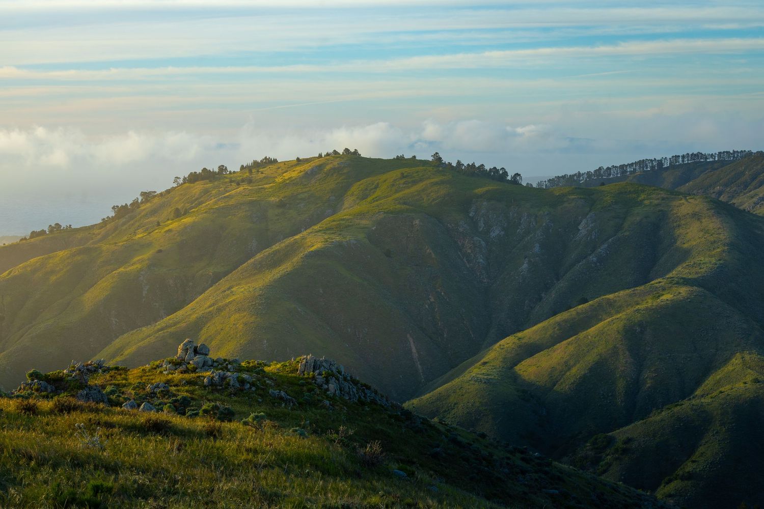
I had nailed the timing.
Golden hour turned every angle into a photograph worth taking. The summit delivered 360-degree views: ocean to the west, canyon to the south, the Santa Lucia range stacked to the east. It was the kind of place that makes you stand still for a minute, not to rest, but because moving feels like the wrong response.
It was worth it. All of it.
West | Rocky Ridge Trail Front Side
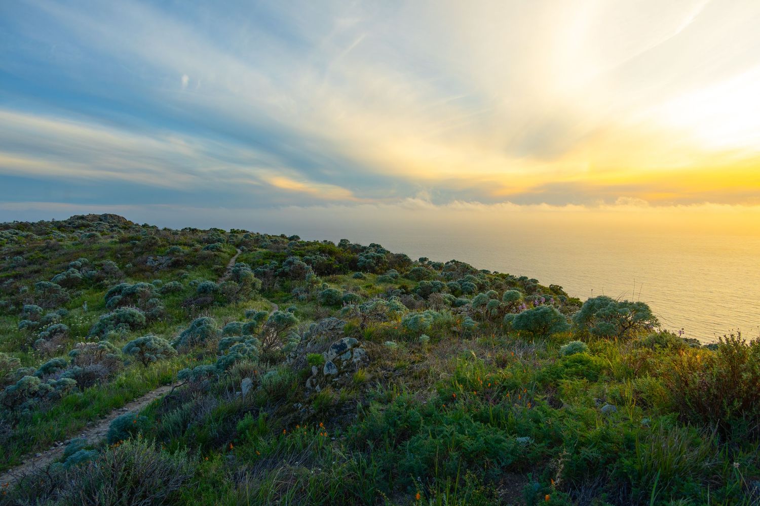
I moved quickly down the western descent, wanting to finish with some daylight left. The erosion here is just as bad as the eastern leg, but the views are dramatically better. The Pacific keeps appearing between the hills, growing larger as you drop. Where the eastern slog offers nothing to look at but the ground in front of you, the western descent keeps rewarding the effort.
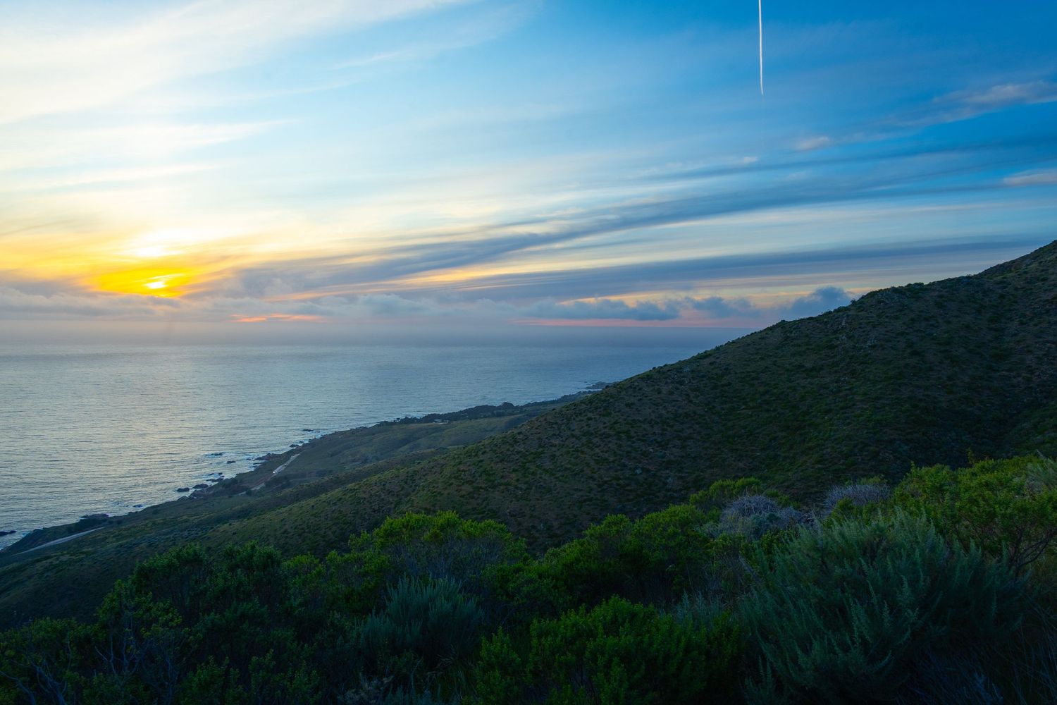
A thought struck me about two-thirds of the way down: if I ever do this hike again, I'd skip the south and east legs entirely and hike the west and north sections as an out-and-back. Skip the eroded canyon slog. Skip the hum-drum redwood stroll. What's left is a coastal views hike to a summit with massive 360-degree views that deserves every superlative it's collected, over a decade after those sections were technically closed indefinitely.
At the bottom of the western descent, I arrived at a sign informing me that the entrance I was leaving through was closed. It still wasn't clear which part of the trail was closed.
Further West - Bonus Hike
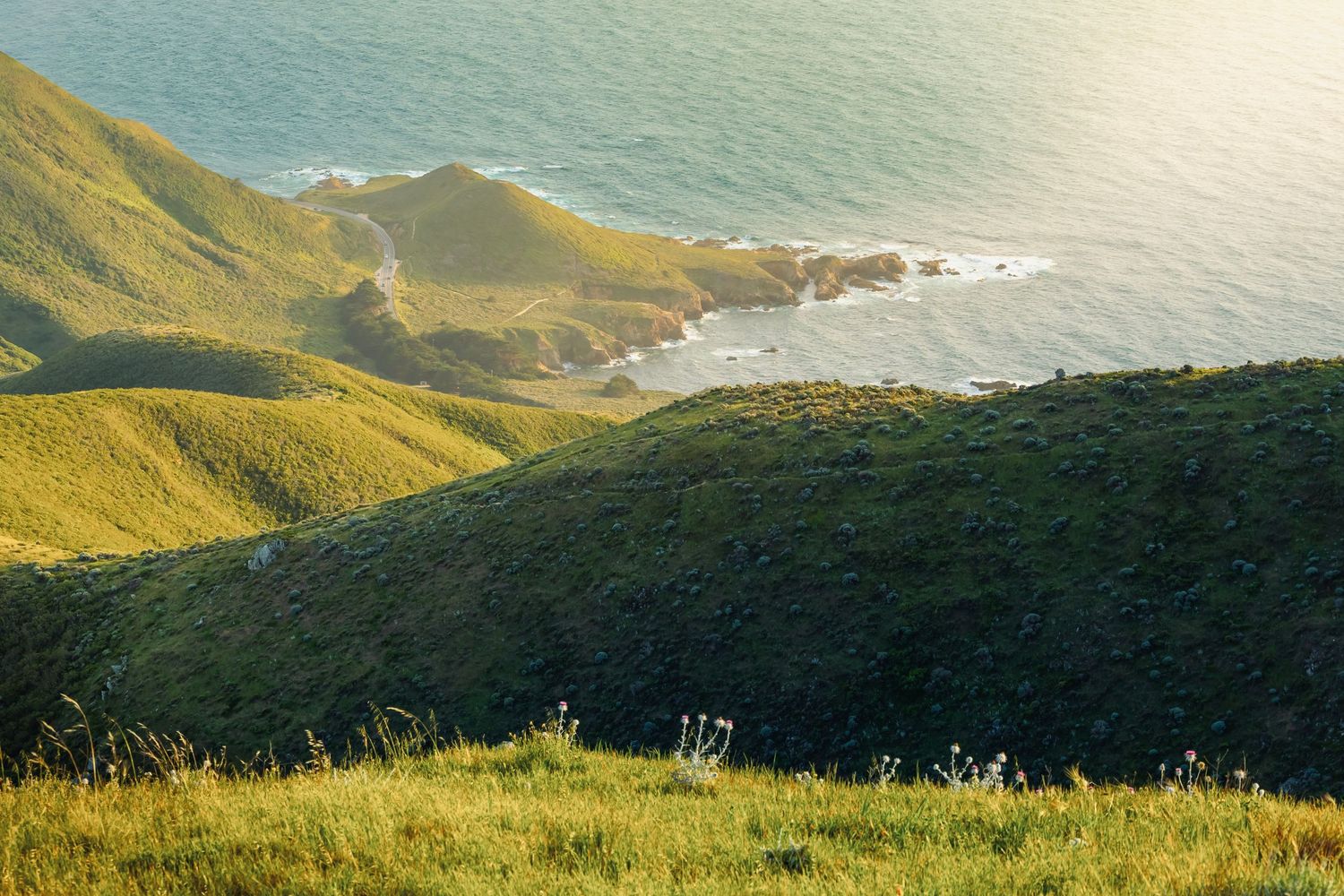
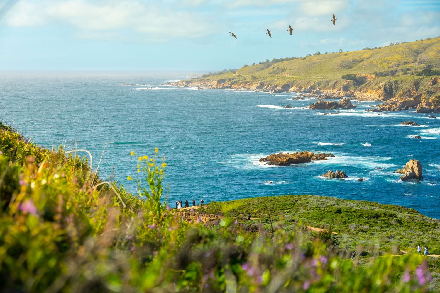
Whale Peak is a 1.5 mile trail from the same trailhead as Sobernaes. It takes you to the west side of Route 1 on a tour of the coastal bluffs surrounding Whale Peak, with an optional quick summit. If this existed in a part of the country that wasn’t so over-gifted with gorgeous coastlines, it would be must-do hike in and of itself.
Worth It
When someone asks if a hike was "worth it," I always giggle. Worth it? The hike itself is the reward. I love the process.
I've tackled much more physically demanding hikes with a smile. But by the third mile of Soberanes, I felt gaslit by the glowing reviews. The fact that AllTrails didn't show the full loop made me more skeptical with every uphill step. By the time I reached the summit, my guard was down. And then I was love-struck out of nowhere.
This hike won my heart by almost losing my trust. No algorithm surfaces that. No star rating captures it. The locals figure it out. A bartender tells you about it. In the week after this hike, I returned to the bar a few times looking for that bartender. I never found him.
This article and all photos herein: © Brian Gundersdorf, 2026. All rights reserved. For licensing or partnership inquiries, contact Brian Gundersdorf.
About The Author:
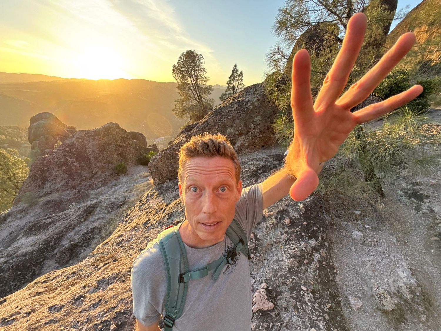
Brian Gundersdorf is a creative director and brand journalist on a solo cross-country journey documenting America's landscapes, trails, and coastlines by car, boot, camera, and keyboard. He's looking for the outdoor brand or agency partner that wants to make this journey theirs.
When he isn't hiking volcanic peaks in the rain, Brian serves as creative director at Bruck Marketing. He's spent 25 years producing brand identity, graphic design, photography, digital products, and messaging strategy for brands from Fortune 100 companies to scrappy startups.