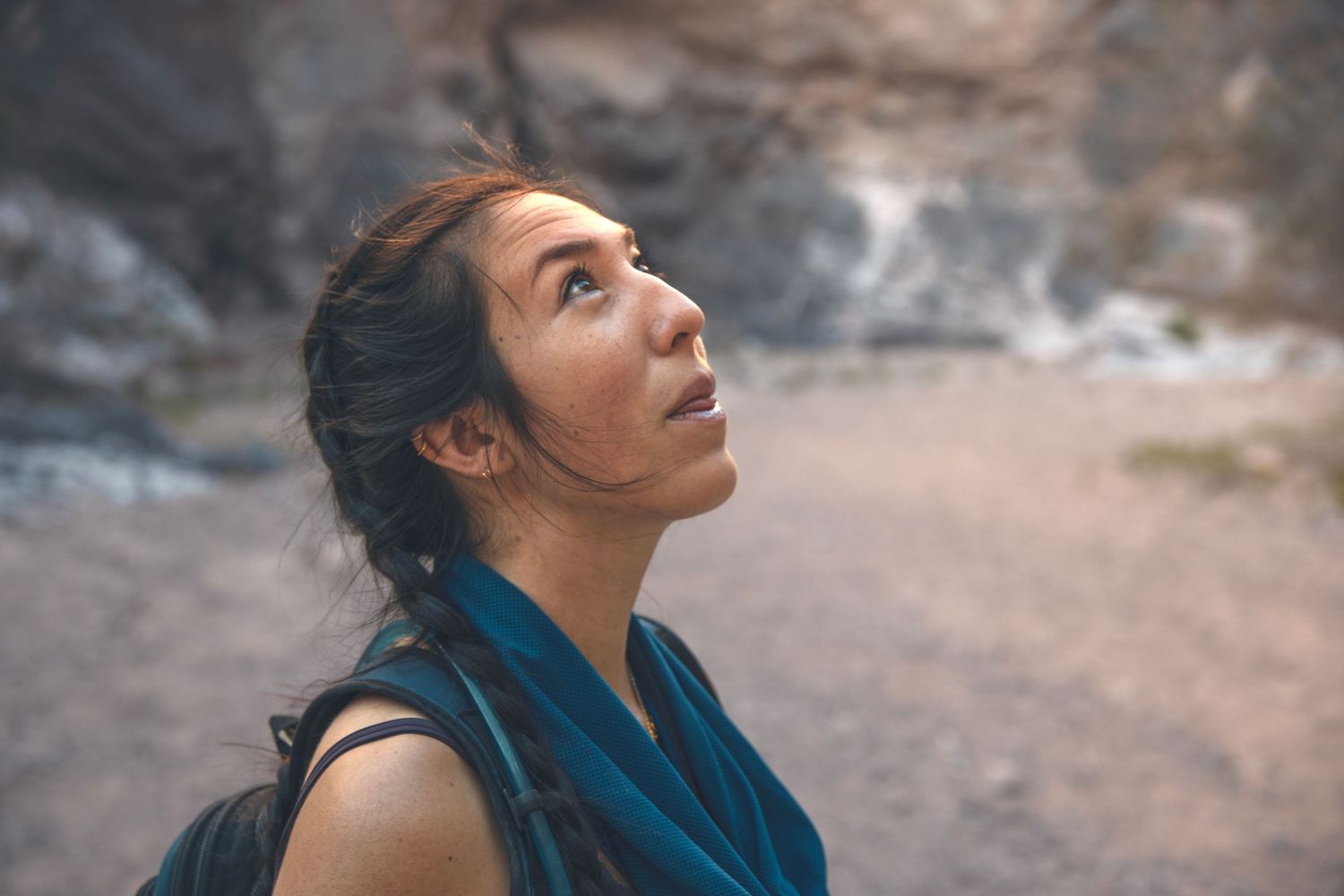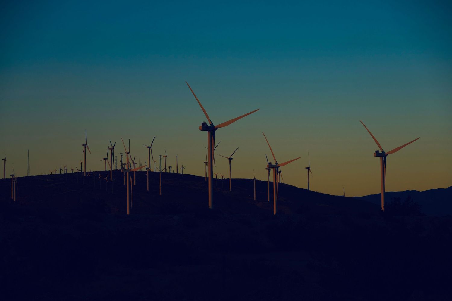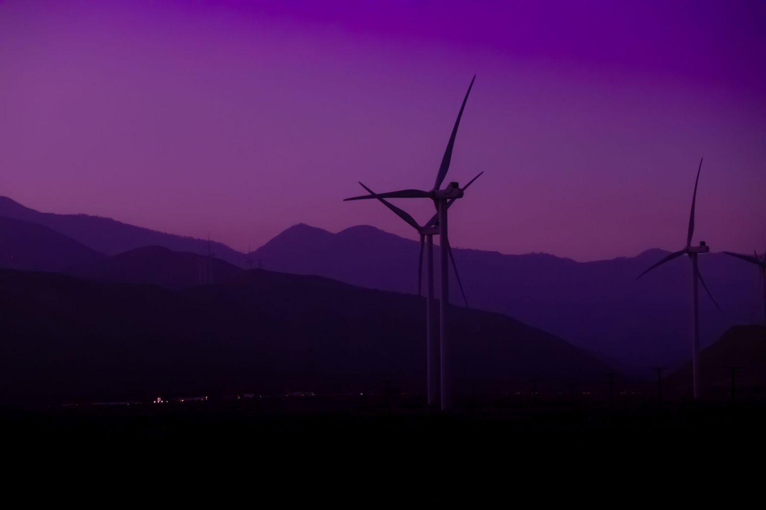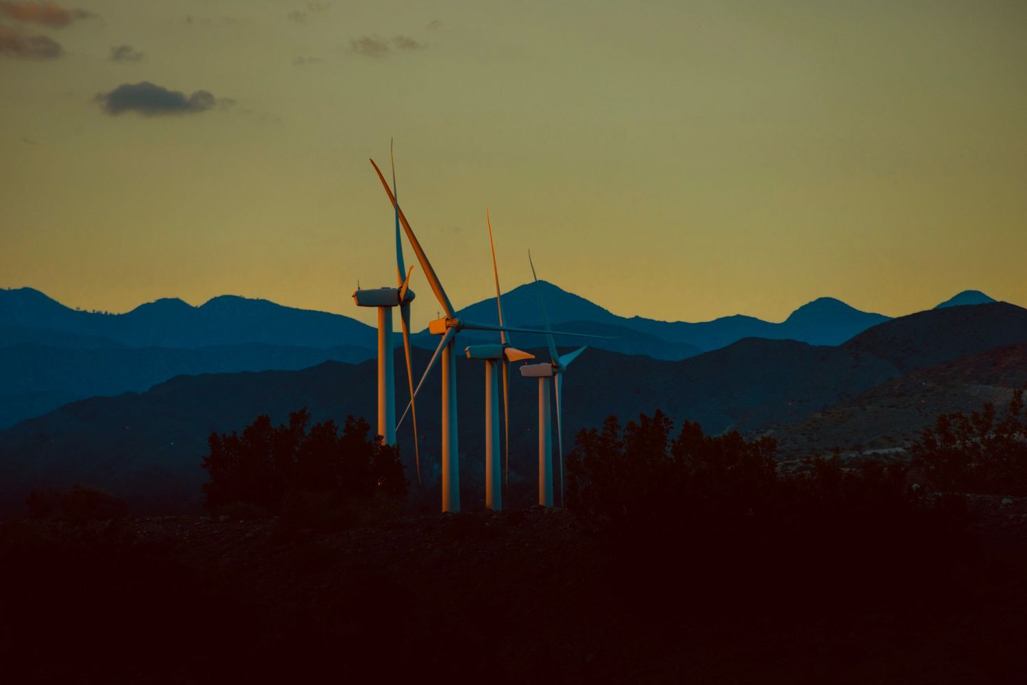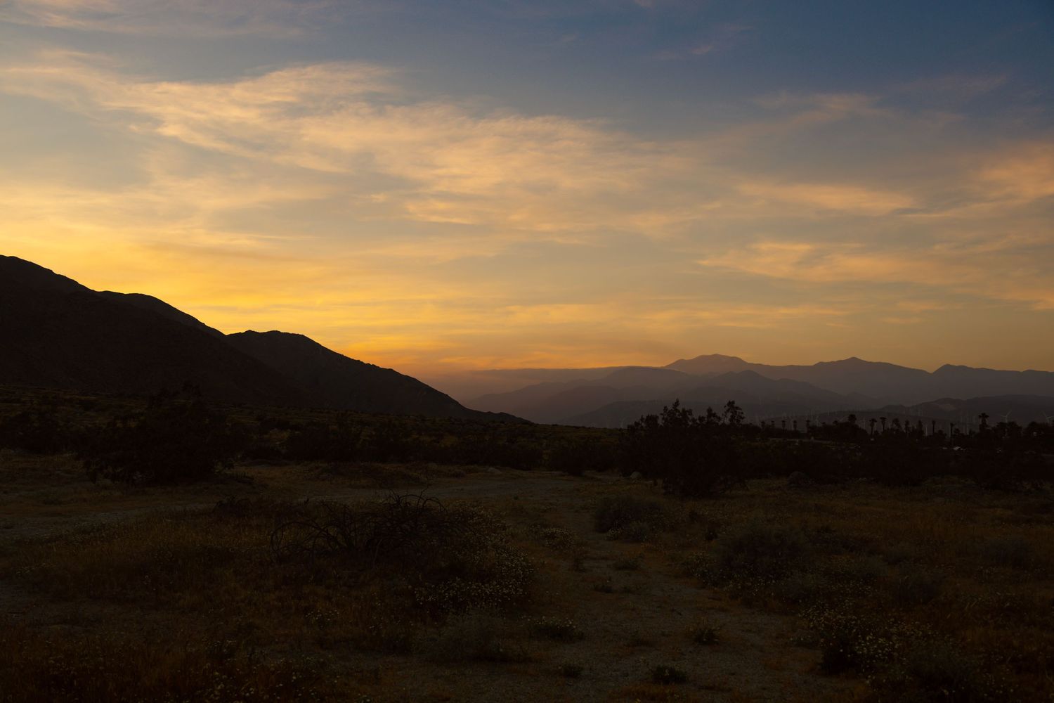
I drove the 10 West route from St. Augustine, FL to Palm Springs, CA. And I’ve now spent a month using Palm Springs as a base camp for hiking and sightseeing. In this entry, I’ll share my favorite hikes and biggest warnings about Palm Springs.
Why Palm Springs for Hiking?
Palm Springs is uniquely positioned:
- Dozens of free desert trails start right in or near downtown.
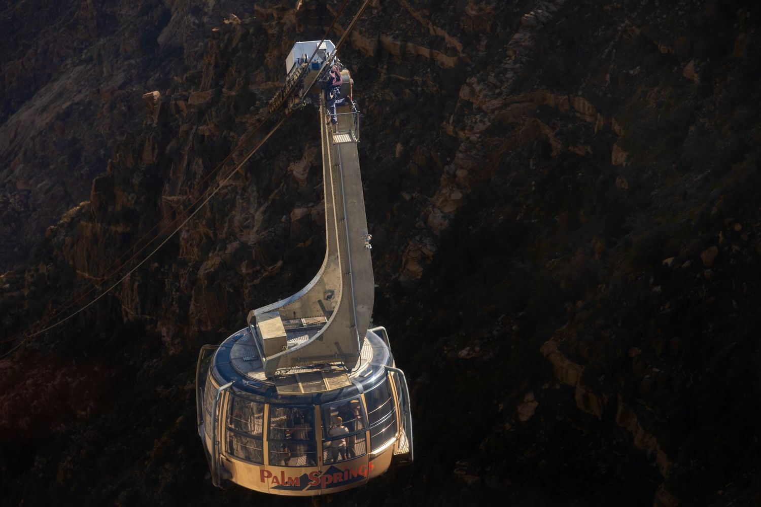
- The Palm Springs Aerial Tramway launches you to 8,516 ft on Mt. San Jacinto, where the ecosystem flips from desert to alpine forest.
- Joshua Tree National Park is only an hour away.
- Side quests in every direction lead to slot canyons, oases, and mountain terrain.I even made a day trip to Painted Canyon / Ladder Canyon, and I drove to San Diego and Los Angeles for city adventures. Visitors (thank you Bill, Yascha, Natalie, Keaton) made this adventure feel less isolating.
I've gotten into a ton of good shenanigans this month. But it hasn’t been perfect. Let’s get the warnings out of the way.
Palm Springs Warnings
- The Weather - This is one of the hottest towns in the country. When I arrived in mid-February, temperatures here were perfect. I could hike every day. But by March, I was looking at high temperatures above 100 degrees. As I type this, it’s 103 degrees here, and even the evenings are too hot for me to hike. Even on the hottest days in St. Augustine, I could play pickleball or volleyball at night. Here, that feels unimaginable.
- Gas - Driving around here is wonderful. Everywhere you go, you’re surrounded by mountains. During sunset, you get a different look past each layer of each ridge, and it inspires me to drive a lot. Day trips to Joshua Tree National Park, Los Angeles, and San Diego are tempting. But gas prices in California are epic. Currently $5.50/gallon for regular unleaded.
- Practical Shopping - The downtown main street seems endless. It’s full of shops. But every time I had a practical need, I couldn’t find what I needed downtown. For a town with great hiking, I was surprised to have to drive 40 minutes to an REI to get what I needed. The closest you’ll find downtown is a shop called Birkenstock that has some hiking shoe options.
Hiking Palm Springs
The Carl Lykken Trail
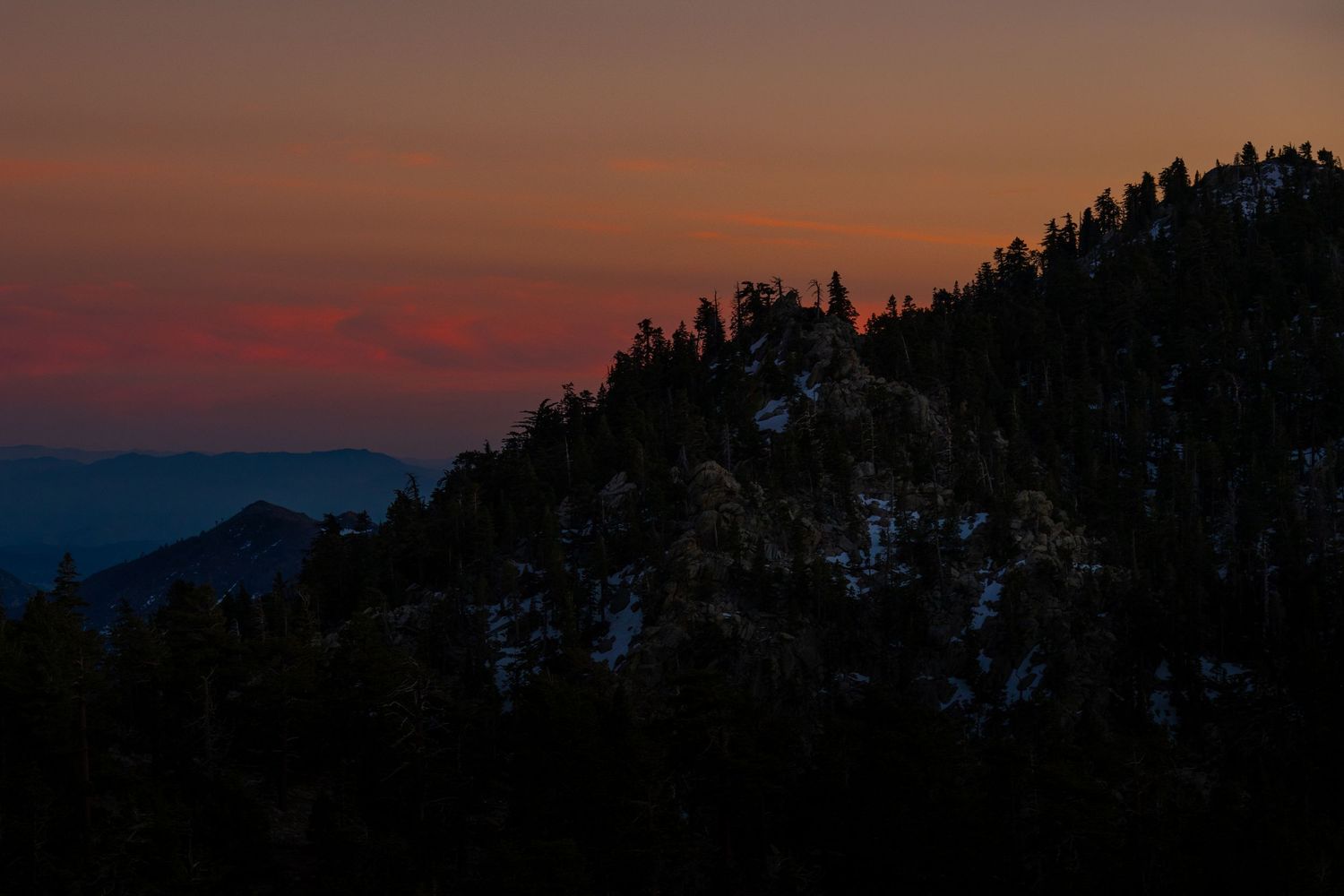
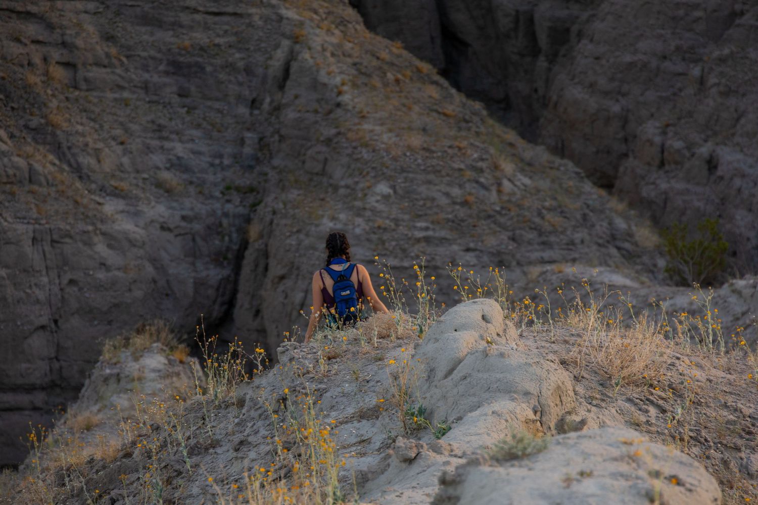
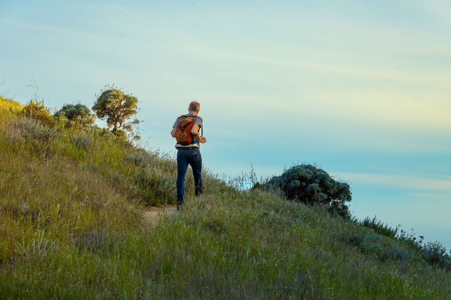
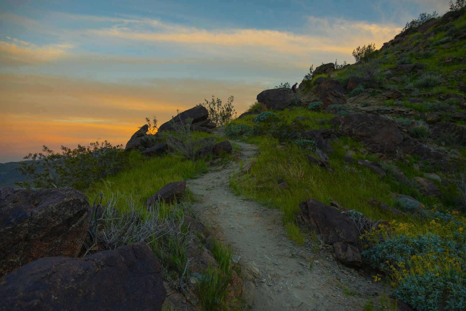
There are north and south sections of this trail. I loved both sections, but if you do just one trail in Palm Springs, get after the South Lykken Trail. Start here: South Lykken Trail North Section. I recommend hiking this at sunset and watch Palm Springs light up from the top. Bring a flash light. Some of the terrain is a little dicey for hiking in the dark. It’s free. Be careful to check signs for legal parking areas.
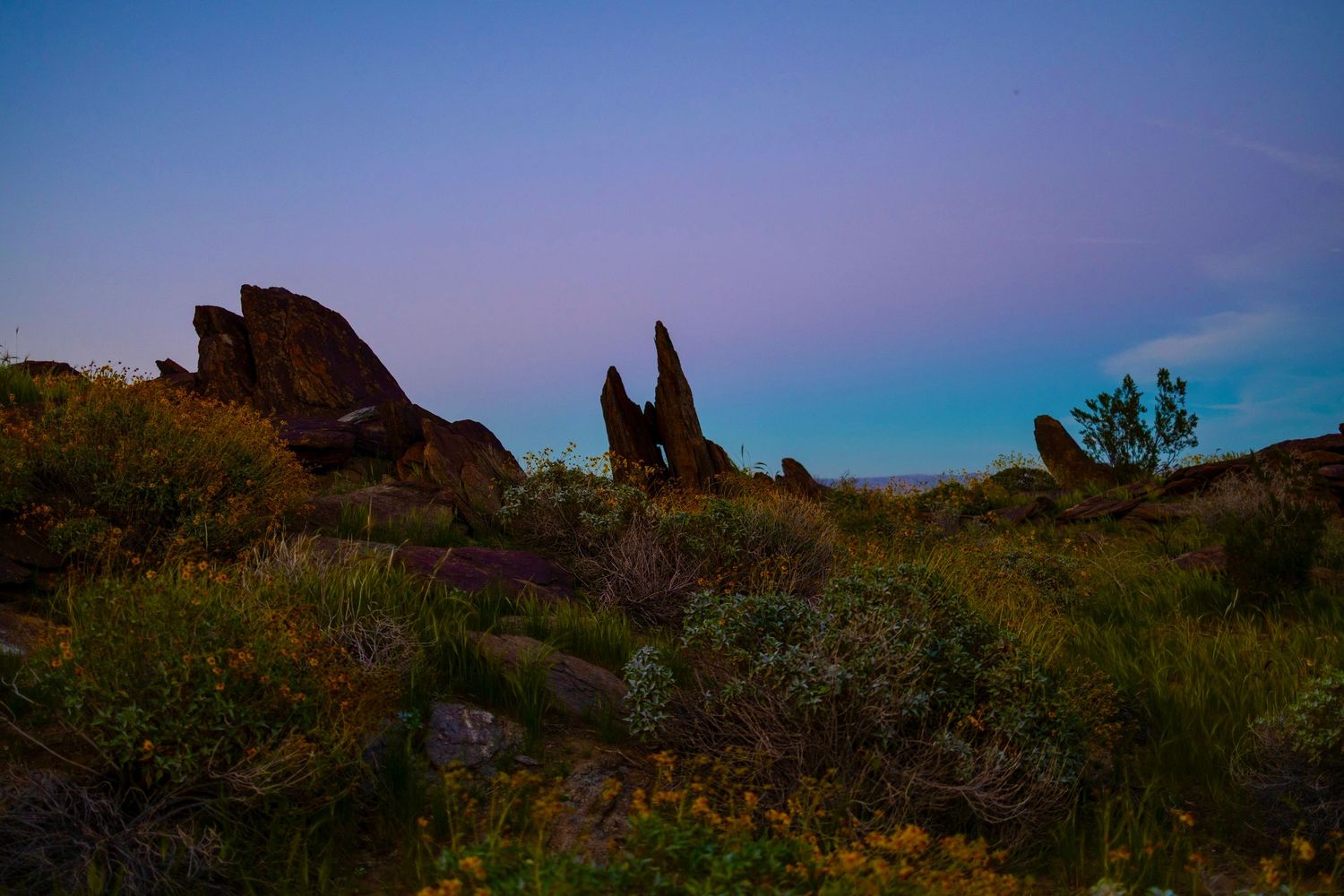
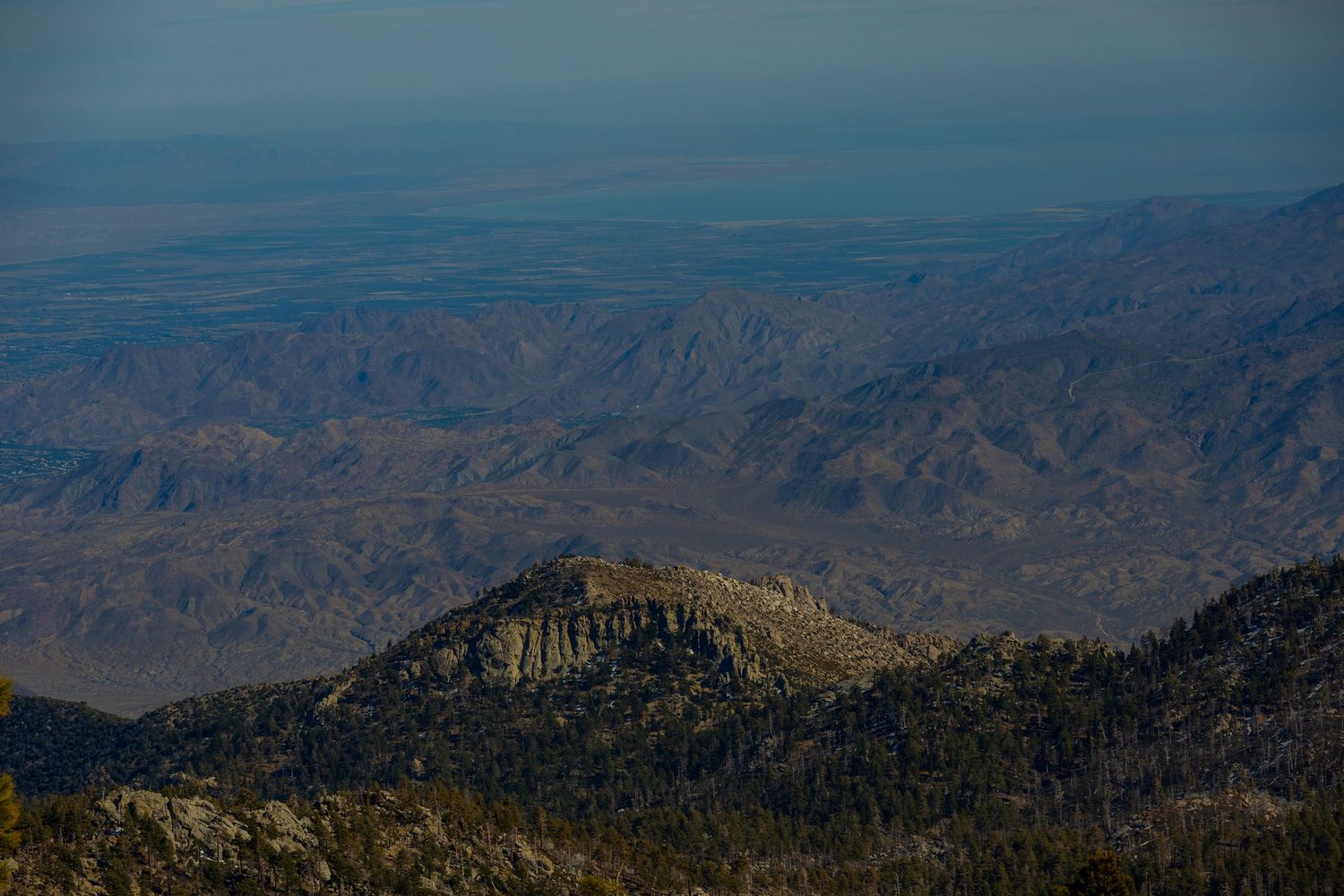
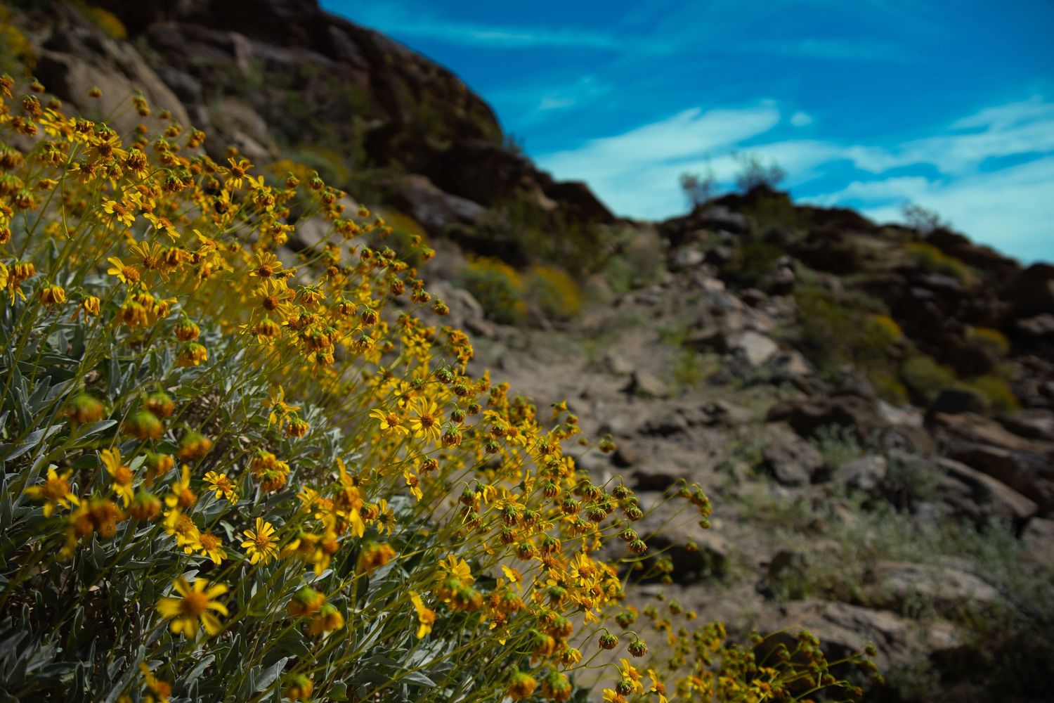
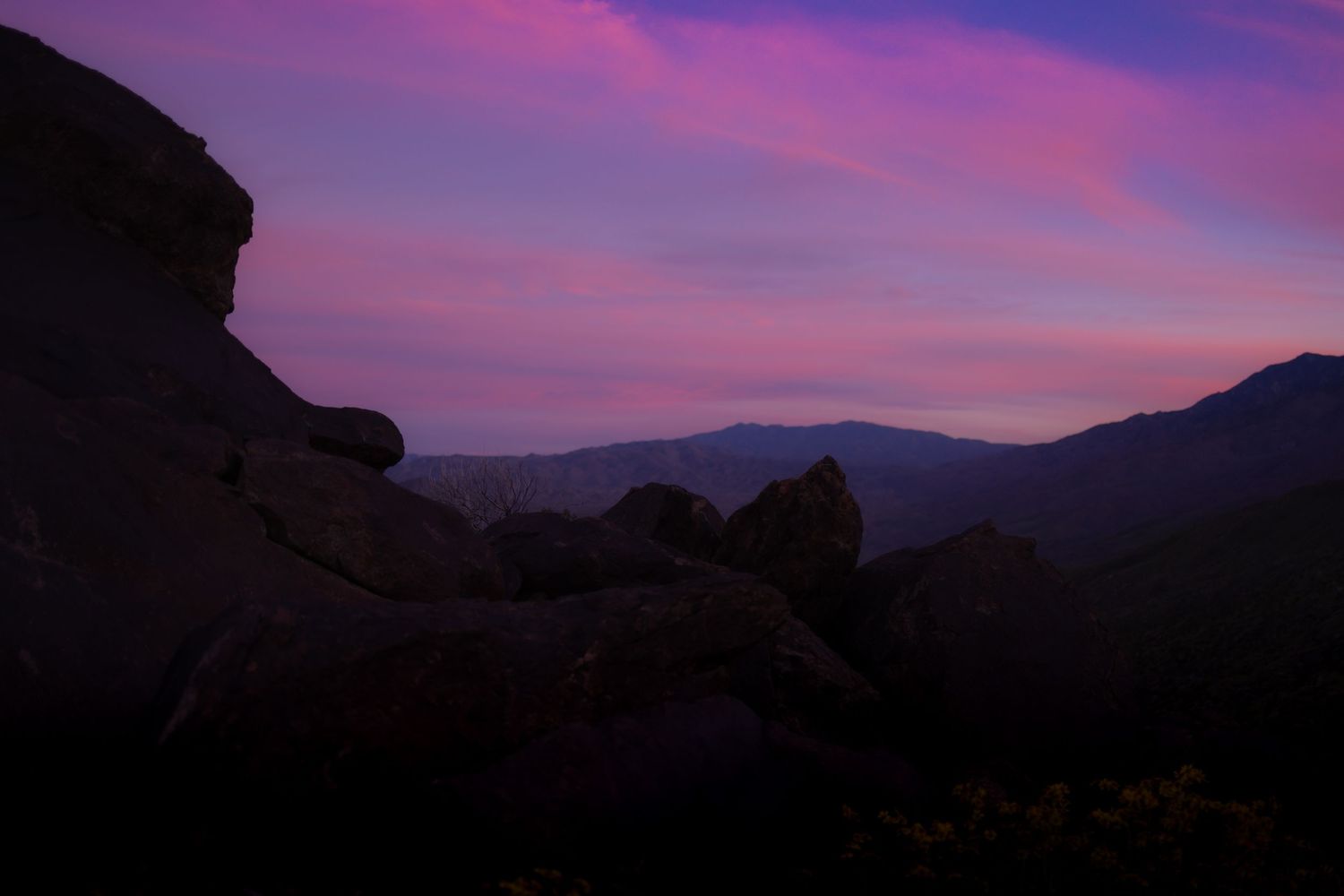
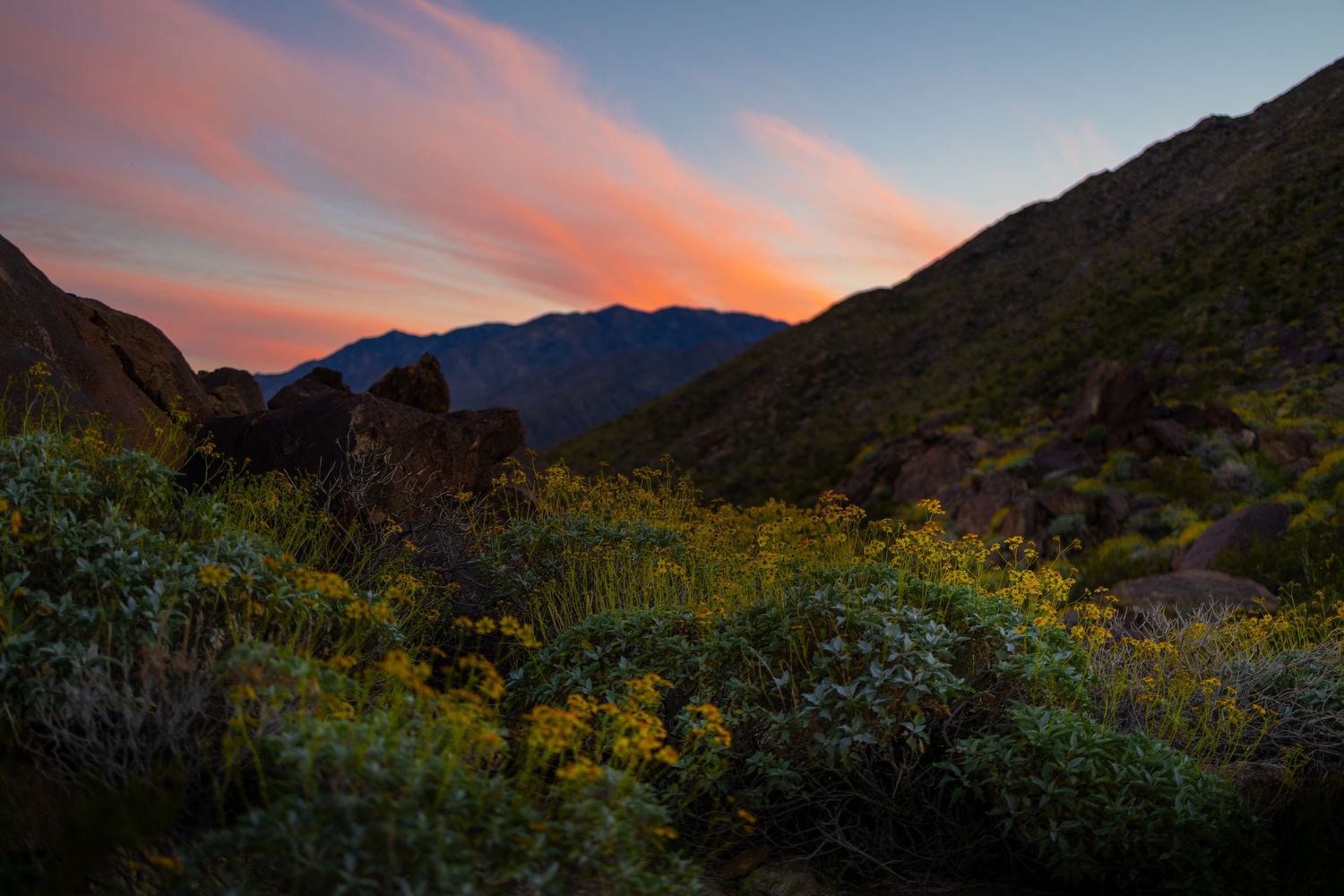
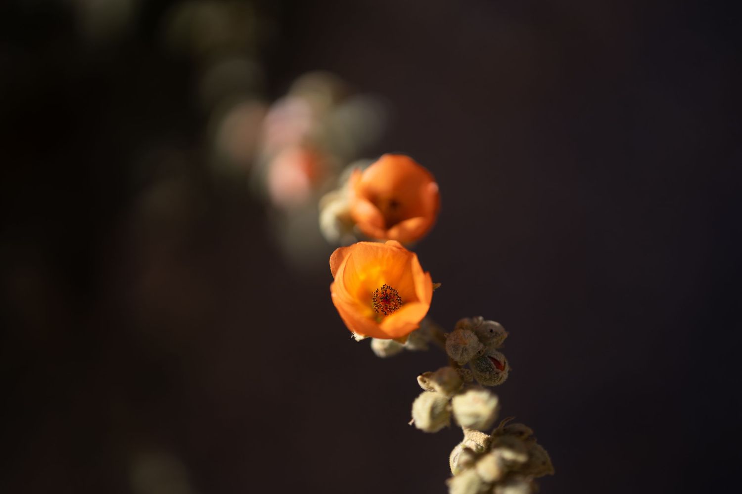
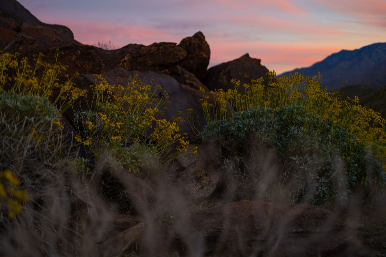
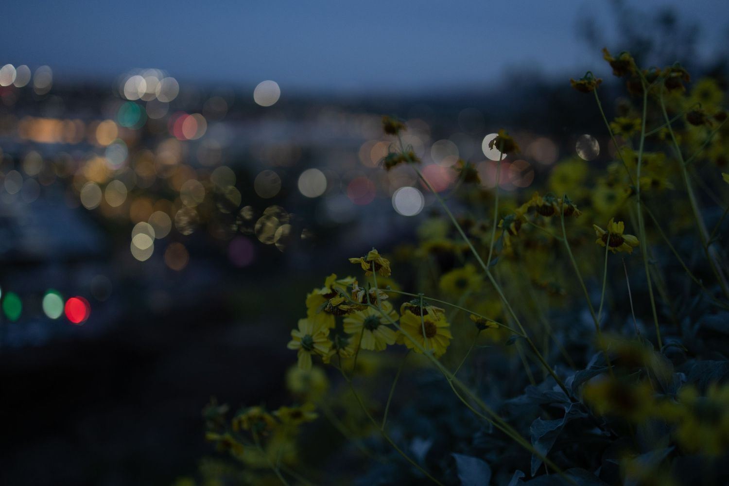
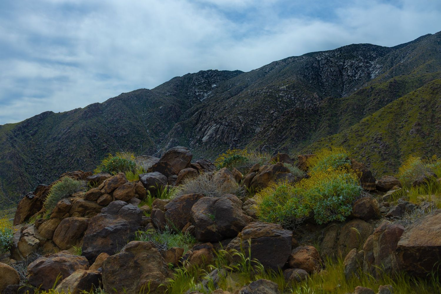
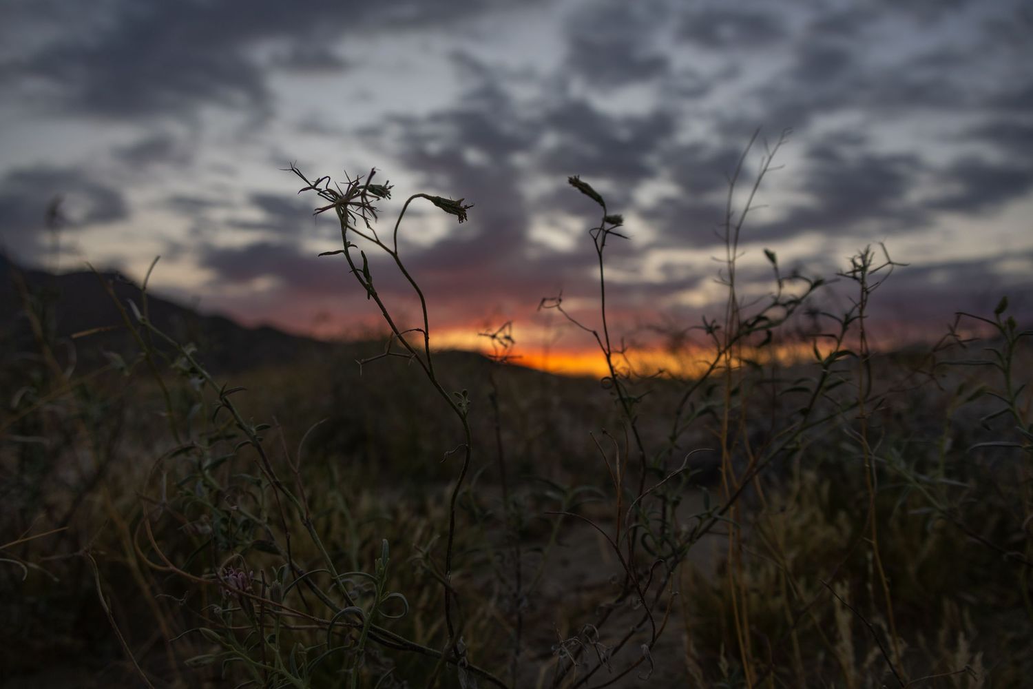
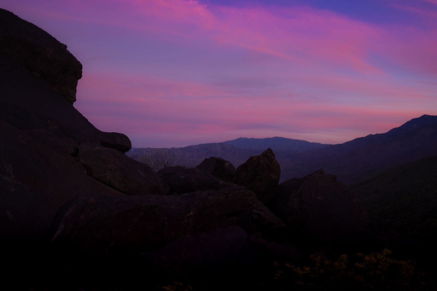
I was lucky to hike the Lykken Trail on a cool evening, under sweeping clouds, during a desert super bloom, with a distant dust storm painting a burnt ochre dusting on the horizon. The layers of the mountain range continuously revealed themselves as I progressed over each ridge. Carpets of yellow brittlebush and bursts of purple desertbells lined the trail. Bees and butterflies happily pollinated the apricot mallows. As the day gave way to sunset, the sky offered a full-scale color and light show. Finally, the sun disappeared completely, leaving the headlights, house lamps, and storefronts of downtown of Palm Springs on display for my descent back to the desert floor. This seems like a convergence of wildly lucky conditions. But in Palm Springs, good luck showed up more often than it had any right to.
Museum Trail
The Museum Trail terrain and viewpoints are similar to the Lykken trails, but the trailhead is literally downtown (right behind the Palm Springs Art Museum). It gets off to a steep start, if it’s too much for you, you’ll figure that out quickly. It’s free, and there’s a parking garage right there that usually has spots available. Sidenote: You can visit The Palm Springs Art Museum for free Thursday nights from 5-8pm.
Tahquitz Canyon Trail
This one costs $15 and they won’t let you start later than 3:30pm. It’s not my favorite of the trails in town. But The Tahquitz Canyon Trail is different, and I recommend it. It’s a loop through the canyon, and at the far end of the loop a waterfall feeds an ice-cold pool of water. Wear a swimsuit for this hike, if you’re up for a cold plunge.
Mount San Jacinto
The desert floor is about 500 ft above sea level. The peak of Mount San Jacinto sits at 10,834 ft. There are two ways to get to the top.
- The Cactus to Clouds hike takes you all the way from the desert floor up to the peak over 20 miles (one way!). Being fit isn’t enough. You need to consider the 40-degree temperature difference, the potential for dehydration and heat stroke at the bottom, and the potential for snow and altitude sickness at the top. This is frequently referred to as “The Hardest Hike in the United States.” I didn’t do that.
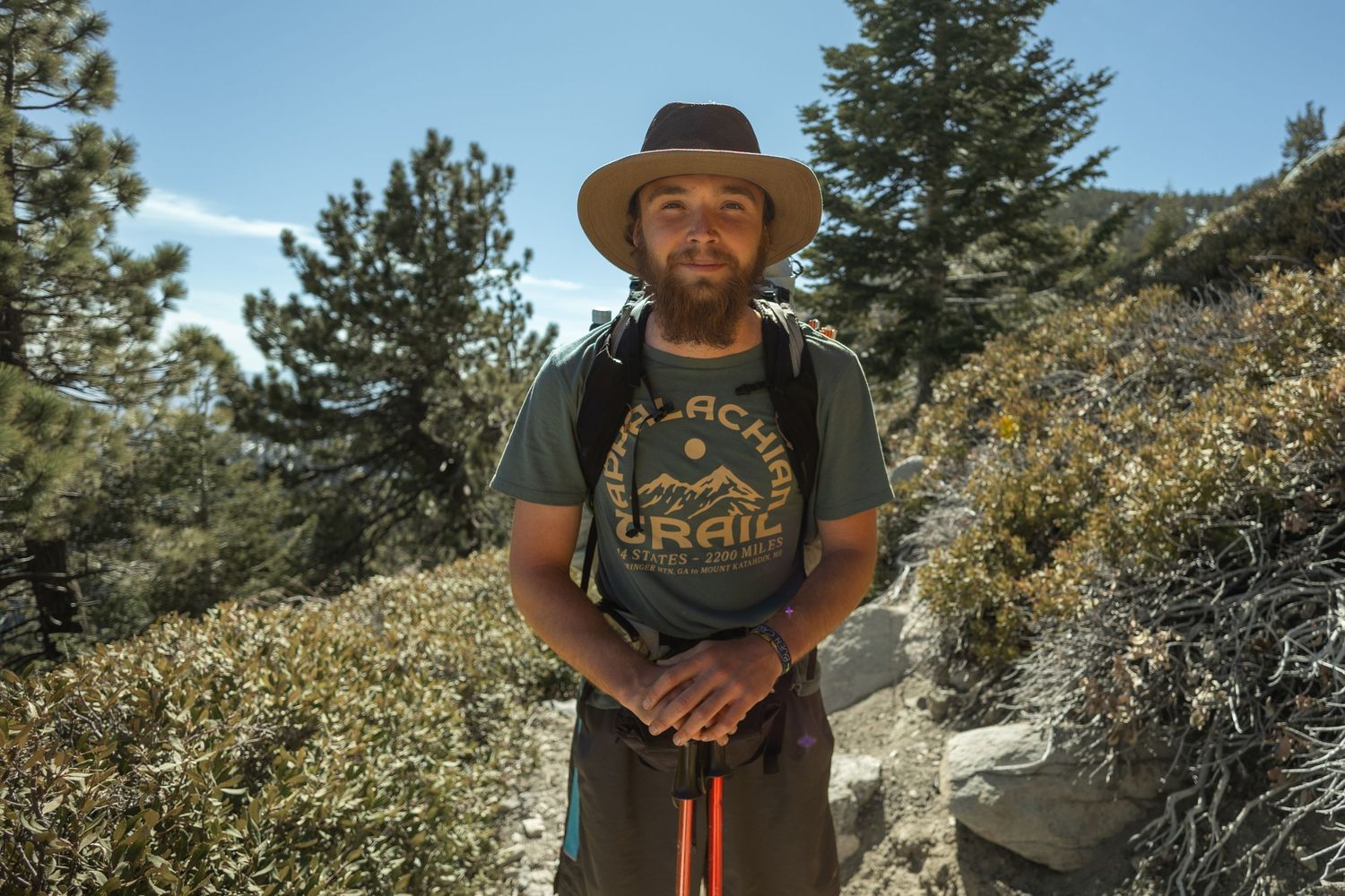
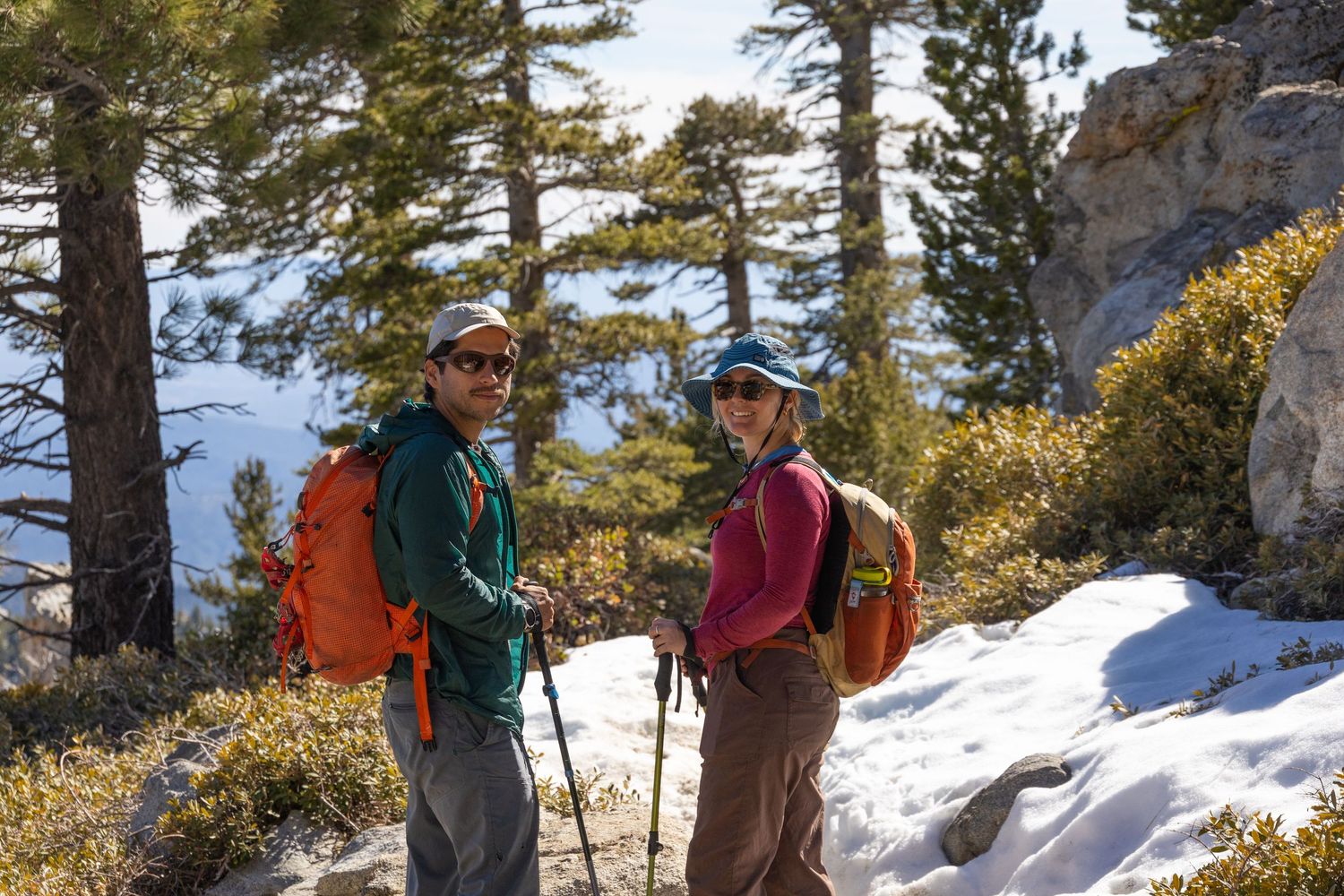
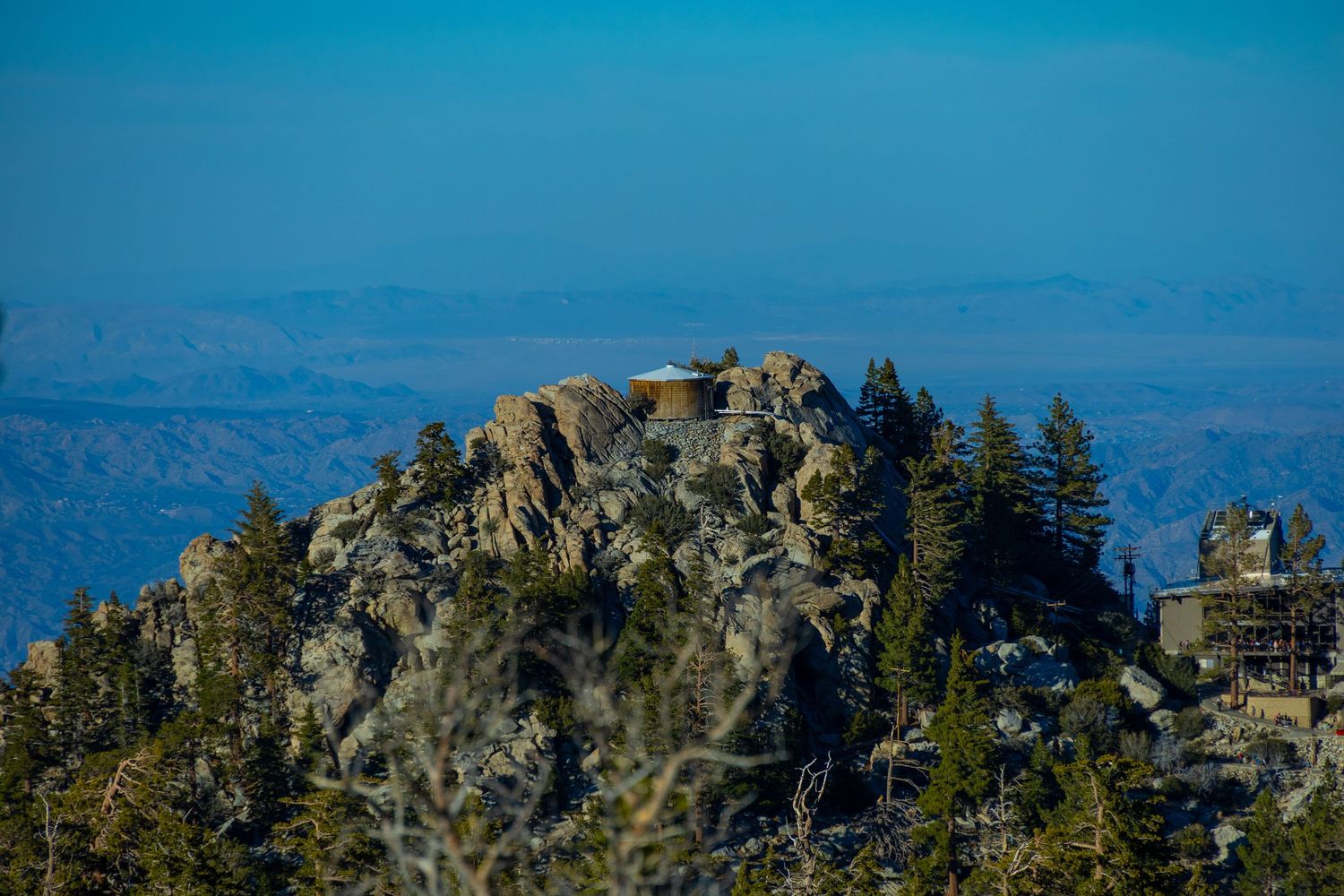
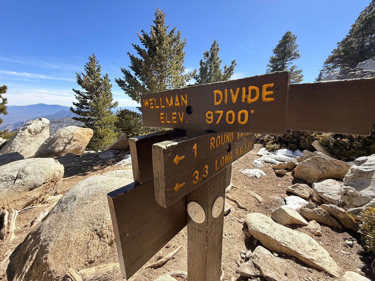
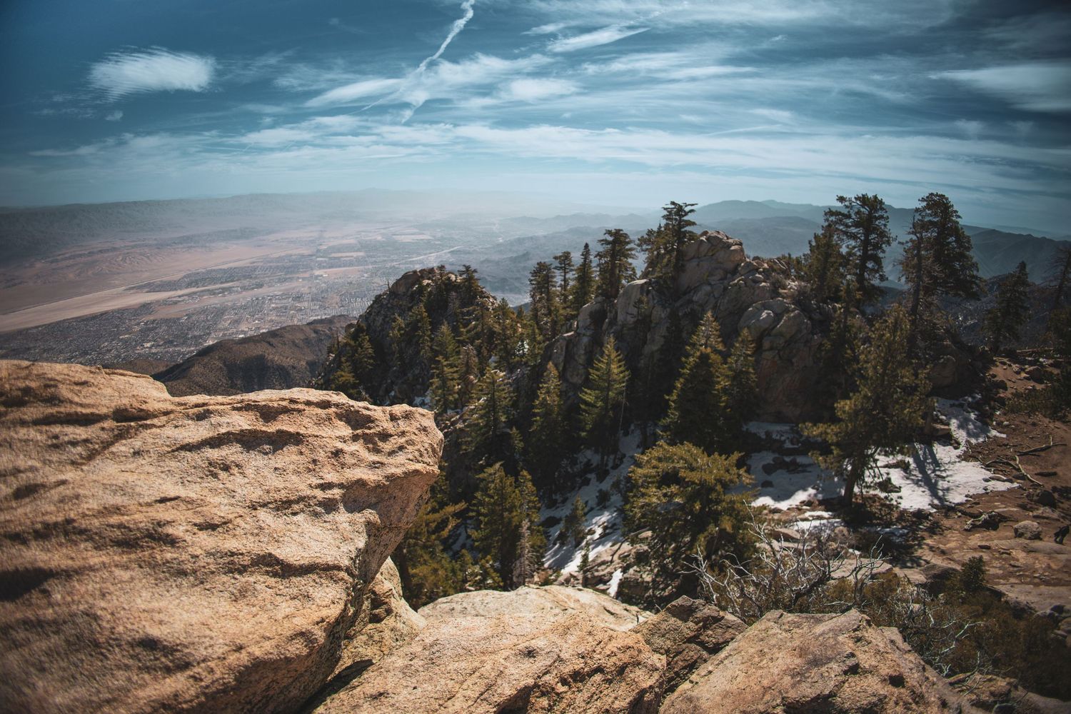
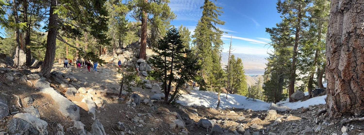
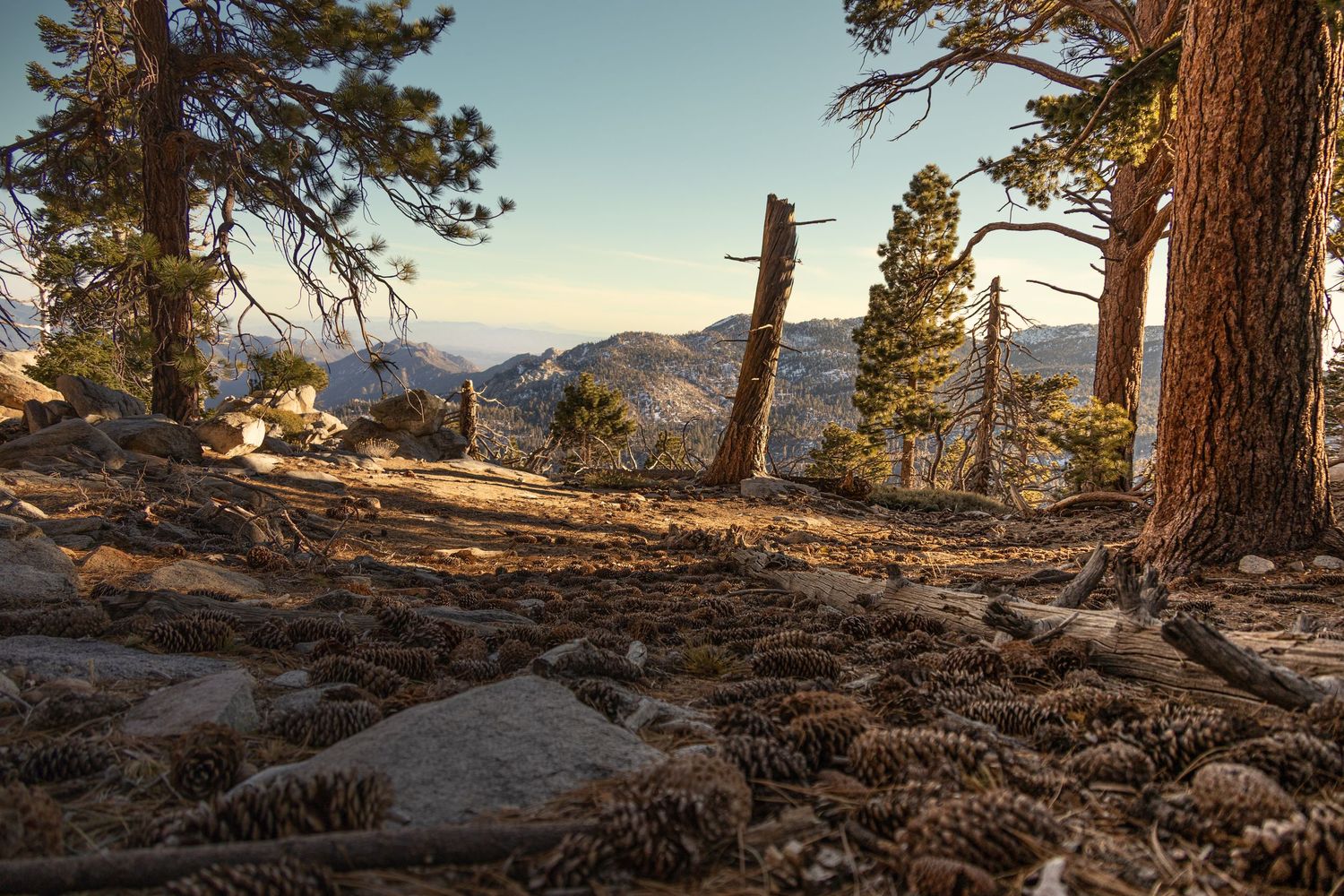
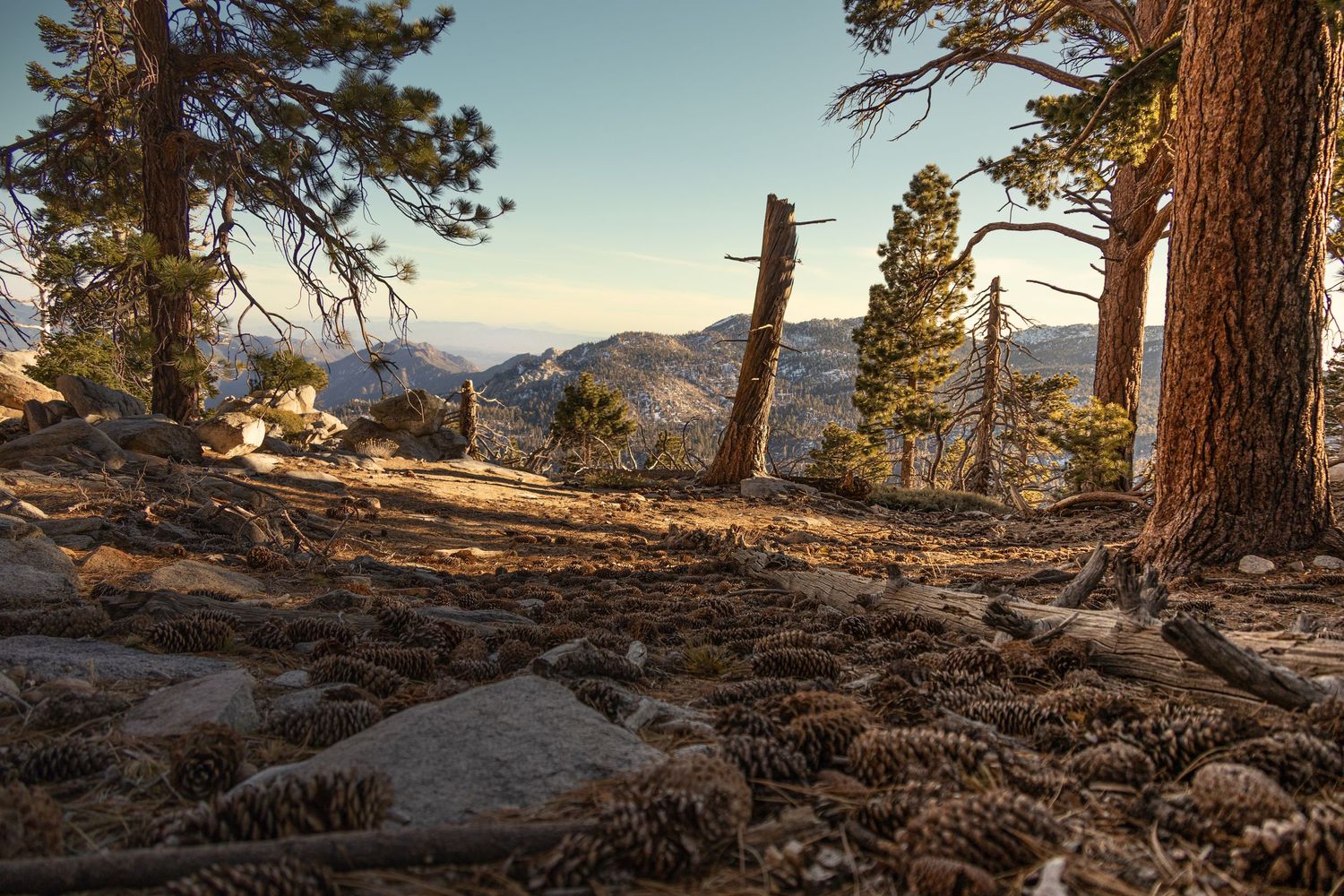
- I took the Aerial Tram up to 8,516 and hiked to Wellman’s Divide (9,700 ft). And I did some fun side quests. The ecosystem is completely different at the top. Pine trees replace the desert cactus and flowering shrubs. This wasn’t a bucket-list-level hike for me. But it’s definitely a worthwhile experience to basically teleport to a different climate and ecosystem—that you can see from the desert floor. My favorite side quest was along part of the Willow Creek Trail. If I had it to do again, I’d do that entire trail.
Pro-tip: Invest in snow cleats for Mount San Jacinto hikes. I didn't, and I wished I had.
There’s a fancy restaurant at the upper tram station, and a casual cafe. Trails for every level have trailheads from this spot, but save energy to walk up the grueling paved ramp to the tram station.
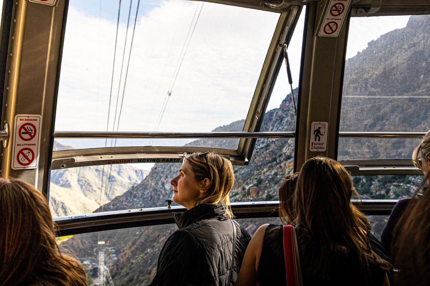
The tram is fun. It goes fast, and each time it reaches a cable tower it seems to toss you up in the air a bit and then catch you. I got the party tram on the way down and there was dance music, a light show, and lots of screaming along the way.
It’s okay to say “juh-sin-to” or “ha-seen-toh.” Or, if you want to show some history chops, you can even say “Saint Hyacinth.”
Joshua Tree National Park
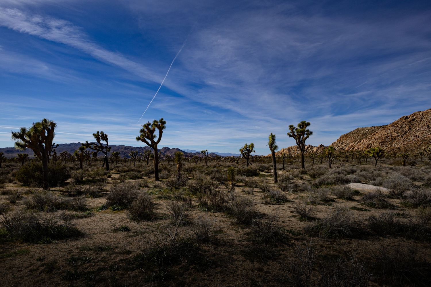
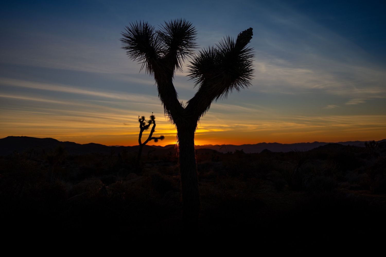
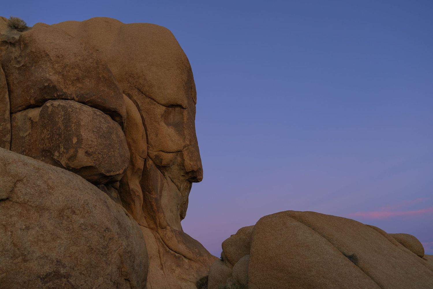
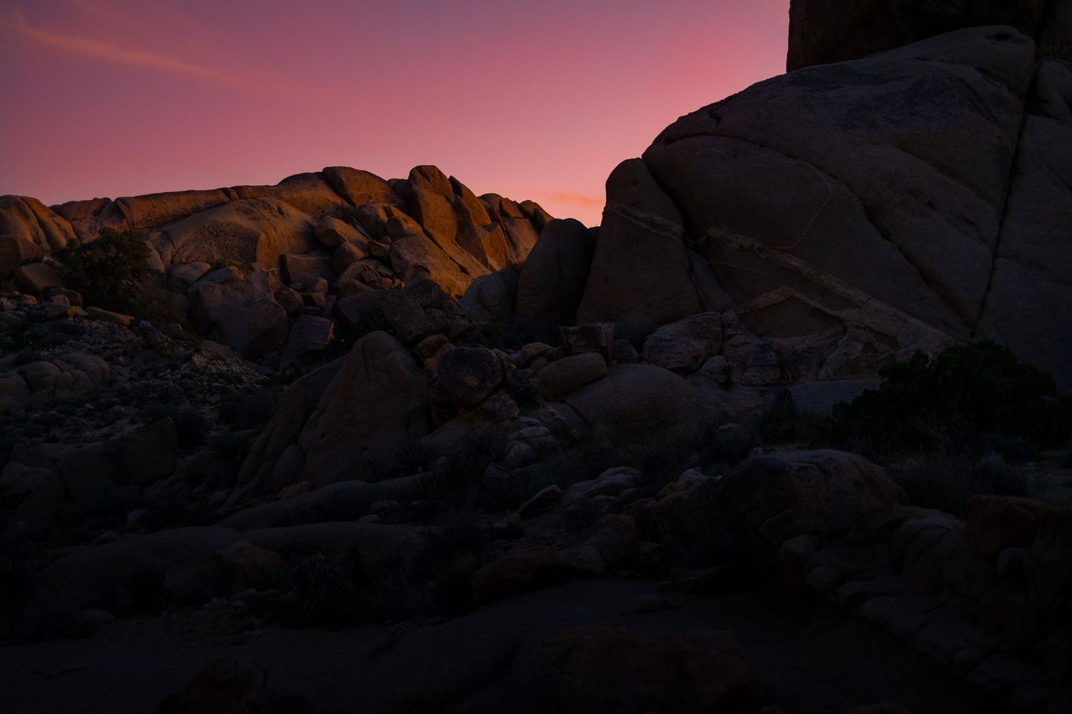
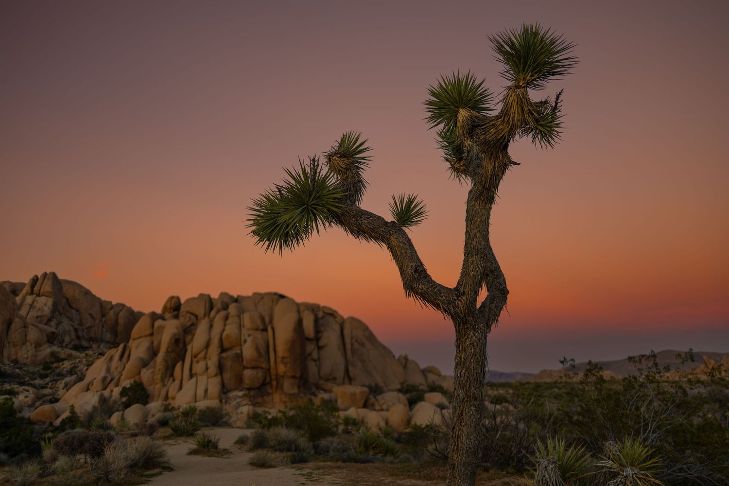
I like Joshua Tree National Park more each time I visit. And from the north edge of Palm Springs, it’s only an hour drive. It's more about the vibe of the park, the rock structures (which are all around you) and trees, than any single hike. But go do the Split Rock Loop for a good taste of the park. Camp at Jumbo Rocks Campground, and wake in time for sunrise there. Eat at Grnd Sqrl in TwentyNine Palms.
Painted Canyon and Ladder Canyon
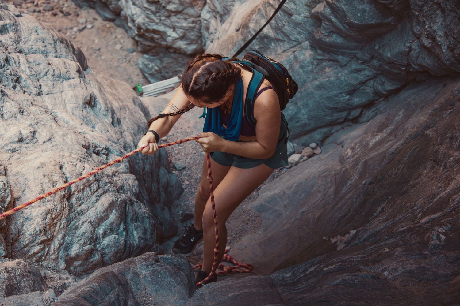
This unique area is 1.5hrs from Palm Springs, and requires four miles of rough dirt/rock road driving. At Painted Canyon and Ladder Canyon you’ll hike into a canyon using ladders and ropes. Another hike “Ropes Canyon” in the same area takes you through a tighter canyon and down ropes, including a straight 20-foot drop.
LA and San Diego
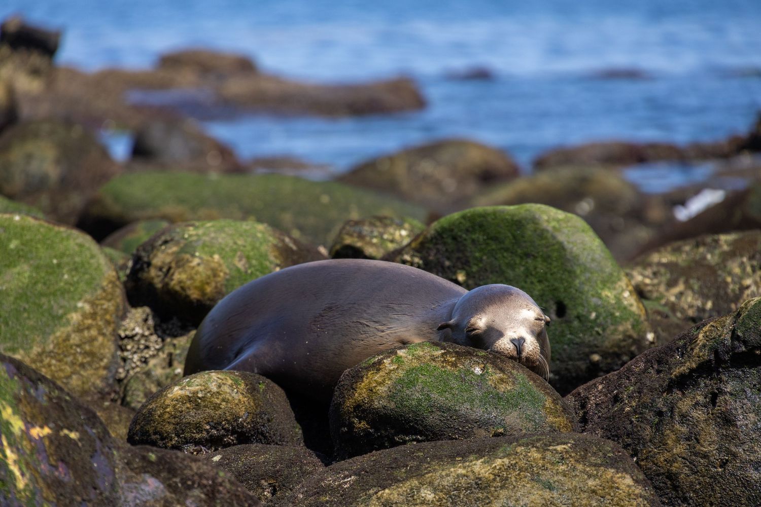
Also keep in mind, Palm Springs is a little more than 2 hours from Los Angles and San Diego, which are full of unique sightseeing and hiking options. Check out Griffith Park and La Jolla Cove.
Conclusion
Is this a world class hiking base camp? It’s certainly not not that. LOL. If you’re a warm-weather fan like me, Palm Springs serves a unique need for the coldest months of the year. I’d definitely come back from Dec-Feb and repeat some of these hikes. The local mid-century modern housing vibe is fantastic. I’d even consider moving here, but it’s just too hot most of the year. The locals tell you its an air conditioning town. But I want to live outside.
So, what now? Tomorrow, I start the drive to my next one month stay—in Cambria, CA. I’m so excited for the stops along the way in Ventura, Santa Barbara, Pismo Beach, San Luis Obispo, and Moro Bay. You seem fun—come with!