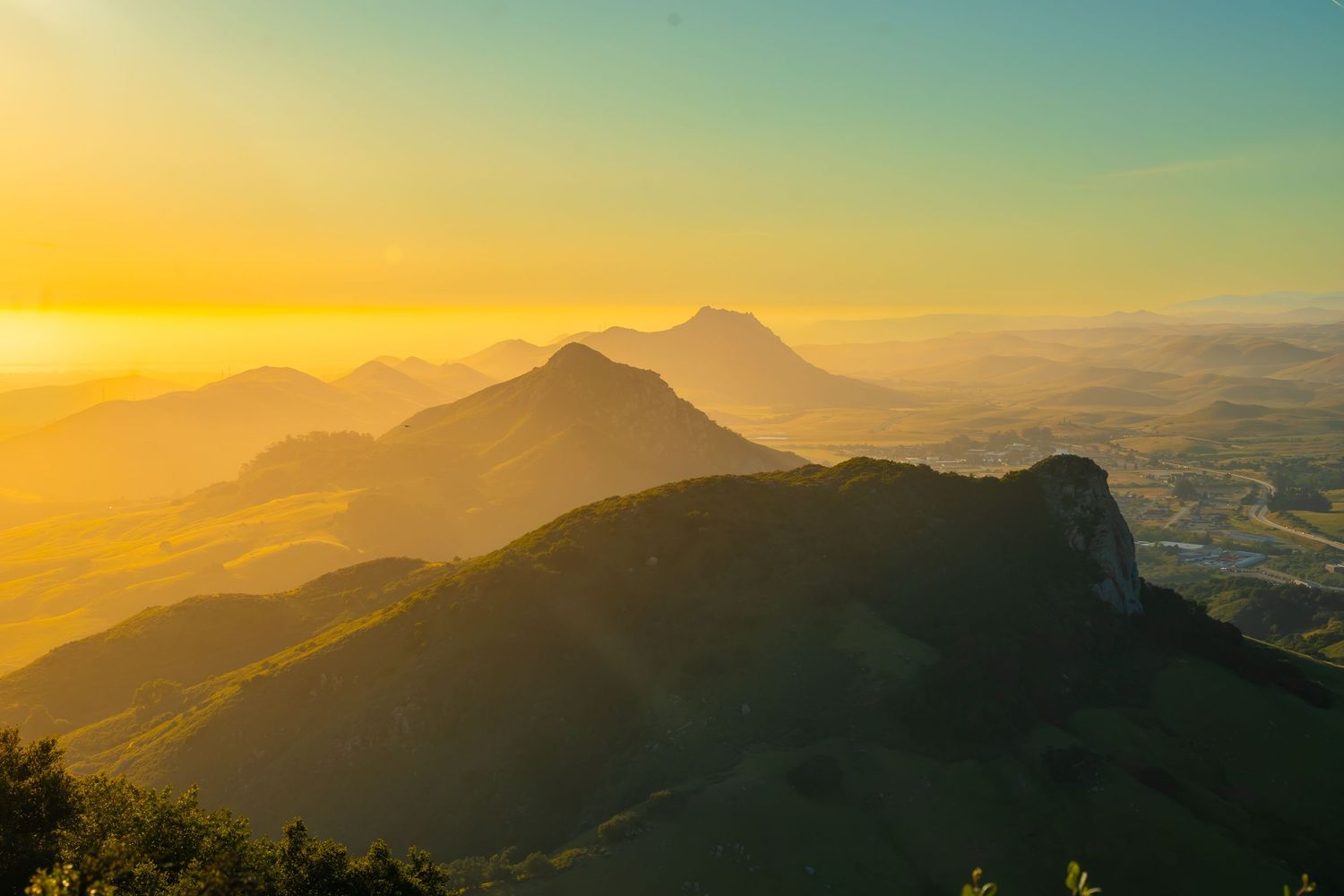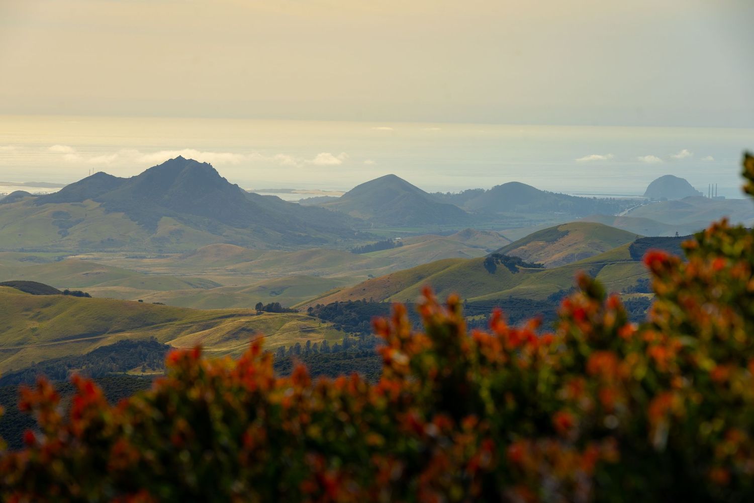
The southeast-to-northwest progression of morro hikes shift from the city of San Luis Obispo to the seaside town of Morro Bay—starting with Cerro Cabrillo. That separation is enough to generate different weather patterns.
Morro Bay and the Pacific Ocean churn out fog and clouds with wild abandon and clear them away just as quickly. A forecast of 'zero percent chance of rain' may as well be the prediction of a Magic 8-Ball. It might be right, but I’d pack a poncho.
PART 4 - GO TO PART 1
The Morro Bay Sisters: Cabrillo Hill, Black Hill, and Morro Rock
MORRO
Cabrillo Hill - The Challenging Sister
While the original Spanish pronunciation is "kah-BREE-yoh" (with a silent 'll' sound), the anglicized "brillo" version is widely used locally for this morro—and also for streets, schools, roads, and coastal features. But GPS uses the Spanish pronunciation—how has that not caught on?
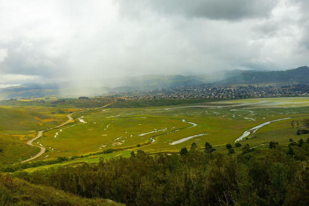
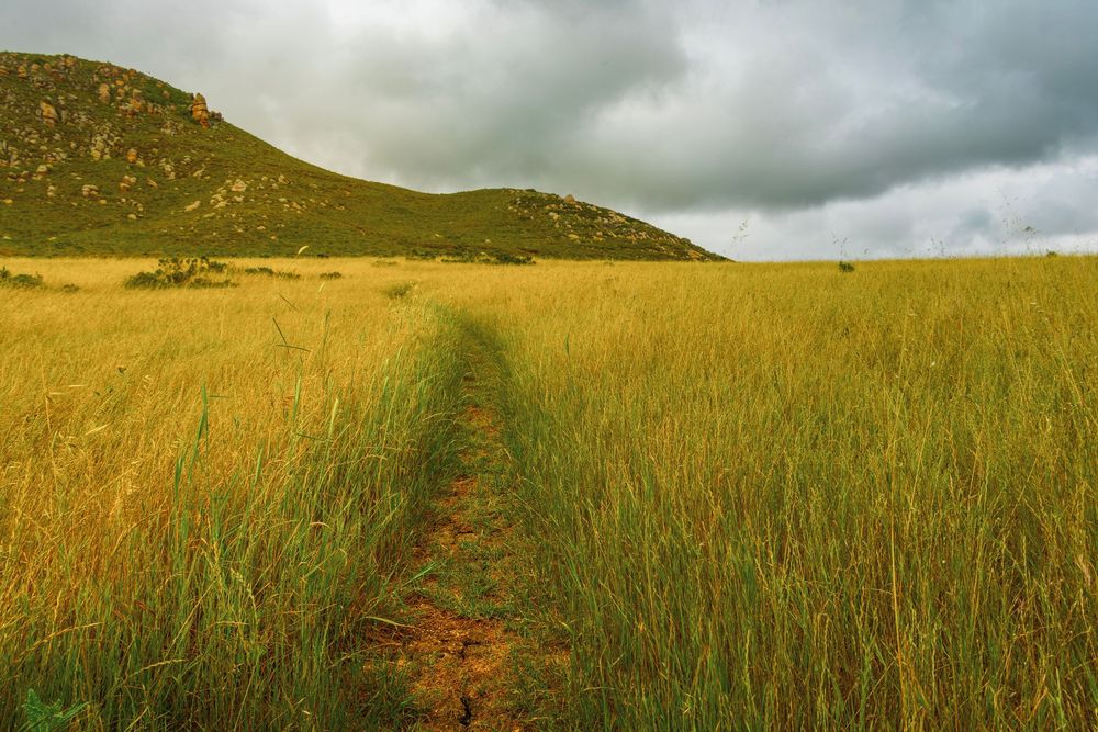
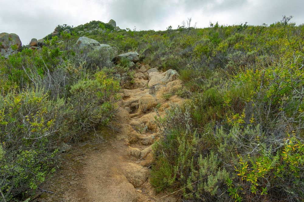
Cerro Cabrillo gets a bad rap because of trail erosion and a seriously technical scramble at the top (leading to big-payoff 360-degree views). But even if you stop this hike before the erosion begins, you’ll already have taken in a wonderfully close-up view of Hollister Peak. So if you’re wondering about the difficulty of the Cerro Cabrillo hike: It is easy to moderate for the bulk of the trail, and then fairly technical at the end.
CERRO CABRILLO - HIKER'S GUIDE
Peak Height: 911 ft
Park and Fee: Morro Bay State Park — Free
Hike Length: ~2.5 miles RT
Elevation Gain: ~900 ft
Difficulty: Moderate to Strenuous (technical scramble near summit)
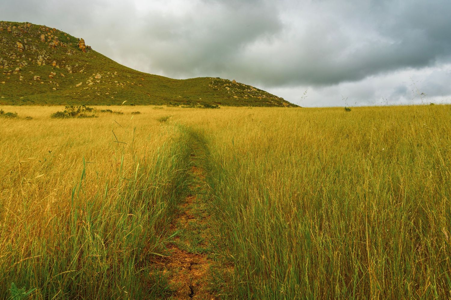
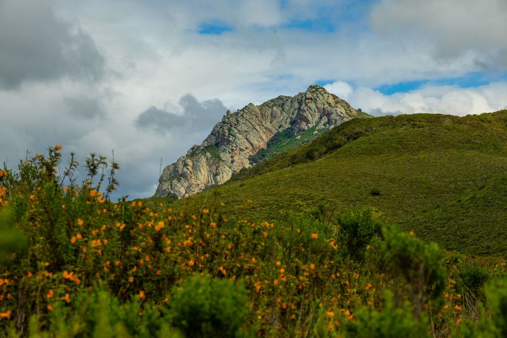
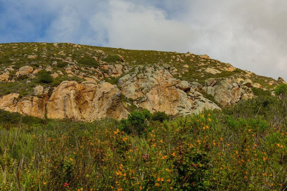
I hiked this in April 2026, and the sticky monkeyflower (yes, it’s really called that) shrubs were blossoming absolutely everywhere.
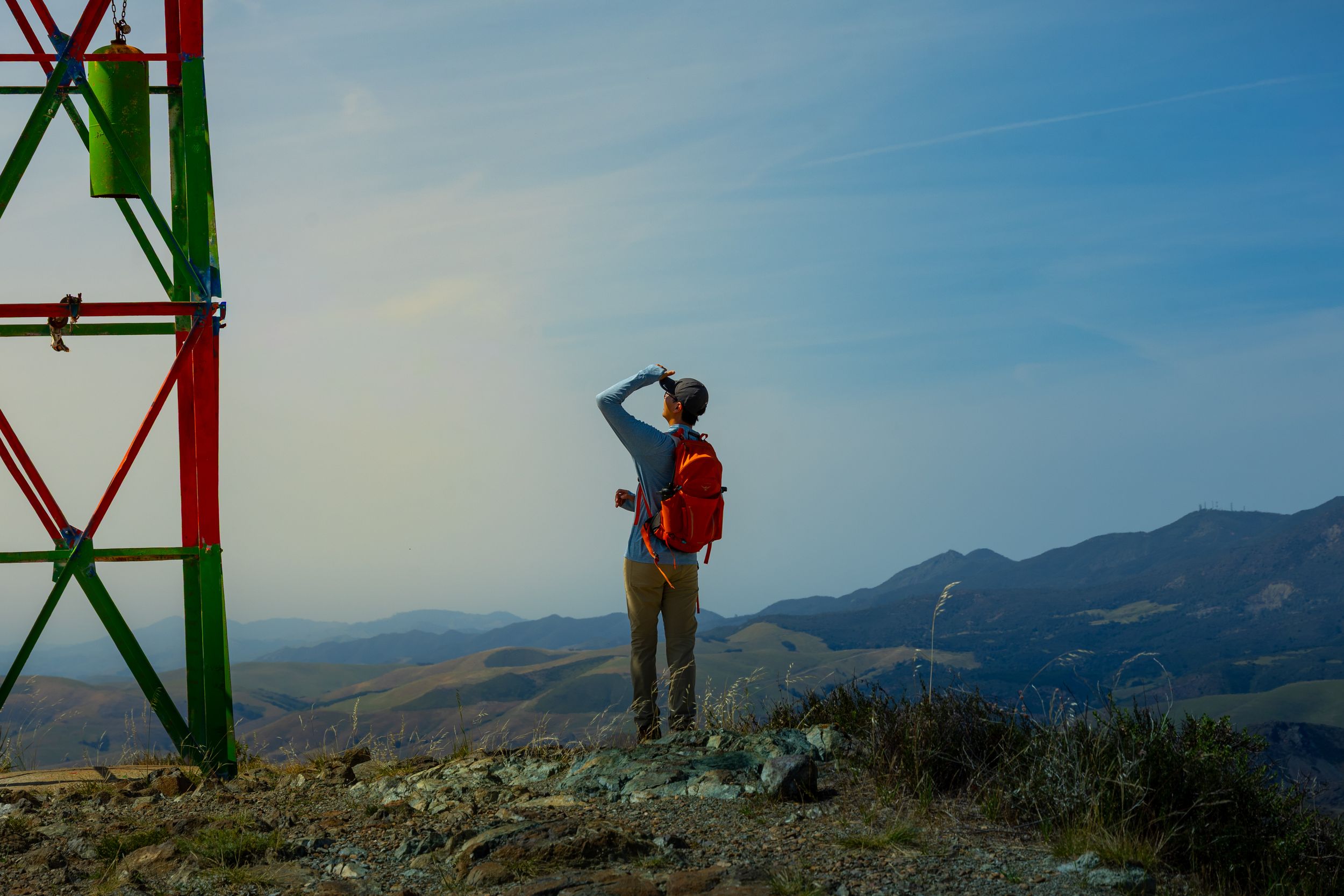
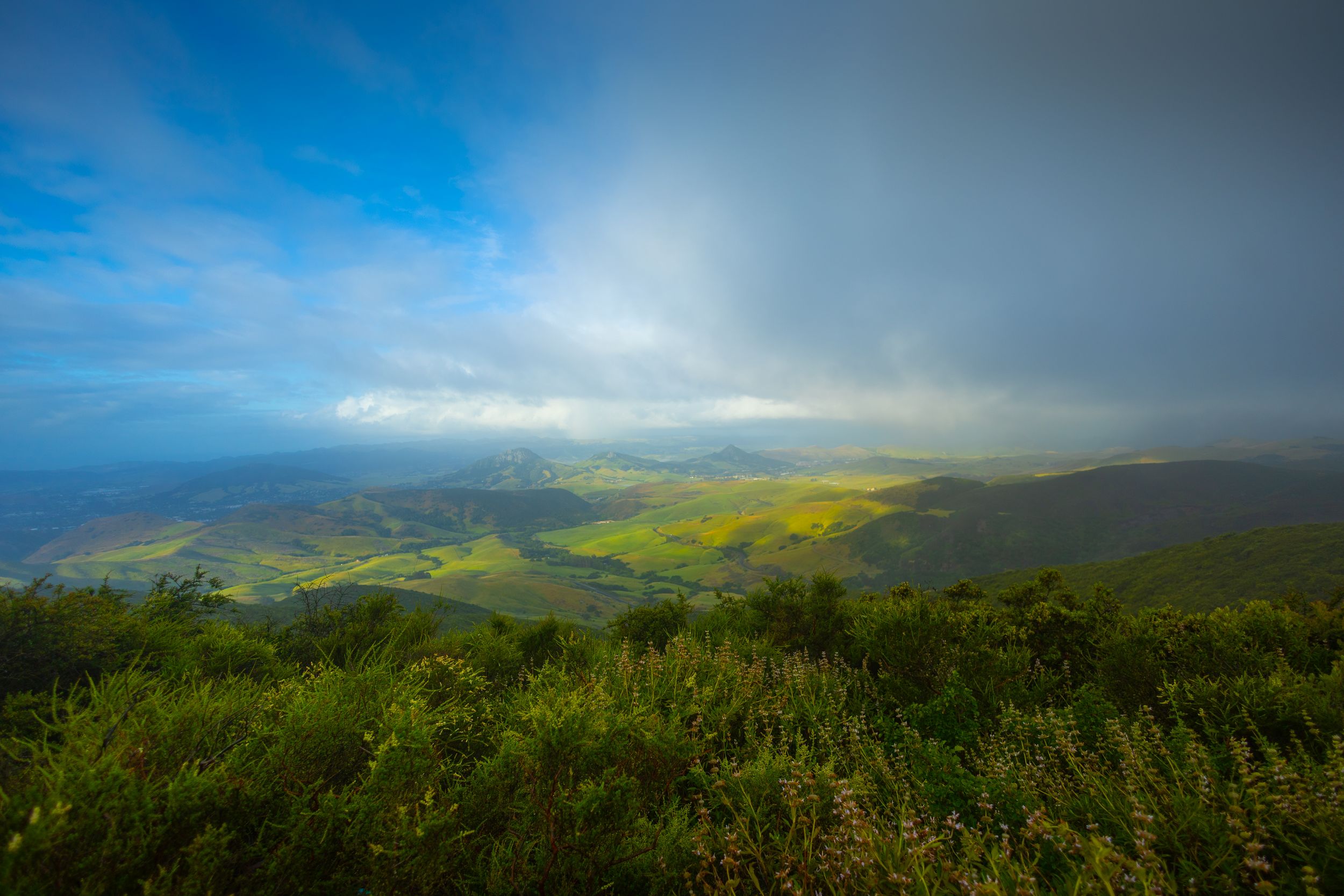
I checked the forecast before I started the hike. Zero percent chance of rain. But hiking in the Morro Bay area, you are inside the weather-making machine. It is not predictable, and the weather changes often, quickly, and dramatically. As I arrived at the very technical summit, the rain started. I knew the eroded terrain I’d ascended could easily become a river on my descent. So I high-tailed it out of there. On a clear day, that summit is a playground for a technical hiker. I would have loved to spend more time there.
Another peak extends to the east of Cabrillo Peak. That peak is generally recognized as part of the Cerro Cabrillo volcanic complex, connected to the main peak by a saddle. Bits like this make it more challenging to identify each morro from a distance.
Cerro Cabrillo is a short hike, and a particularly quick descent. By the time I got back to my car, the rain had passed, the sky was clear, and I'd settled into the Spanish pronunciation, kah-BREE-yoh. I was hungry for a next Morro hike. And I could see one very close by: Black Hill.
MORRO
Black Hill - The Sister You'll Introduce to Your Family
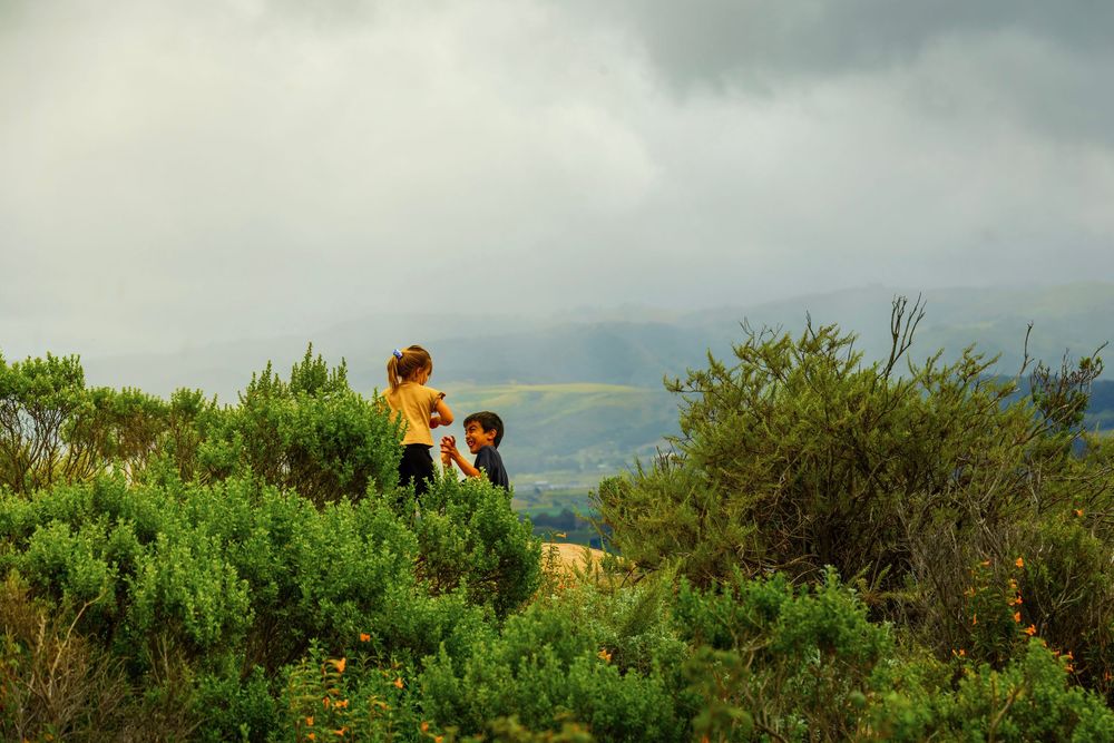
The most accessible of the sisters, Black Hill Trail (Morro Bay State Park) has multiple trailheads, including a short walk from a campground. It’s the easiest summit in the chain for families or those short on time, and arguably the best perch for watching the sun go down over Morro Rock and the bay. Dogs are welcome.
BLACK HILL - HIKER'S GUIDE
Peak Height: 665 ft
Park and Fee: Morro Bay State Park — Free
Hike Length: 0.6 miles RT (upper trailhead) / 2.6 miles RT (lower trailhead)
Elevation Gain: 190 ft (upper) / 620 ft (lower)
Difficulty: Easy to Moderate
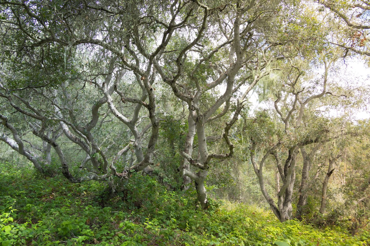
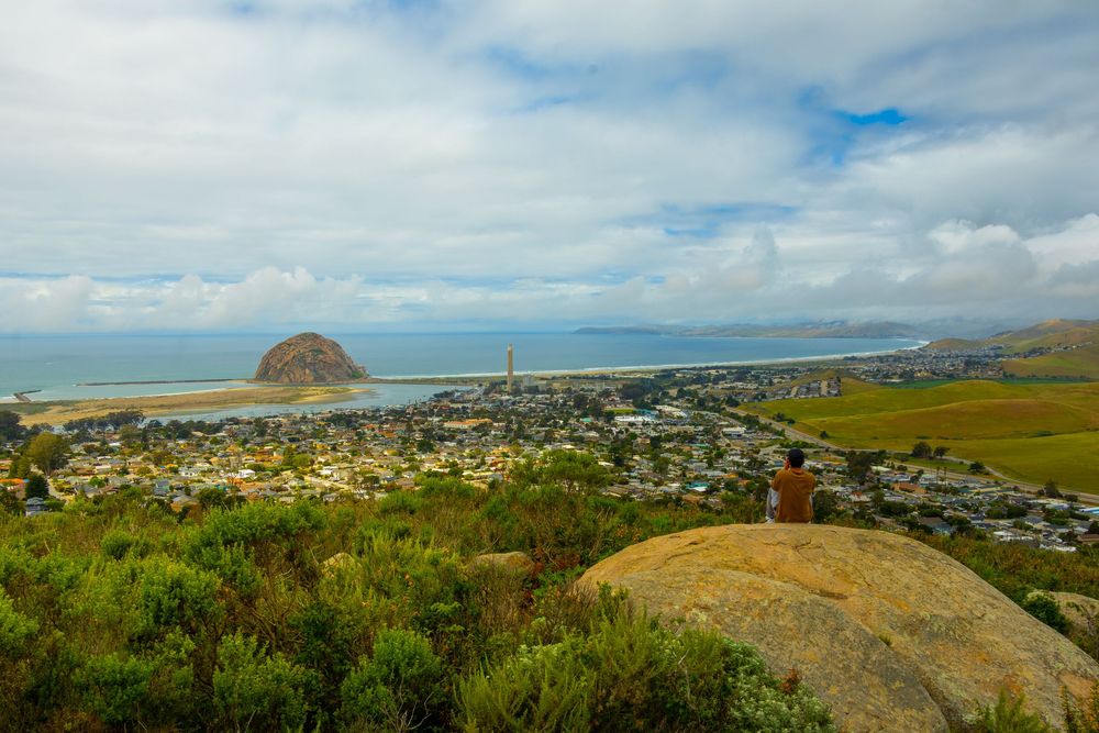
You can bypass the lower trailhead, but don't. The grove of Valley Oak trees with Spanish moss is worth the extra steps. These were some of the prettiest trees I’ve seen in the region. The whole trail felt charming, easy, and compelling. It was so different from the other hikes that I forgot where I was for a bit, and then I turned a corner on one of the gentle switchbacks—and there it was (drink!): Morro Rock. It’s everywhere.
MORRO
Morro Rock - The Famous Sister
Not a morro, but one of the best places to see them all. Irish Hills Natural Reserve sits southwest of downtown SLO, a 720-acre open space of serpentine rock, oak woodland, chaparral, and grassland. I was excited because I'd heard and read that The Prefumo Canyon Vista Point Trail would give me a vantage point to see all Nine Sisters.
MORRO ROCK - HIKER'S GUIDE
Peak Height: 576 ft
Park and Fee: Morro Rock State Beach — Free
Hike Length: There is no hike to the summit. Hike the 2.4 mile trail along Morro Bay and southern perimeter of Morro Rock.
Elevation Gain: 0 ft
Difficulty: Easy
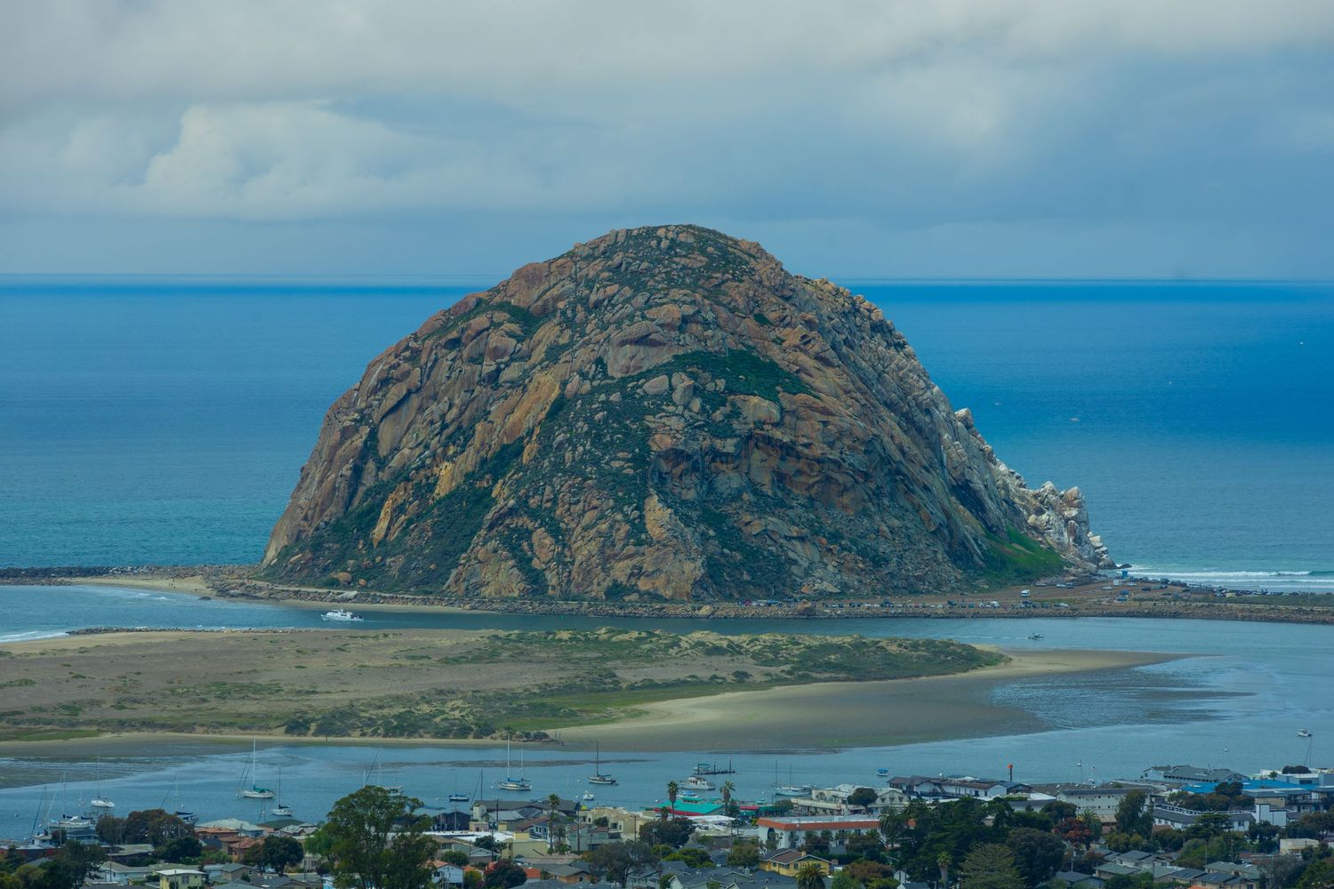
Morro Rock was known as Lisamu' to the Chumash people, who used it as a sacred site for vision quests and ceremonies; the Chumash and Salinan tribes retain special dispensation to perform ceremonies on the rock.
DATA:
Height: 576 ft (westernmost of the Nine Sisters)
Hikeable: No — protected wildlife sanctuary; public climbing strictly prohibited
Fee: None to access the surrounding beach and base
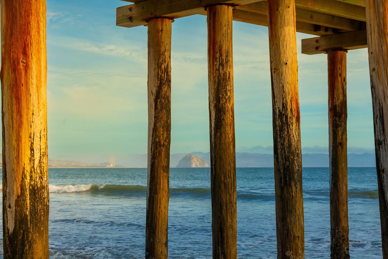
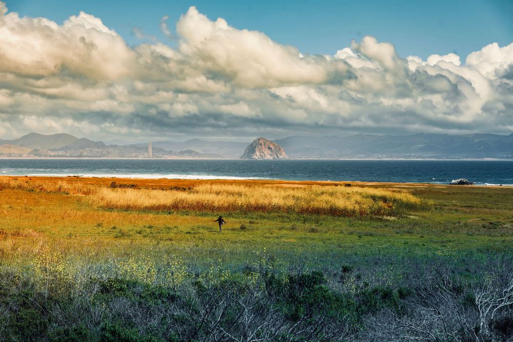
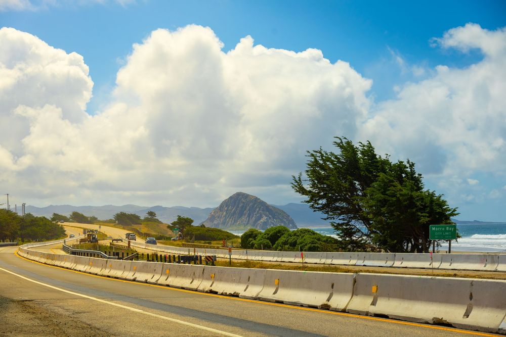
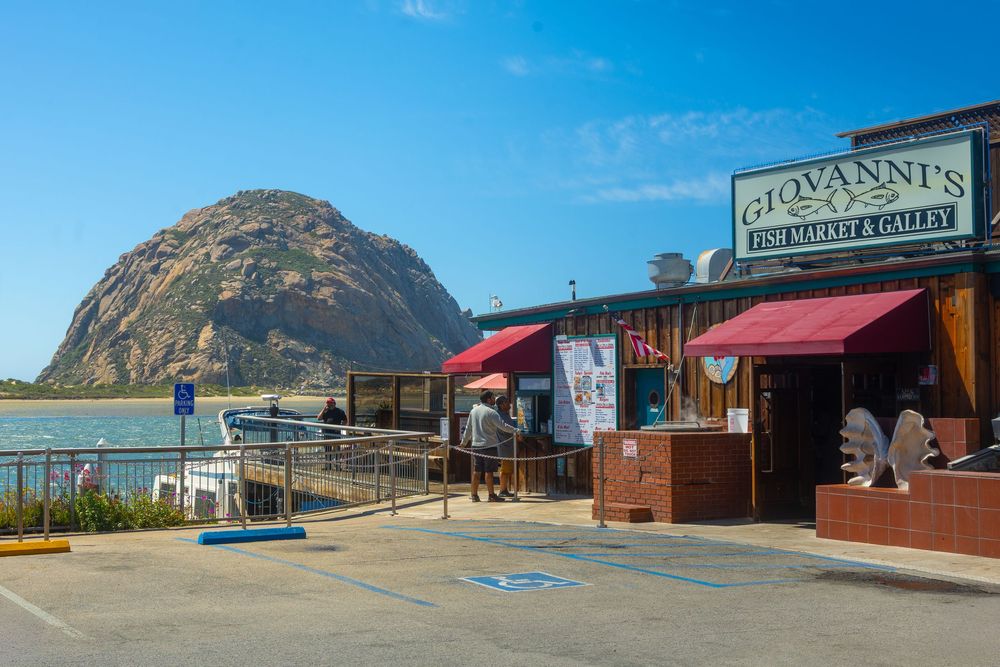
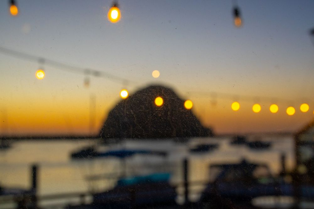
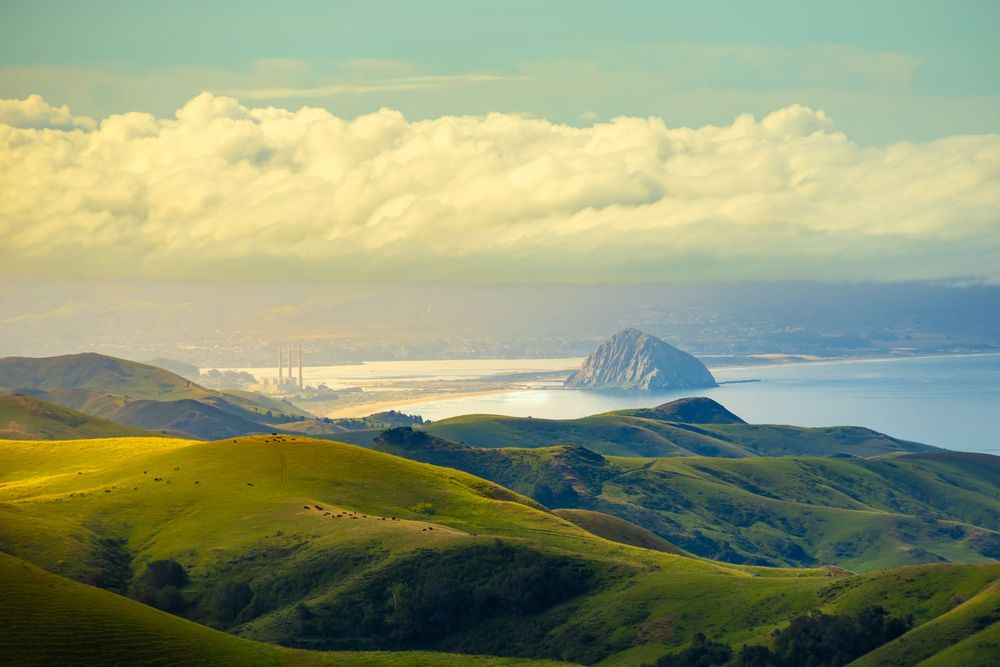
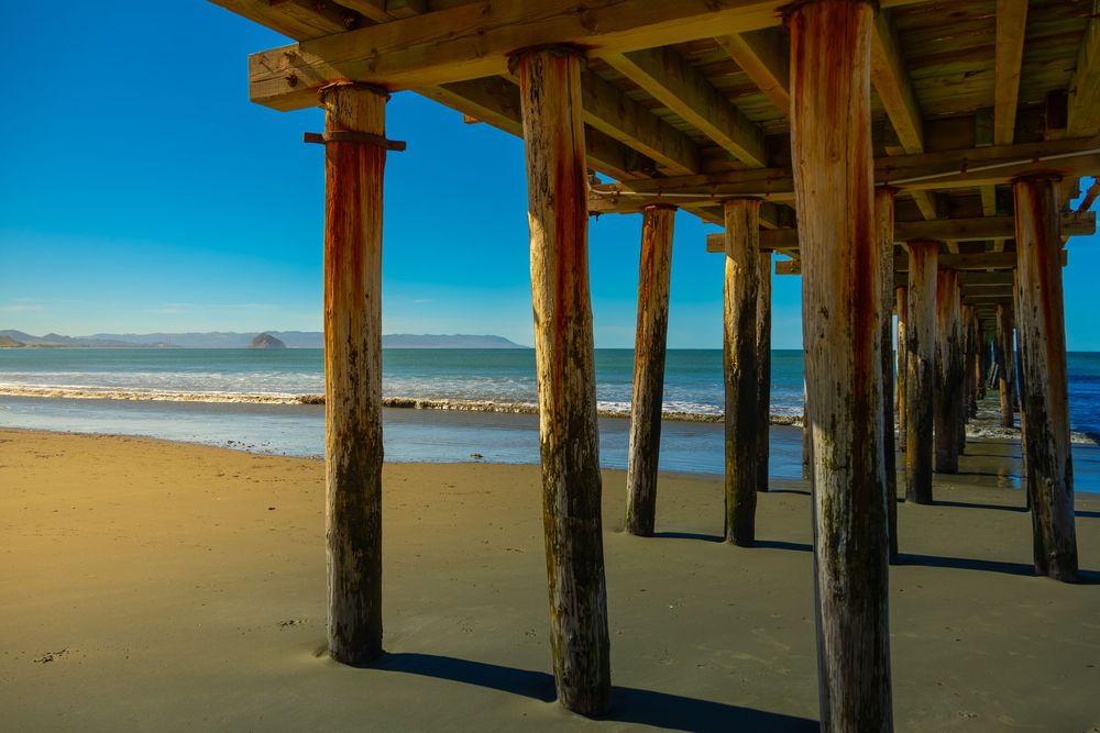
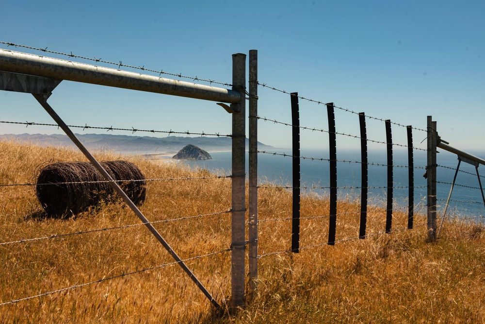
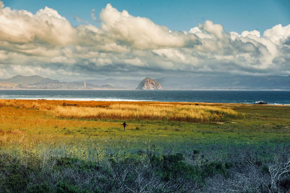
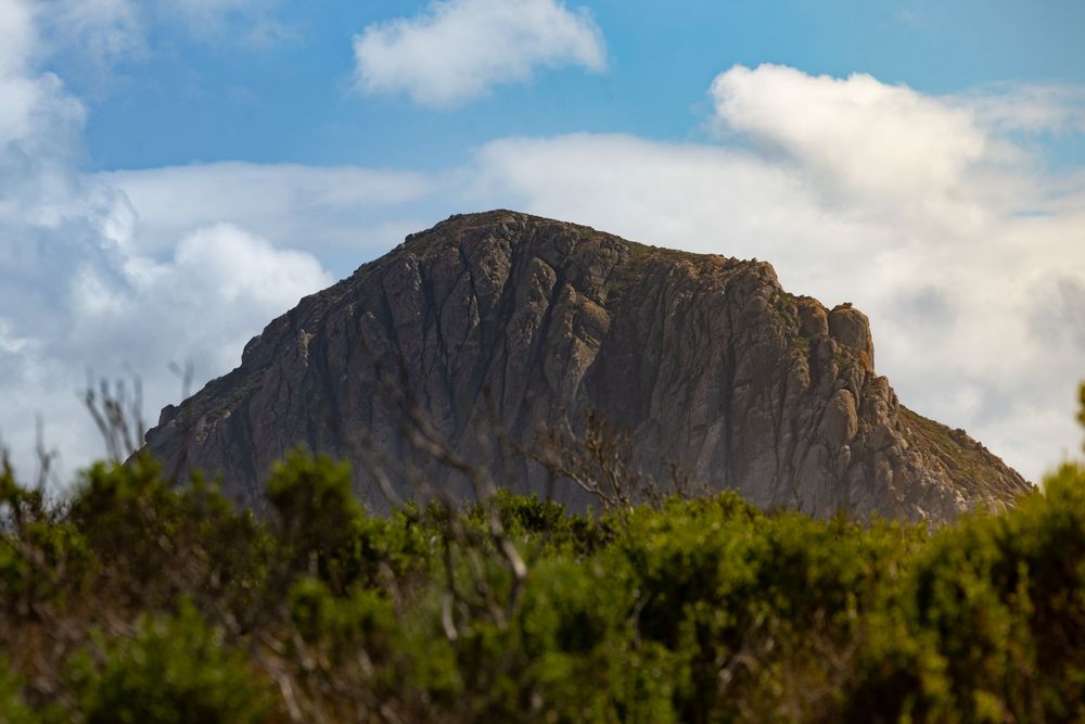
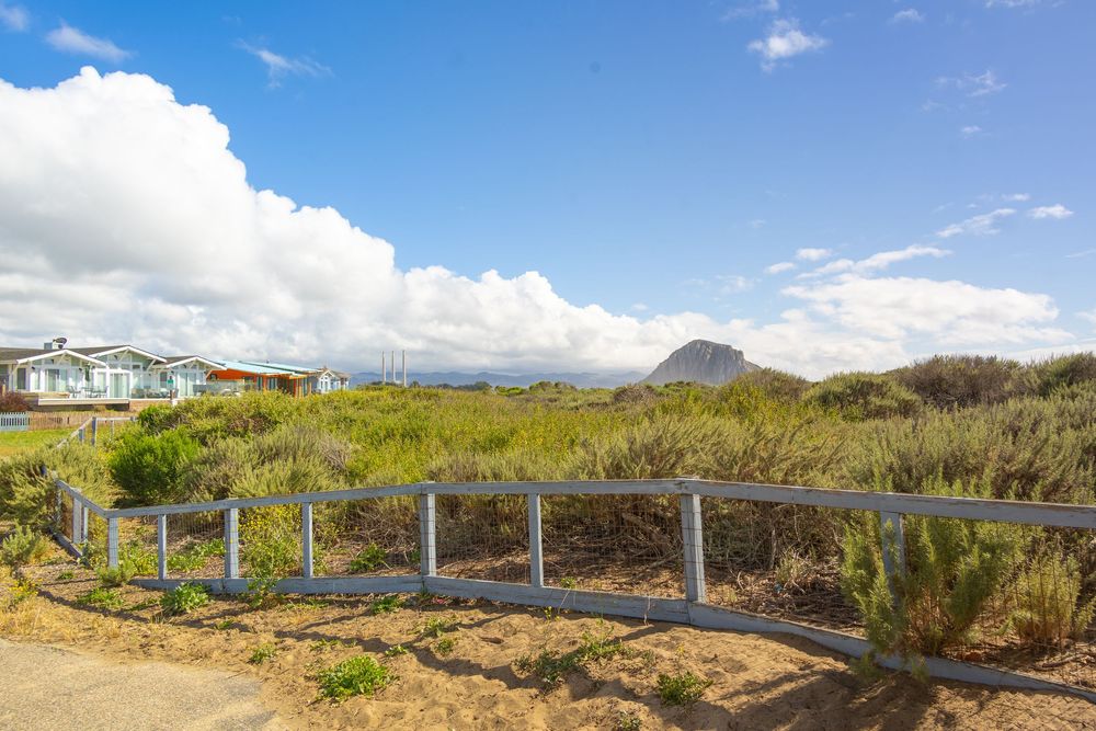
From pictures I’d seen online, I thought Morro Rock would be a lot like Haystack Rock in Oregon. It’s different. Morro Rock is more than twice the height. And where Haystack Rock is mostly a feature of the beach and surrounding town, Morro Rock (drink!) seems to be visible from a wild variety of vantage points. It’s the backdrop to neighborhoods, smoke stacks, a bay, a harbor, restaurants, a beach, dunes, a popular surf spot, and the huge rolling hills to the East.
The waves of the Pacific Ocean crash right into Morro Rock on the west and north sides, while the calm waters of the bay serve as the backdrop to restaurants along The Embarcadero to the east. Morro Strand Beach hosts surfers and family picnics to the immediate north. And Morro Rock Jetty Beach lies inside the harbor entrance to the immediate south.
I’ve never taken so many photos of a single rock.
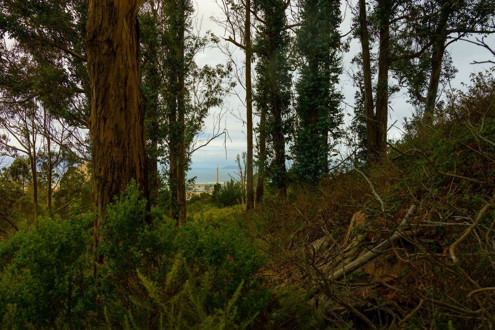
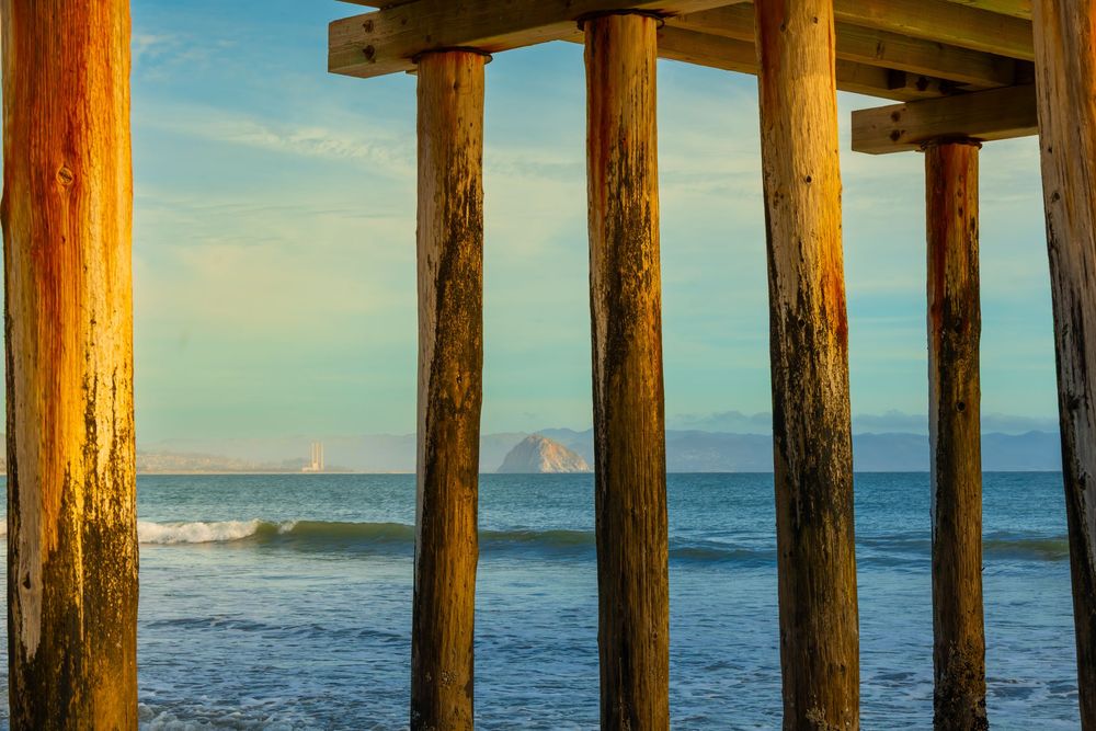
The three smokestacks standing next to Morro Rock are 450-foot-tall remnants of a Pacific Gas & Electric power plant built in the 1950s — so tall they actually dwarf Morro Rock. The plant shut down in 2014. The Morro Bay City Council voted to demolish the stacks, with removal scheduled by the end of 2027. I took a few photos of those for the historic record.
I know what you’re wondering: Can you climb Morro Rock? Definitely not. Climbing is illegal for the public. The rock is a protected peregrine falcon nesting site.
But you can walk right up to its base from the beach. And I promise you, if you hike the other morros, you will feel like you had a full Morro Rock experience. It’s just everywhere.
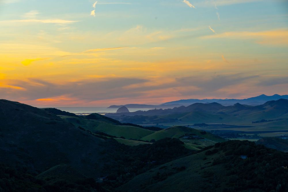
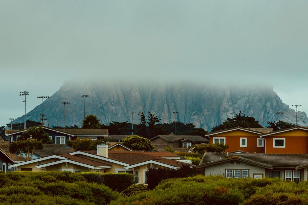
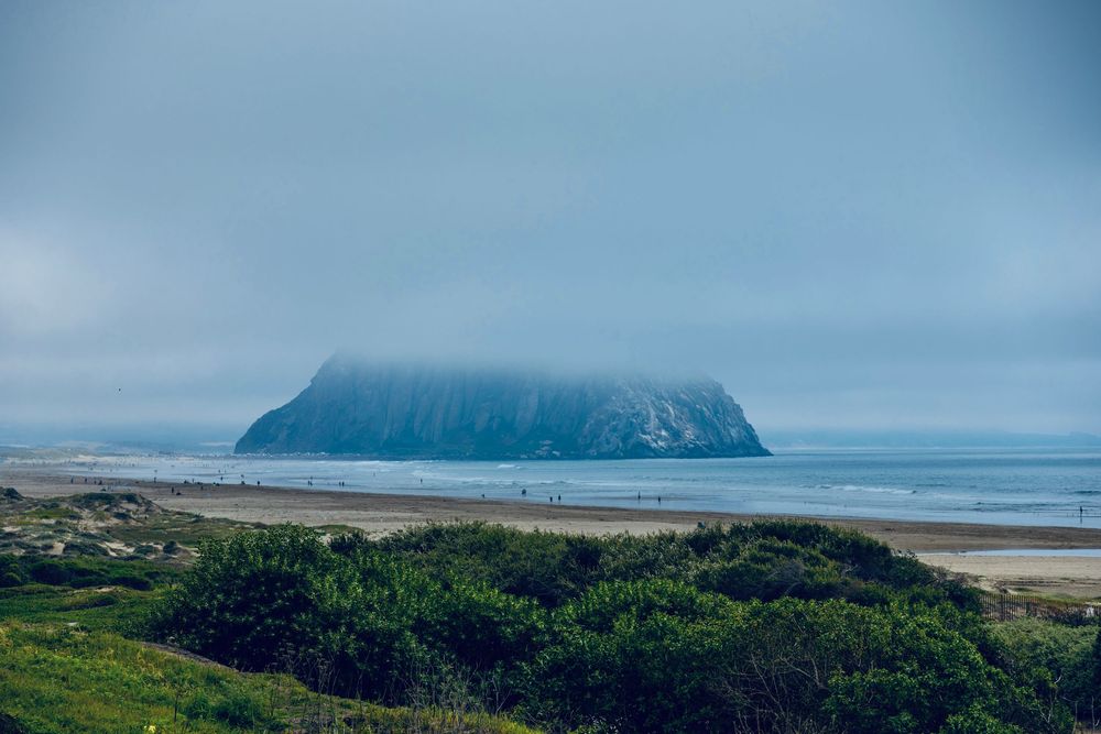
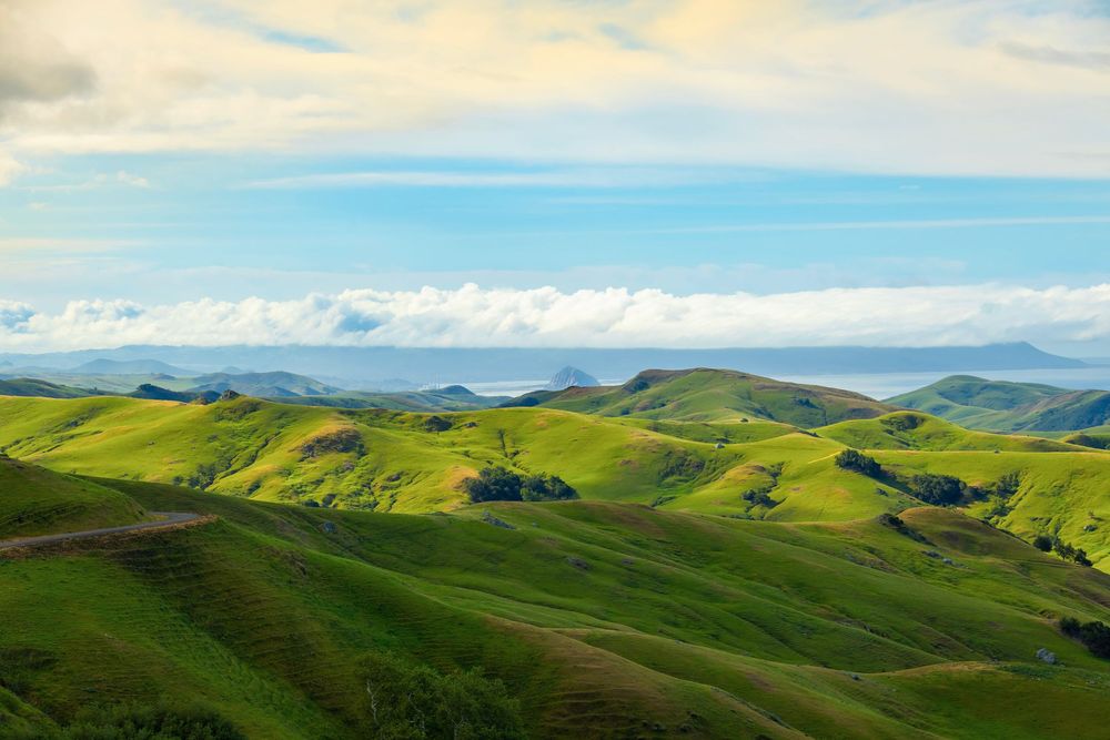
The Morro Challenge!
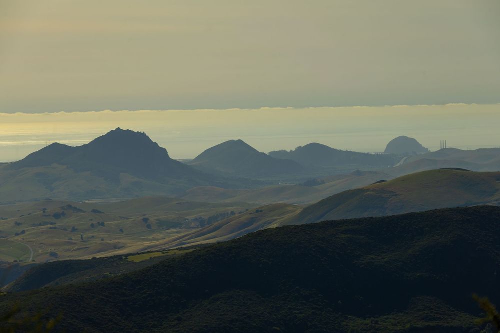
I could see it in your eyes. As soon as I mentioned 15 total miles of hiking, you started wondering if you could tackle all of that in one glorious day of hiking. You’ve already branded it The Morro Challenge! Deep breath, calm down, let me think... Okay, yes. I do think it’s possible—reasonable even.
Take in a big breakfast in SLO and get your caffeine fix with the local college students at Scout Coffee. The Islay Hill hike will make a good warmup while you’re still waking up. And you’ll get to the longer hikes (Cerro San Luis and Bishop Peak) while your legs are still fresh. You’ll still be near SLO City at that point if you want lunch before driving west toward Cerro Cabrillo. Hit the Black Hill summit last and you’ll end the day standing above Morro Bay watching the sun go down over Morro Rock (drink!). And if you want a drink for real, Three Stacks and a Rock Brewing Company in Morro Bay is a perfect spot to end the day.
But that’s not what I did. I took on what, to me, was an even more exciting and ambitious adventure—starting with the SLO city morro hikes (Part 1); extending to the surrounding mountain ranges for hikes, camping, and roadside viewpoints (Part 2); exploring The Forbidden Morros (Part 3), and finishing with the Morro Bay hikes (Part 4).
It was a satisfying adventure. Through the research, driving, hiking, camping, writing, and photo editing, I'd formed a deep connection with this region, and I wanted a denouement for a story I'd been immersed in for weeks.
DENOUEMENT
Morro Strand State Beach
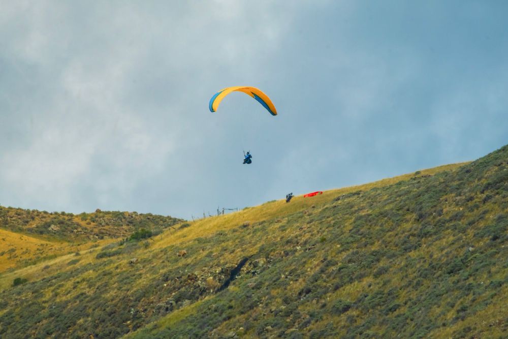
I finished my exploration of The Nine Sisters and continued my drive along Morro Bay. Paragliders soared above me and my CR-V. They’d launched from the rolling hills east of Route 1, and the breeze repeatedly carried them above the road and neighborhoods below, out over the ocean, and then back to their launch points. Gravity seemed lost on them.
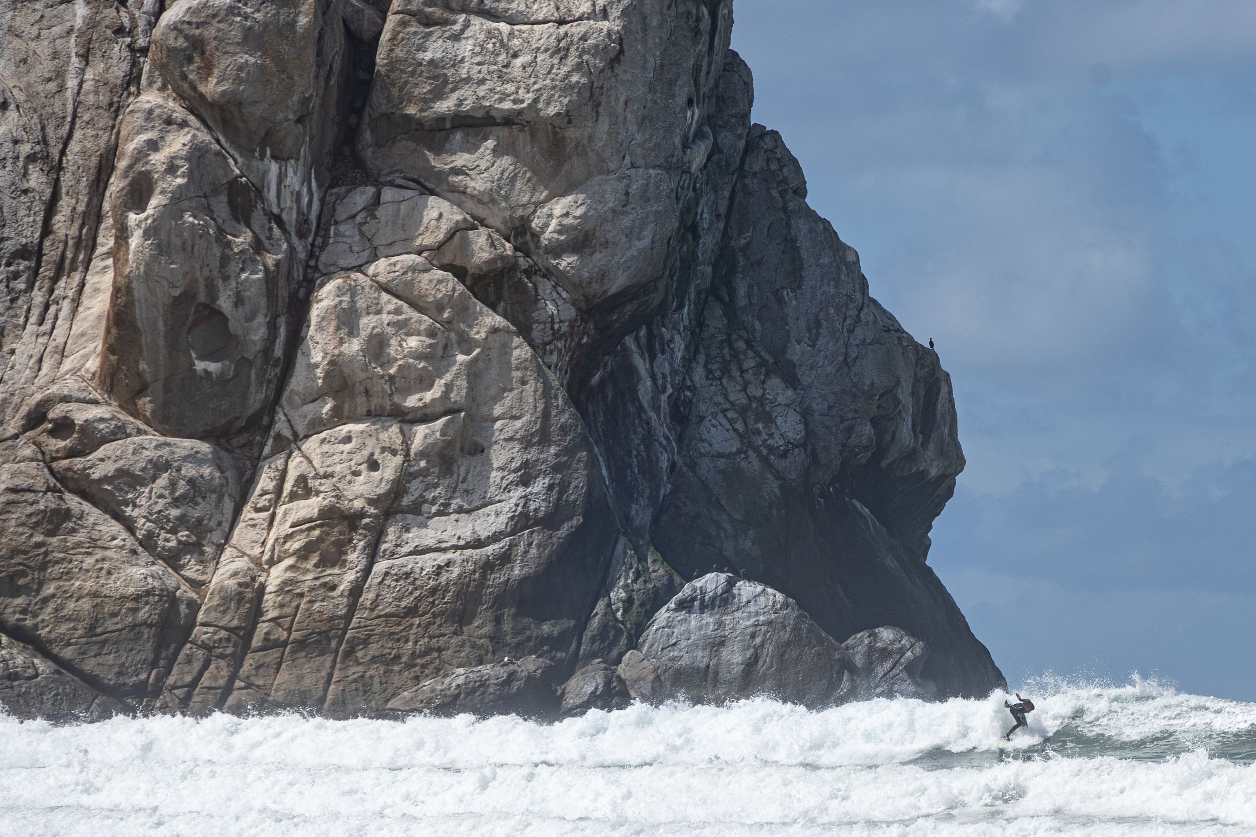
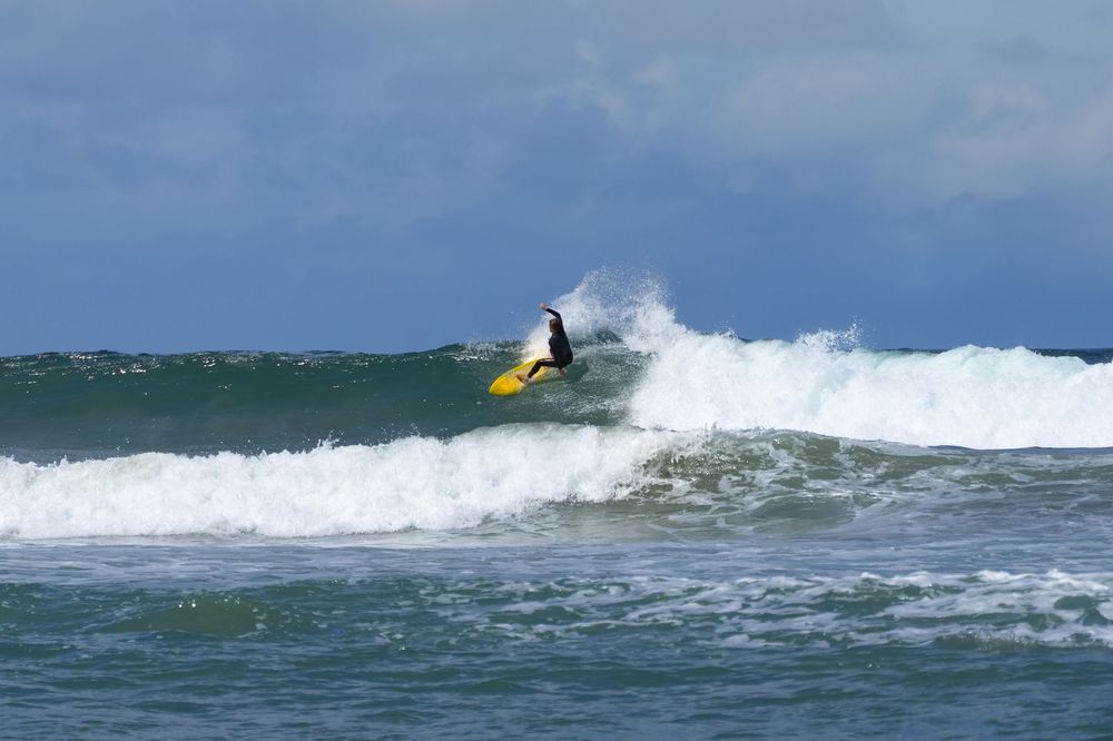
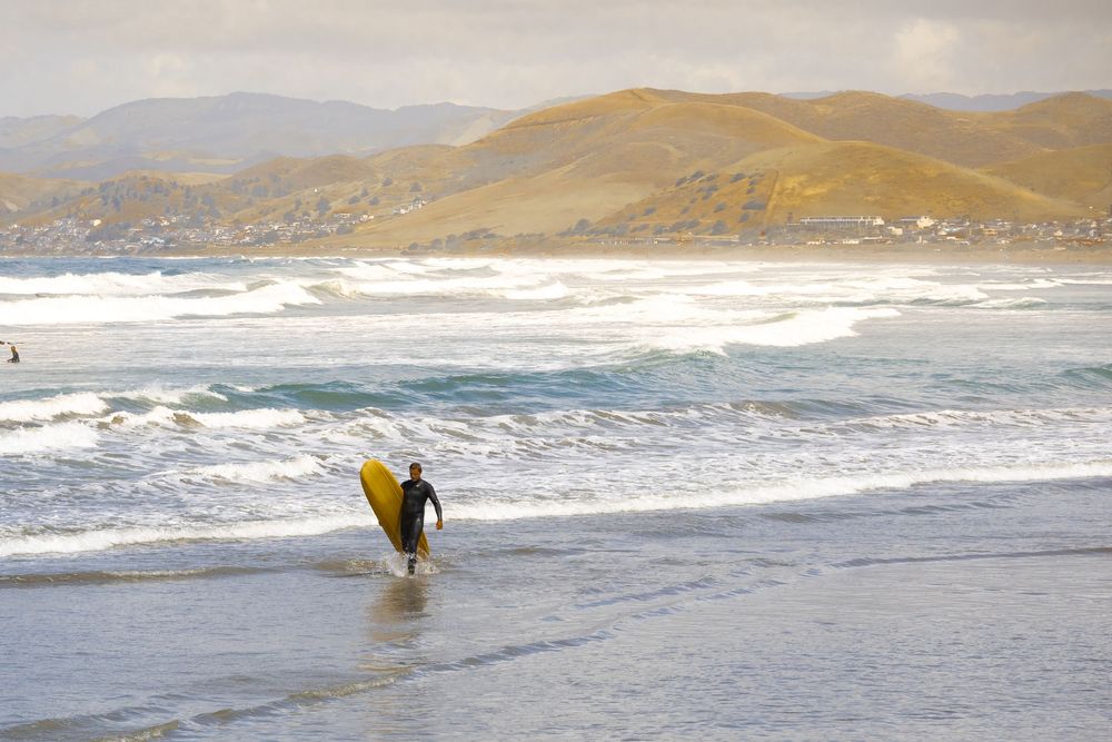
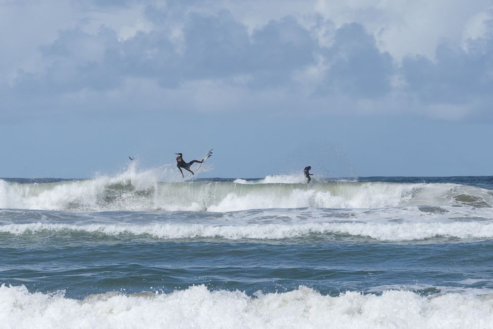
On a whim, I decided to stop at Morro Strand State Beach for one last look at Morro Rock up close. The 576-foot volcanic rock juts into the ocean, allowing it to act as a natural, large-scale jetty that creates consistent, year-round waves. For surfers, this sets up powerful snaps and cutbacks, shaka-inspiring maneuvers, and occasional barrels.
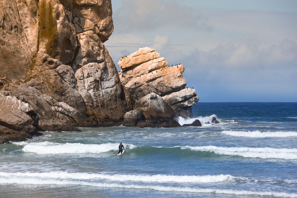
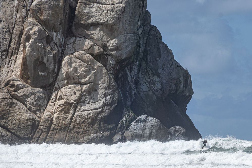
Conditions were excellent, and hundreds of surfers were rocketing over layers of waves. They seemed absolutely fearless doing this under the massive shadow of Morro Rock.
I wondered: Do they understand this is one of the oldest and densest rocks in the country? Have they seen how gorgeous it looks from Green Valley Viewing Point? Do they know this massive rock is the denouement at the end of a story nature wrote 23 million years ago?
I’ve been reading it voraciously all week — like some epic page-turner—and I want to recommend it to my friends — to these strangers even!
I'd better write an article.
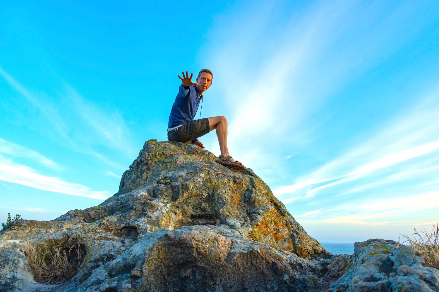
This article and all photos herein: © Brian Gundersdorf, 2026. All rights reserved. For licensing or partnership inquiries, contact Brian Gundersdorf.
About The Author:
Brian Gundersdorf is a creative director and brand journalist on a solo cross-country journey documenting America's landscapes, trails, and coastlines by car, boot, camera, and blog. He's looking for the outdoor brand or agency partner that wants to make this journey theirs.
When he isn't hiking volcanic peaks in the rain, Brian serves as creative director at Bruck Marketing. He's spent 25 years producing brand identity, graphic design, photography, digital products, and messaging strategy for brands from Fortune 100 companies to scrappy startups.
PORTFOLIO: www.dreamtup.com/portfolio