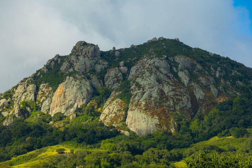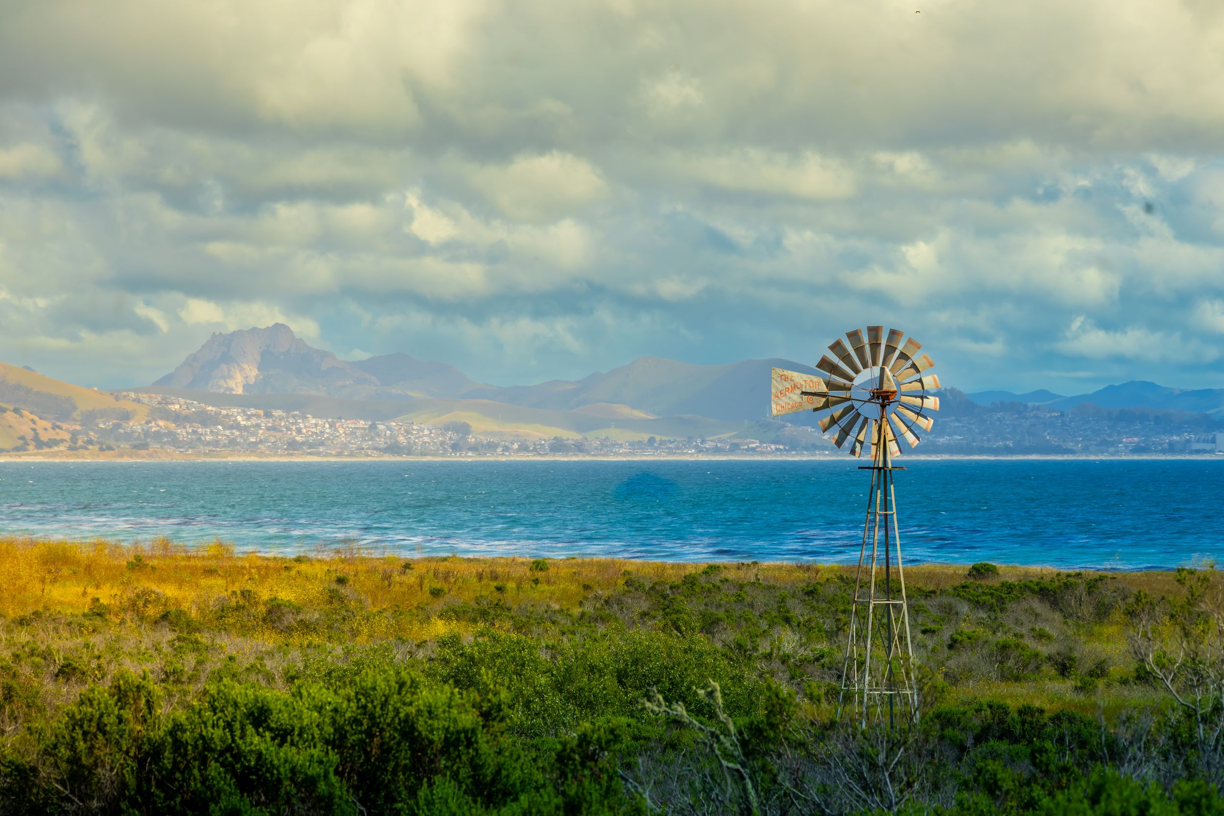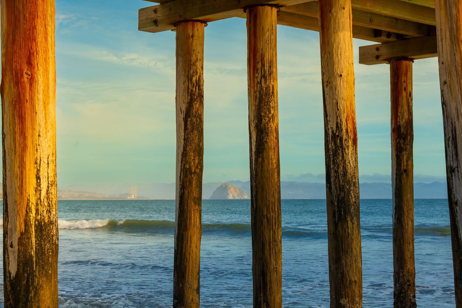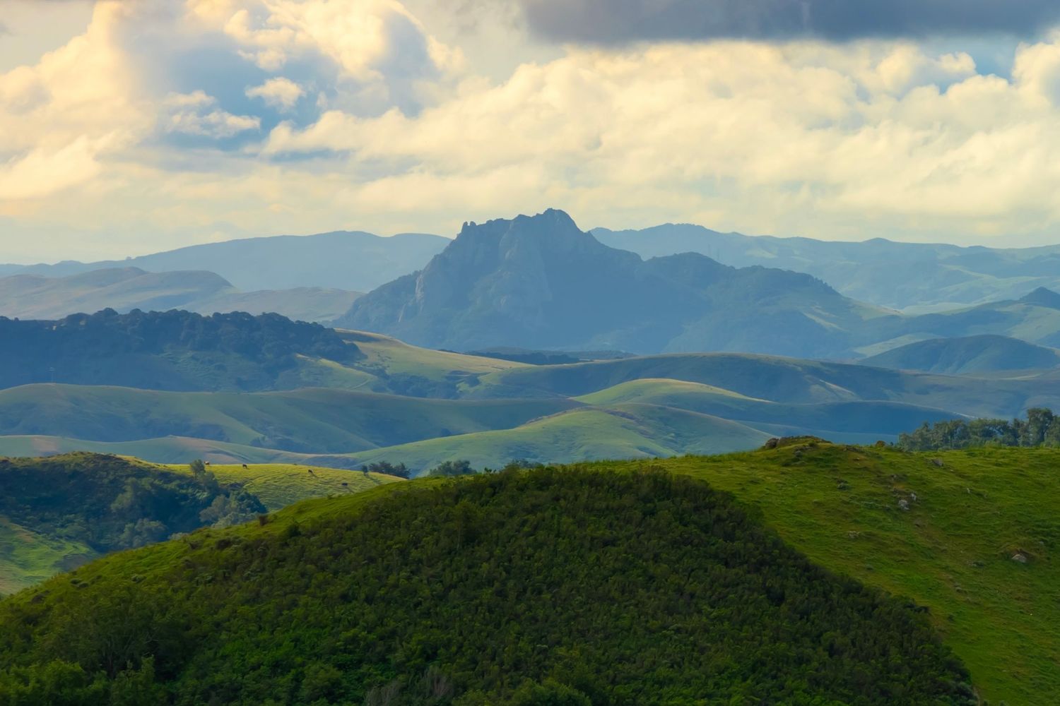
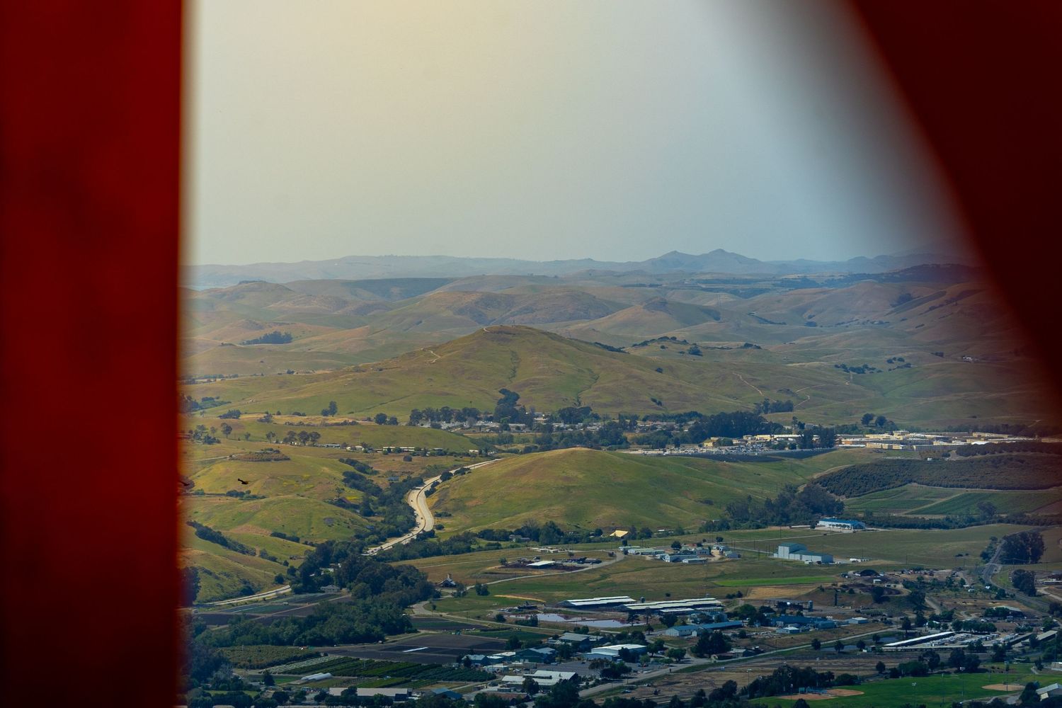
One day, if you’re lucky, you’ll drive Cabrillo Highway along Morro Bay and see Hollister Peak off the side of the road. If you're like me, you'll exclaim, 'How do I hike that!?' And you’ll risk your life trying (in vain) to find it on AllTrails while driving.
Maybe this article will save your life.
THE CITY IS THE TRAILHEAD
Hollister Peak is one of the Nine Sisters, a series of morros (volcanic plugs) nestled in the wonderfully eclectic county of San Luis Obispo (SLO).
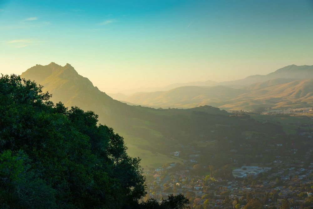
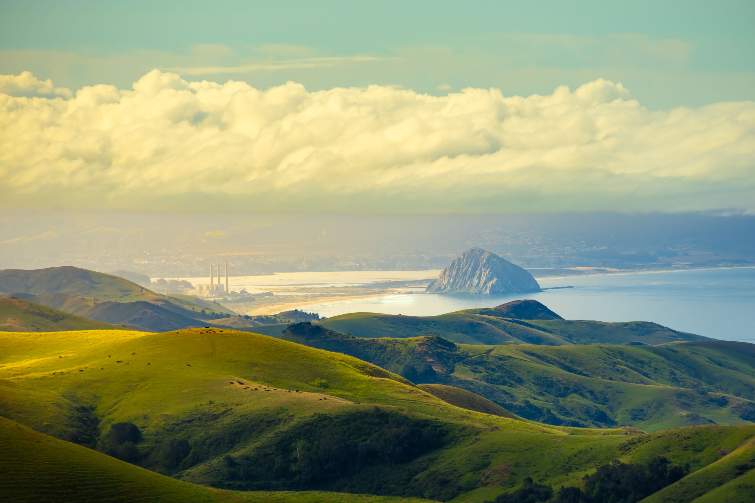
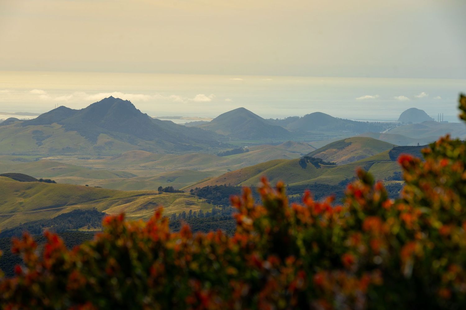
The Nine Sisters are flanked by the Pacific Ocean, the Santa Lucia Mountains, and The Irish Hills.
But they aren't in some remote natural preserve. The city is the trailhead. Locals run them before work. Visitors stumble onto trailheads between lunch and wine tasting.
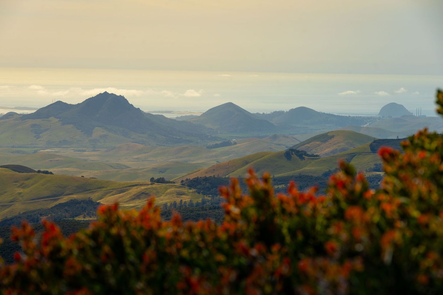
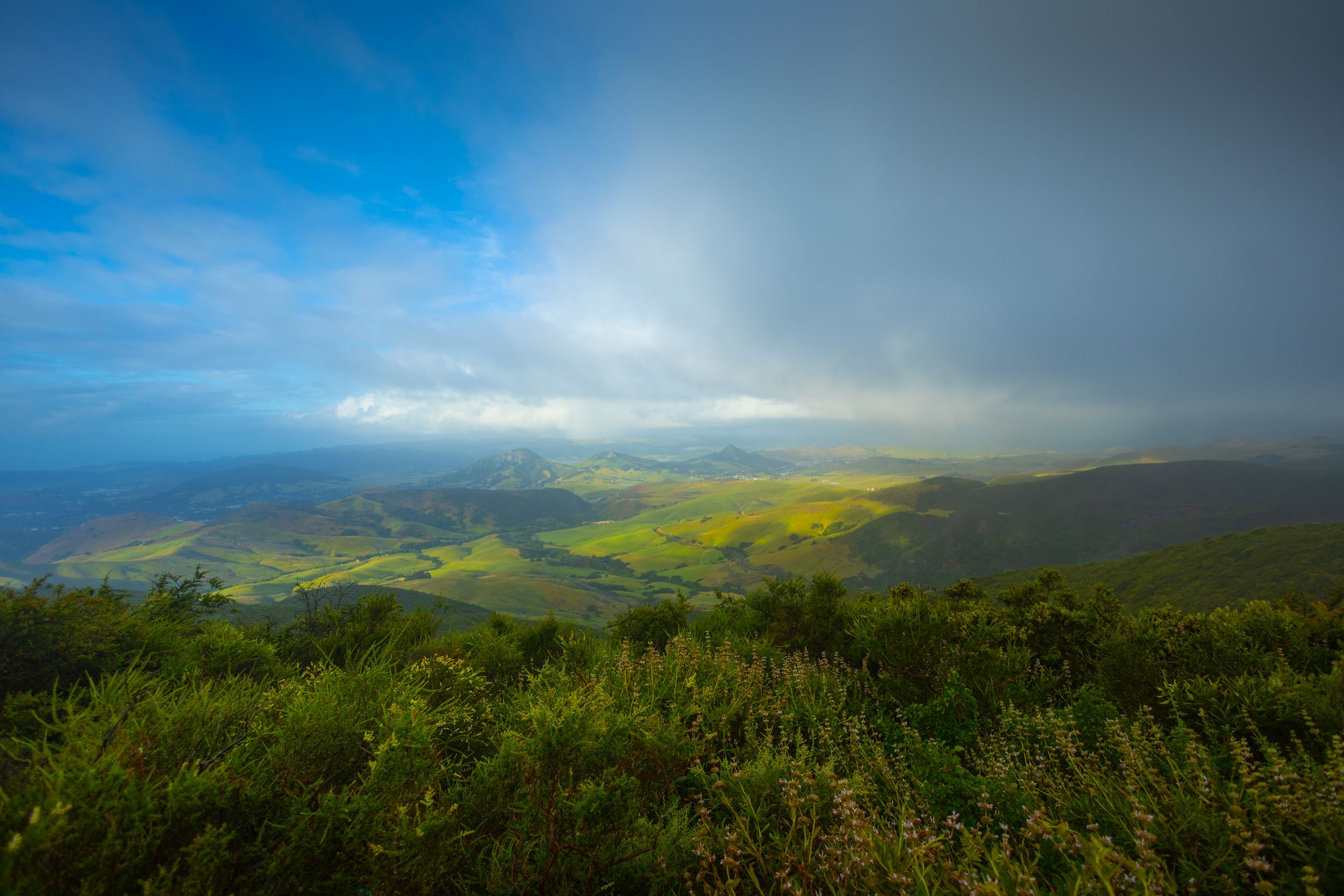
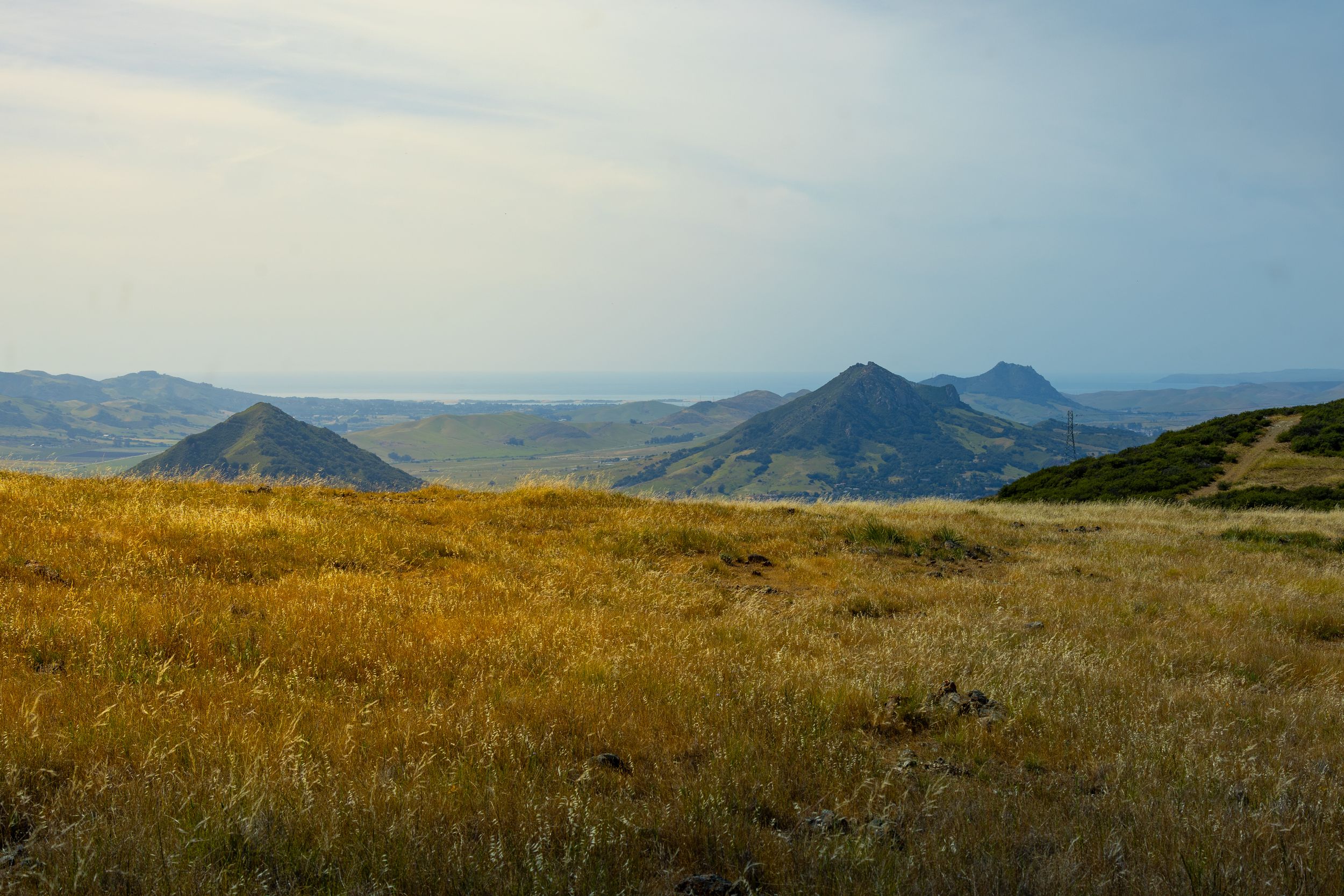
Of the Nine Sisters, five offer free public hiking to legit summits with stunning 360-degree views. And the surrounding mountains are also rich with hiking, camping, and overlooks of the morros, downtown SLO, beaches, and the ocean. This month, I hiked all five of the publicly accessible sisters, explored all nine, hiked and camped in the mountains, and found the best spots to view (and photograph) the morros. And I took hundreds of photographs.
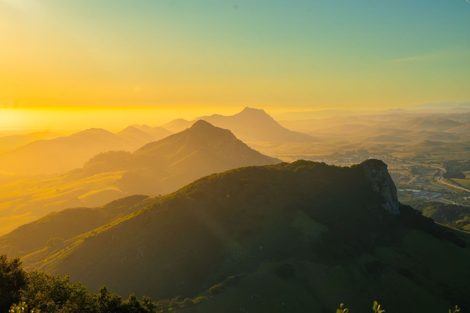
In this four-part series of articles, I’ll share my experiences with the Nine Sisters of SLO, help you optimize yours, and explain what a volcanic plug is. I’m handing out history, geology, warnings, AllTrails links, recommended routes, and overlooks like candy. I’ll show you photos of the Nine Sisters from every angle—under dramatic clouds, with clouds forming underneath them, glowing in a fog storm, backlit during sunset, and bedazzled with a vivid rainbow.
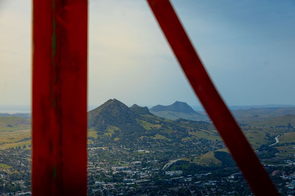
THE GEOLOGY
What The Heck is a Volcanic Plug?
The Nine Sisters formed about 23 million years ago during the Miocene epoch, when magma forced its way upward through softer sedimentary layers. That magma cooled underground into dense dacite, while wind and water slowly stripped away the weaker material above it. What’s left today are the exposed volcanic cores rising from the coastal plain.
A "volcanic plug" is exactly this: magma that hardened inside a vent while the surrounding rock eroded away. It’s not the cone of a classic erupting volcano — it’s the fossil of one, preserved in place while everything around it vanished. These cores are some of the oldest, hardest rock in the county.
There are actually twenty-one of these peaks, and these nine get all the glory. So, forgive people if they sometimes refer to the 'Seven Sisters' or the 'Five Sisters.' From a purely geological perspective, all of these numbers are misleading.
The Morro Challenge - From Northeast to Southwest
The SLO City Sisters
- Islay Hill — 775 ft
- Cerro San Luis — 1,292 ft
- Bishop Peak — 1,559 ft
The Forbidden Sisters
- Chumash Peak — 1,257 ft
- Cerro Romualdo — 1,306 ft
- Hollister Peak — 1,404 ft
The Morro Bay Sisters
- Cerro Cabrillo — 911 ft
- Black Hill — 665 ft
- Morro Rock — 576 ft
That's the sequential order from northeast to southwest. But, like most hikers, I took on the SLO City Sisters in the reverse order, starting with Bishop Peak.


PART 1
The Hikeable Morros of SLO City: Bishop Peak, Cerro San Luis, and Islay Hill
MORRO
Bishop Peak - The Tallest Sister
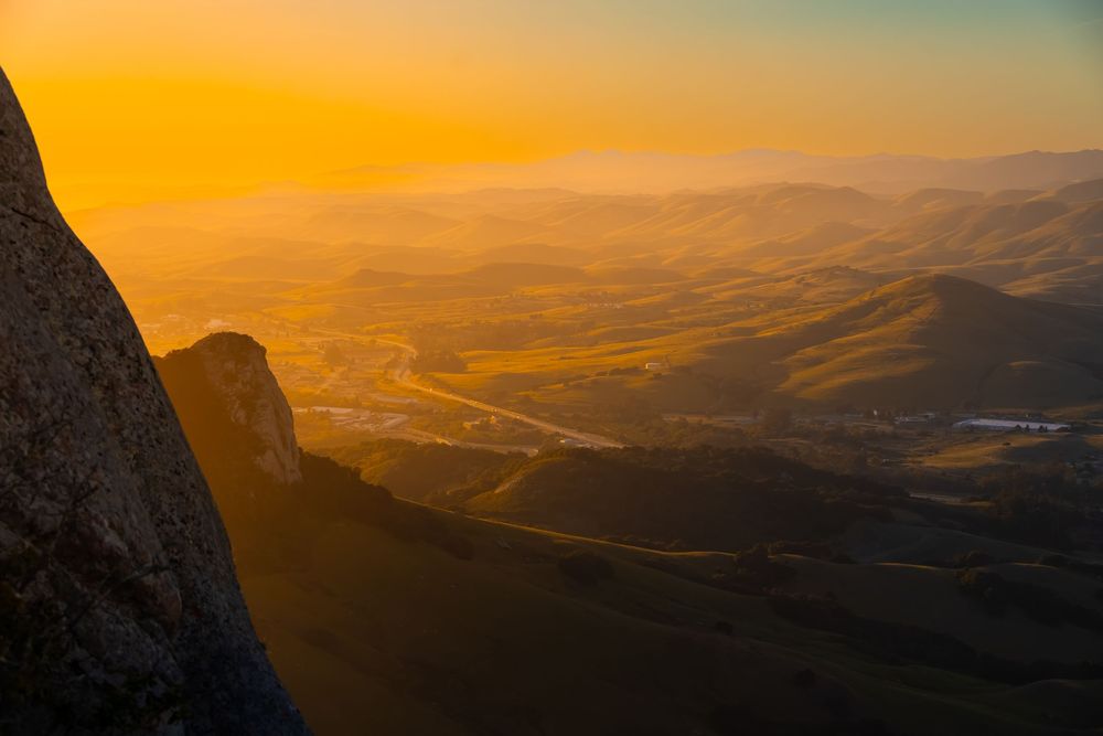
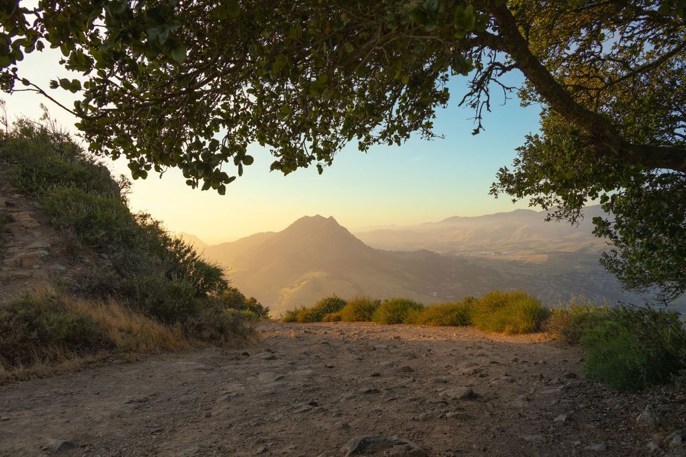
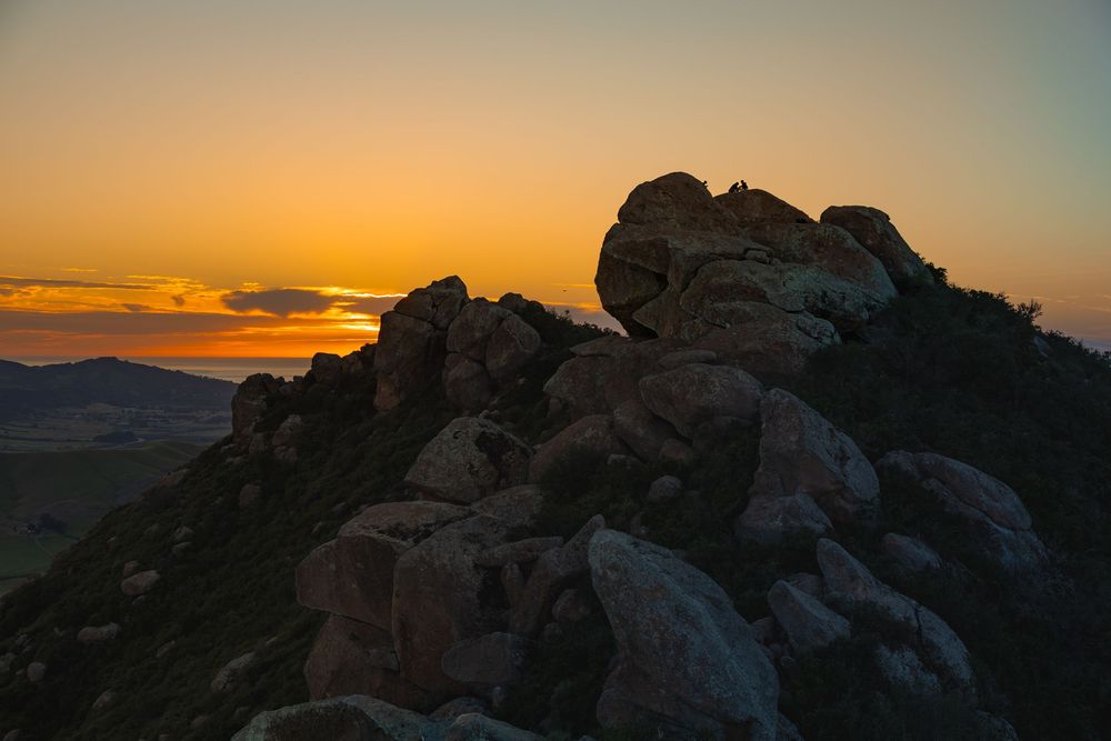
Bishop Peak's triple-pronged summit (named for its resemblance to a bishop's miter) requires some satisfying scrambling over large boulders near the top. At sunset, the massive views from the peak are often cast in an otherworldly golden haze.
BISHOP PEAK - HIKER'S GUIDE
Peak Height: 1,559 ft
Park and Fee: Bishop Peak Natural Reserve — Free
Hike Length: 3.3 Miles Round Trip
Elevation Gain: ~900 ft
Difficulty: Moderate to Strenuous
Bishop Peak is the most popular trail in the area by a significant margin. Everything I read said, “If you’re going to hike one morro, this is the one.” So this is where I started.
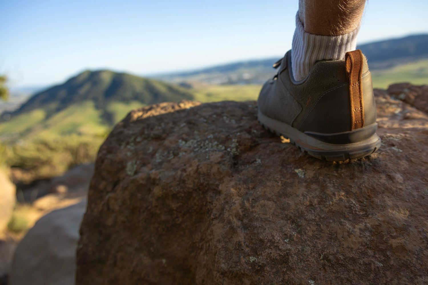
There are two trailhead options. I parked at the Highland Drive trailhead. Highland Drive is a neighborhood street, not a parking lot. So I sheepishly asked a local homeowner to confirm it's okay to park there. SLO locals and visitors tend to be wonderfully social. So, the next thing I knew we were wrapped in a friendly conversation.
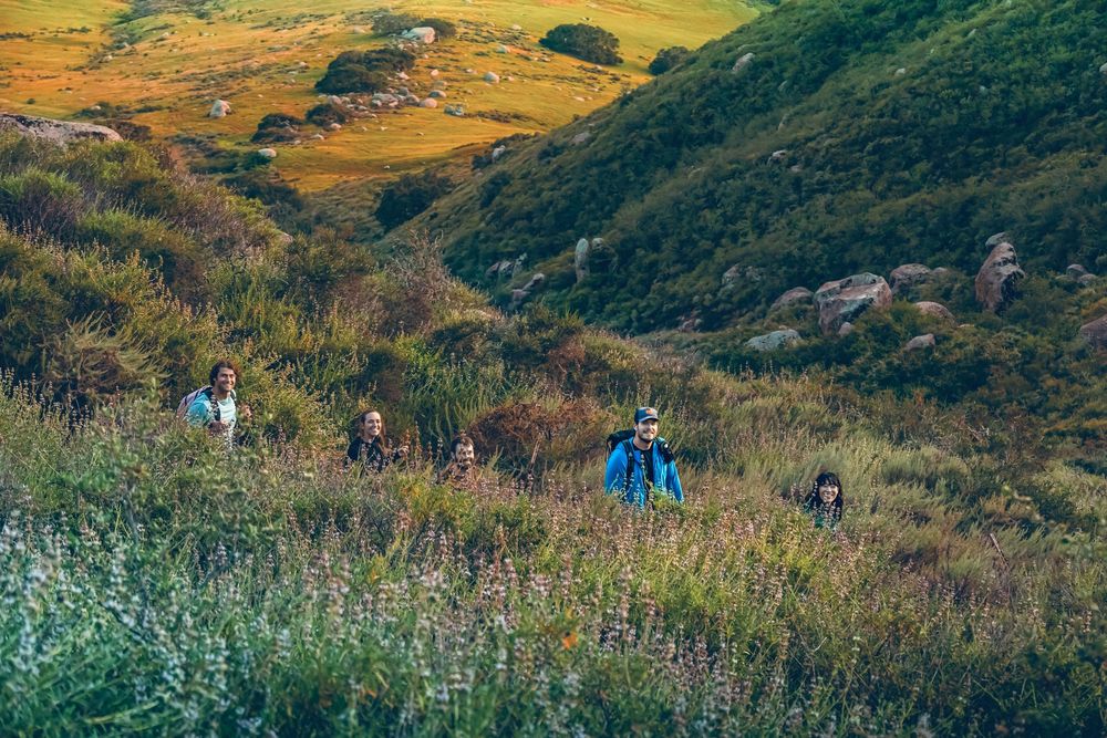
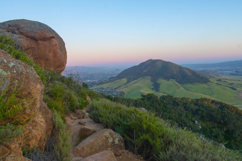
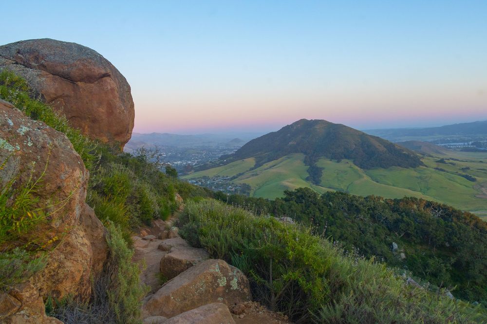
From the beginning of the hike, boulders and Valley Oaks signaled that I was on a hike, not just a walk. And as I got into it, the terrain, elevation gains, switchbacks, and increasingly expansive views were exactly what I’d hoped for. The principal view, for most of the ascent, is the next morro to the southeast: Cerro San Luis, aka Madonna Mountain. And she’s very beautiful. I immediately knew I’d need to hike that one too.
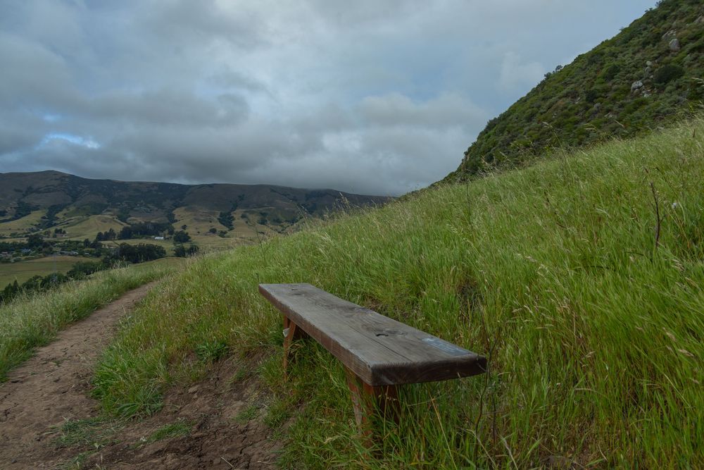
My legs put in some good work. But I didn’t need hands to ascend until I reached the summit. Just before the scrambling section, there’s a bench with a satisfying engraving that reads “End of the Trail.” So if you aren’t up for the scramble, don’t worry. You’ve already arrived.
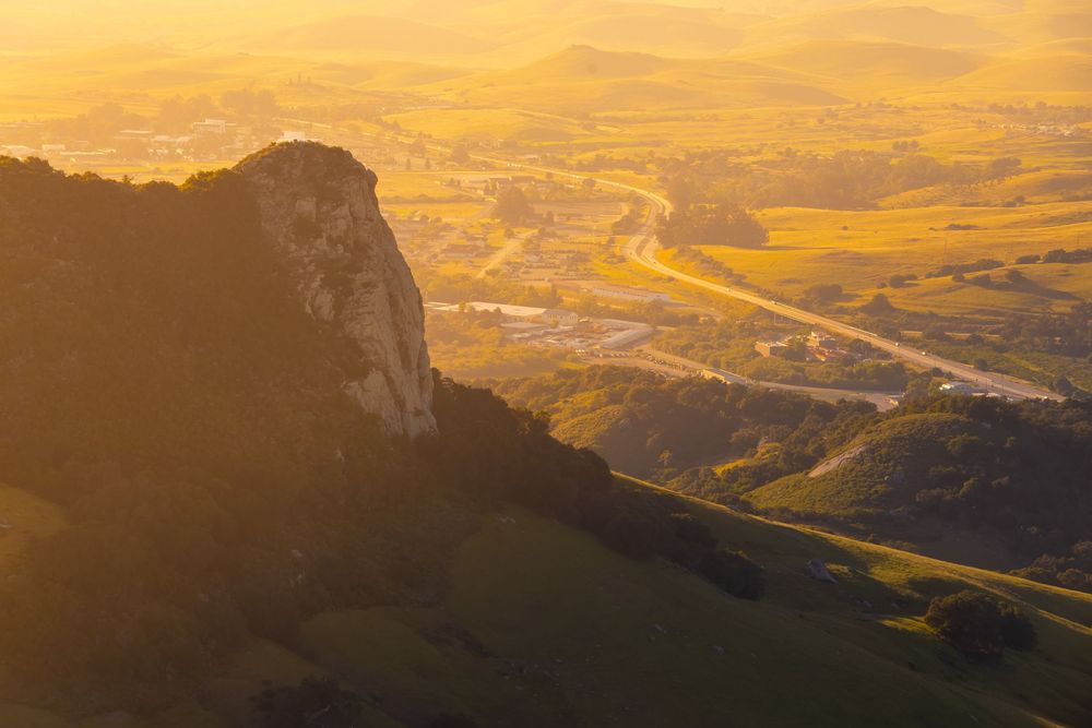
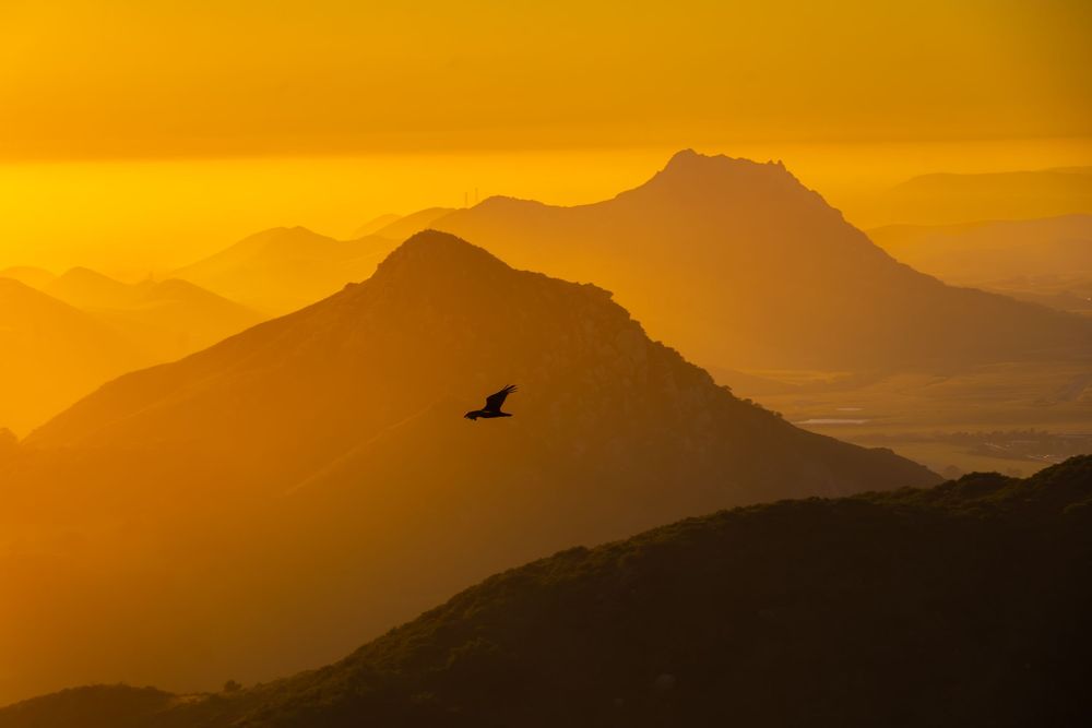
I timed the hike so that I’d hit the summit at golden hour. The boulders were cast an incredible orange glow. Layers of fog over the rolling hills, morros, and farmland bent the light creating ethereal colors. Turkey vultures soared around me, riding the thermals and air currents. What a place to be a bird!
A crew of hikers at the top were taking a selfie. I offered to help, and friendly conversation ensued. Two of these folks had lived in the same town as me (St. Augustine, Florida), thousands of miles away. We shared stories, captured photos, took in the sunset vibes, swapped contact info, and then parted ways.
Bishop Peak is a magical summit to take in at sunset. It’s no surprise that in my SEO-research for this article, I found “Bishop Peak sunset hike San Luis Obispo” to be one of the most searched phrases related to the morros.
What makes Bishop Peak so visually compelling? The multiple spires at the peak. Most hikers only make it to the southeast summit and take in the view of Cerro San Luis. But if you're up for the more involved scramble to the northwest, you get a completely different vista—featuring the three morros you are going to want to see the most by the time you're done reading this article: Chumash Peak, Cerro Romualdo, and Hollister Peak.
On my Bishop Peak descent, another hiker asked if this was a top-five hike for me. I’ve hiked some extraordinary places, and this hike doesn’t make my top-five list. But the collective Nine Sisters journey does. Every morro was a distinct and wonderful experience—I’d repeat all of them.
MORRO
Cerro San Luis - The Spirit Sister
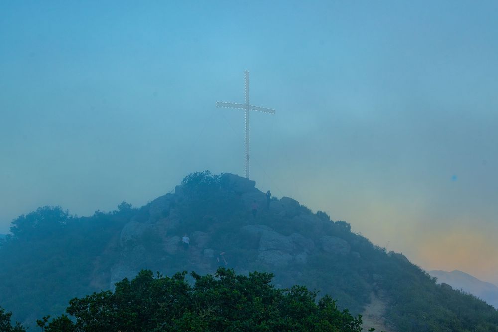
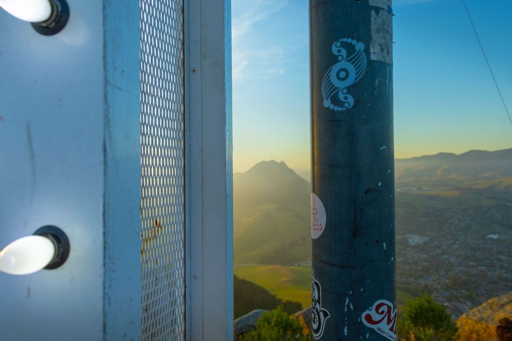
Cerro San Luis is also known as Madonna Mountain for the large illuminated cross installed near its summit in 1942 by hotelier Alex Madonna. The large M on the side of the morro is for Mission Prep High School, not Madonna Mountain. Cerro San Luis sits just west of downtown SLO and offers a steep climb with little shade. The summit delivers views of downtown SLO, the Pacific, and the full chain of Sisters.
CERRO SAN LUIS - HIKER'S GUIDE
Peak Height: 1,292 ft
Park and Fee: Cerro San Luis Natural Reserve / Free
Hike Length: 3.9 miles RT (Marsh Street trailhead)
Elevation Gain: ~1,056 ft
Difficulty: Moderate to Strenuous
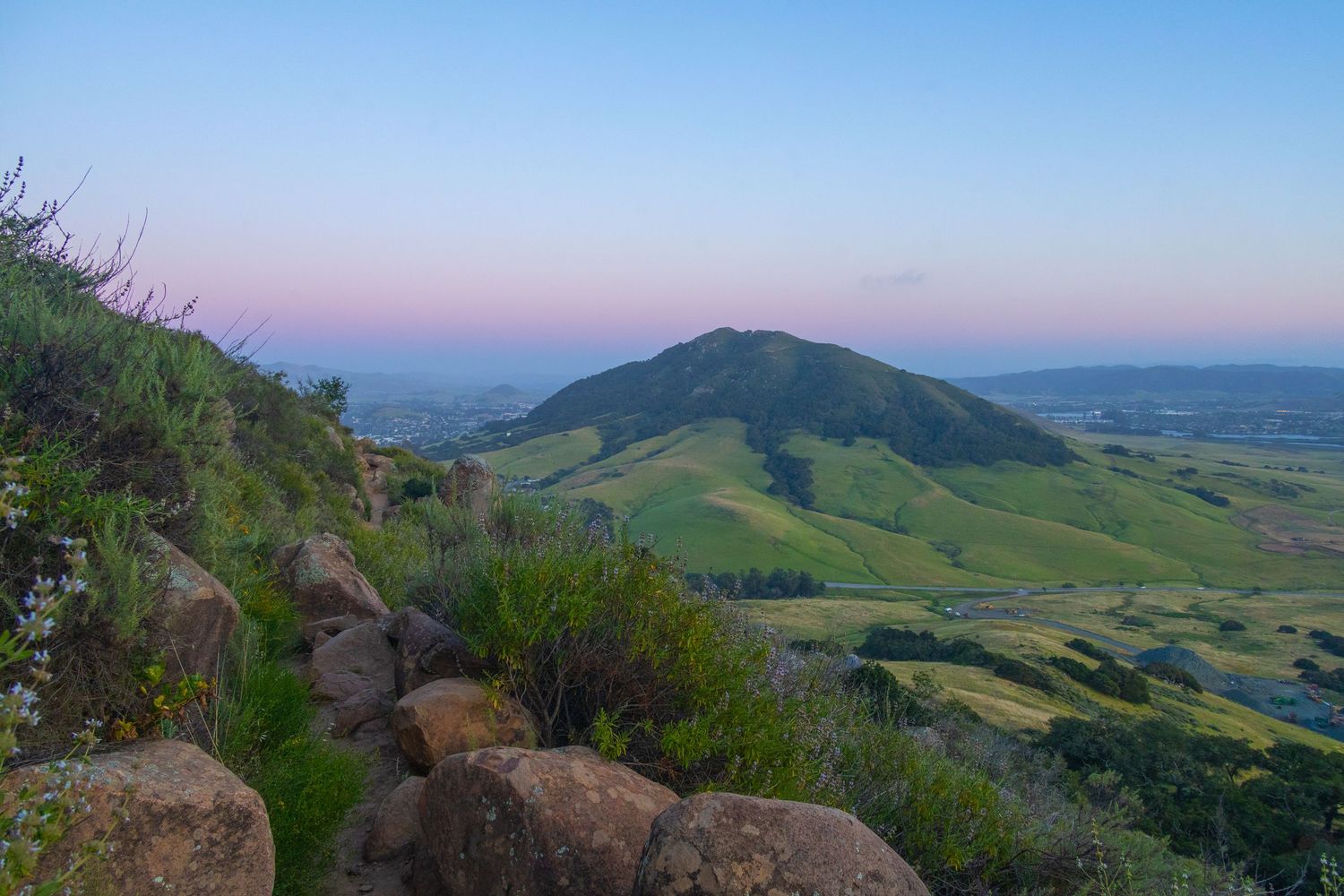
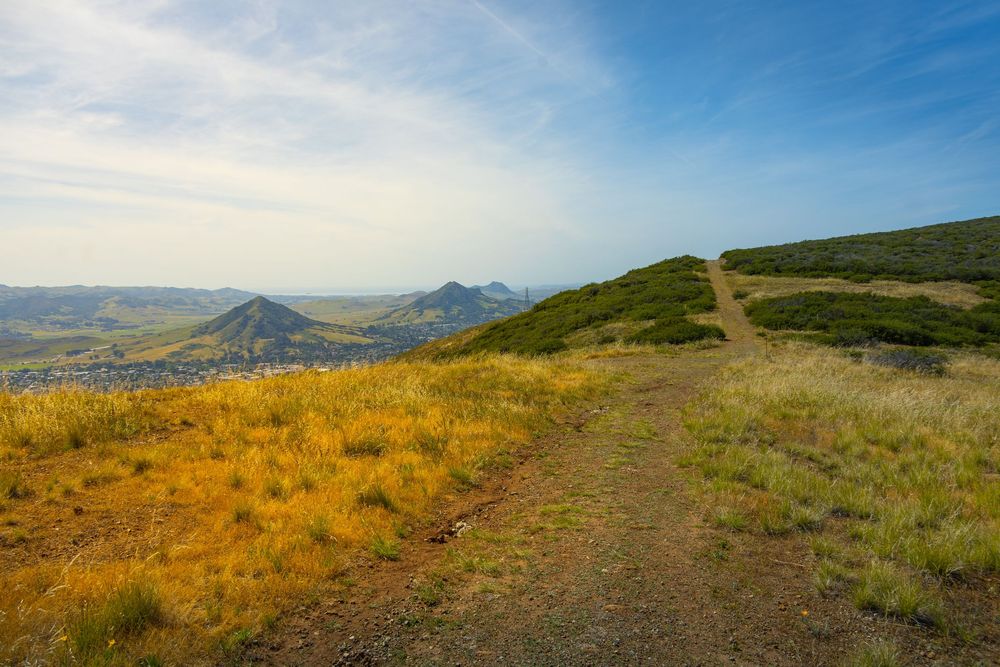
The trail starts with a quick ascent on a dirt trail with knee-high grass on either side of you. This is a good time to mention one warning. Ticks and poison oak are common in this region. Be appropriately cautious. Again, as I got into it, the terrain, elevation gain, and views revved up. There’s a perimeter trail (which just feels like a big dirt road in some sections), and a more direct upward route. The direct route was more interesting terrain. If you want to make this a shorter hike, you could just do that as an out-and-back.
The summit here is more approachable for beginners (compared to Bishop Peak). No hands required. As I stepped up to Madonna Mountain’s signature glowing cross, a massive fog storm rolled in. For a moment, I couldn’t see much of anything. I put on my coat, because as soon as the sun is obscured in this region, the temperature drops dramatically. Then the sun cracked through, exploding onto the edges of my principal view. And here’s why I might give the Cerro San Luis hike my top recommendation. Because, from here, that view is Bishop Peak, with its wonderful triple-pronged summit.
MORRO
Islay Hill - The Hidden Sister
The name Islay is of Scots Gaelic origin. It’s pronounced “eye-luh,” like Isla Fisher.
The smallest and most southeastern of the Sisters, Islay Hill sits at the edge of Edna Valley wine country, Her rounded dome rises above a patchwork of vineyards. She's shorter than neighboring hills and ranges, which makes her the most challenging sister to identify in a crowd or capture in a distant photo. The hike is short and approachable, and there’s a fun surprise at the top. From the summit, you get a wide view of the valley behind you and the rest of the sisters stretching northwest toward the coast.
ISLAY HILL - HIKER'S GUIDE
Peak Height: 775 ft
Park and Fee: Islay Hill Open Space — Free
Hike Length: ~1.8 miles RT
Elevation Gain: ~518 ft
Difficulty: Moderate
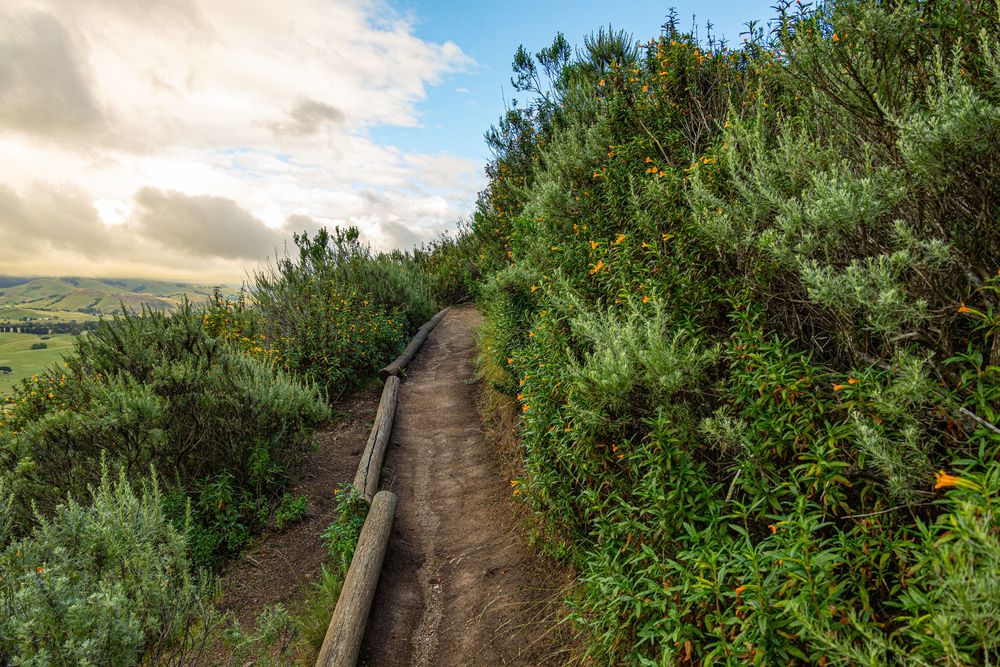
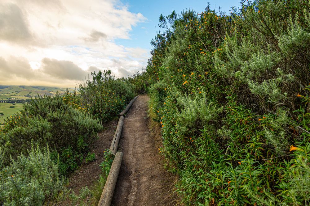
The hiking trail was well-maintained and charming with flowering shrubs lighting the way. As I made the last turn to arrive at the summit, I was recording a video and focused on my screen. I saw a huge animal in my peripheral vision and jolted back. And I laughed out loud. There’s a giant cow sculpture at the top of this hike.
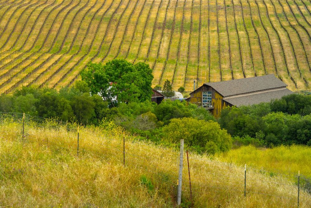
This summit offers an embarrassment of riches. The Santa Lucia Mountains, The Edna Valley vineyards and farmlands (that I’d later tour from the roads below), the SLO airport, the charming craftsman homes in the surrounding neighborhoods, downtown SLO, and the other sisters. She looks tiny from a distance, but this is a worthy summit. Hike it.
I'd hoped to see the entire chain from here. But alas, at 775 feet of elevation, I could not see all the way to Morro Rock.
What I did see from the top of Islay Hill were other small peaks sitting between it and Cerro San Luis. Are those morros? Sort of. They are born of the same kind of volcanic activity, but not part of the same chain. The small hill with the easily visible hiking trail is Righetti Hill. Yes, you can hike that (1.3 miles). The longer stretch of hills beyond that is the South Hills Open Space, and it hosts a two-mile publicly accessible hike.
Islay Hill is a short hike that avid hikers might overlook. But the summit is legit. I would repeat!
THE DRINKING GAME (DON'T TRY THIS)
The Nine Sisters chain runs in a *mostly* straight northwest-to-southeast line across roughly 12 miles, which geologists attribute to the movement of tectonic plates over a hotspot.
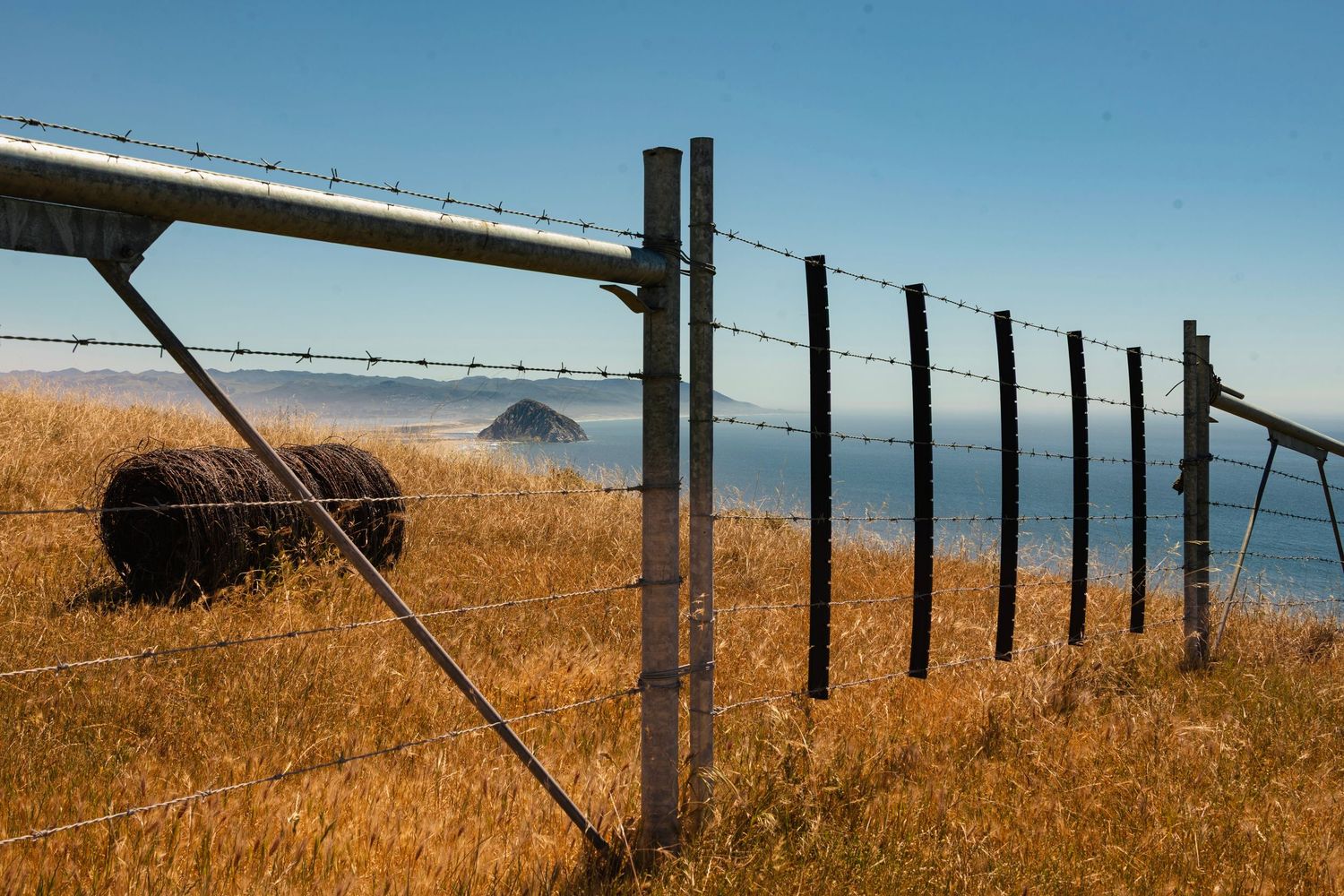
The northwestern exclamation point to the chain is Morro Rock, which is visible and identifiable from so many viewpoints—it’s comical. A not-at-all safe drinking game would be to take a shot every time you see Morro Rock from some new vantage point or context. I have the photos to prove it, and I’ll share those in Part 4!
Getting Hooked
By the time I'd hiked these three morros, I was hooked. I wanted to know everything. Which other morros can we hike? Which are off limits? In part two of this article, we'll explore The Forbidden Morros. I'll try. I'll fail. I'll break your heart—but I'll save you some heartache as well.
Coming Up:
Part 2: The Forbidden Morros
Part 3: The Viewpoints - Hikes, Drive-Up Vistas, and Car Camping
Part 4: The Morro Bay Sisters
This article and all photos herein: © Brian Gundersdorf, 2026. All rights reserved. For licensing or partnership inquiries, contact Brian Gundersdorf.
About The Author:
Brian Gundersdorf is a creative director and brand journalist on a solo cross-country journey documenting America's landscapes, trails, and coastlines by car, boot, camera, and blog. He's looking for the outdoor brand or agency partner that wants to make this journey theirs.
When he isn't hiking volcanic peaks in the rain, Brian serves as creative director at Bruck Marketing. He's spent 25 years producing brand identity, graphic design, photography, digital products, and messaging strategy for brands from Fortune 100 companies to scrappy startups.
PORTFOLIO: www.dreamtup.com/portfolio