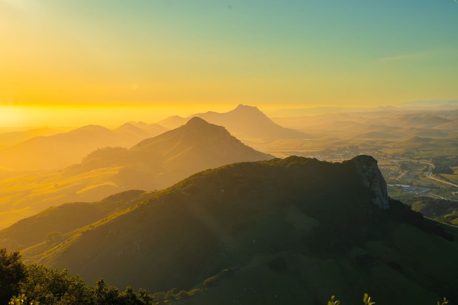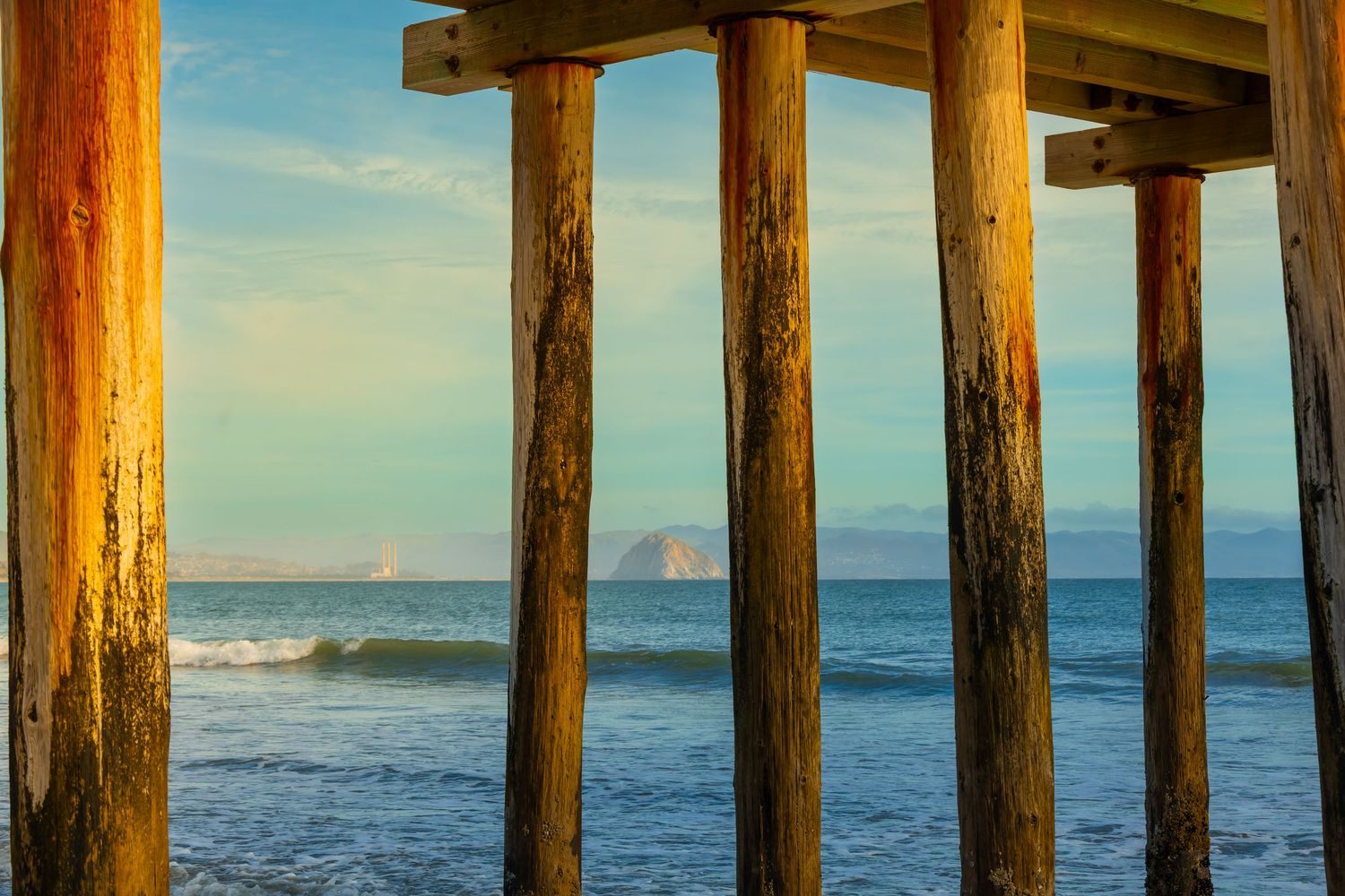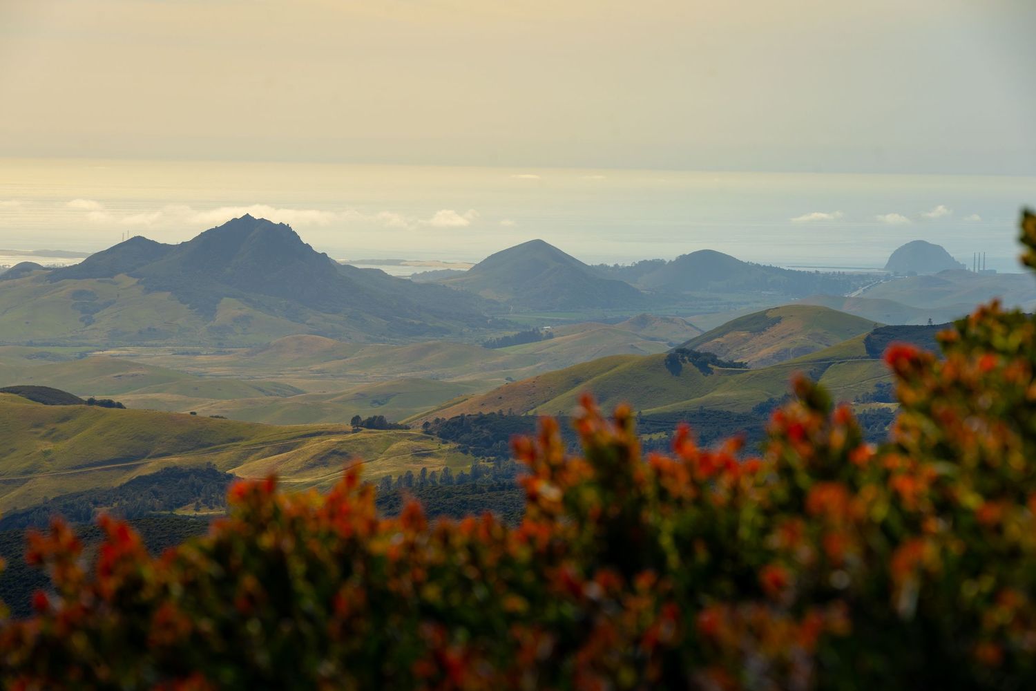
In Part 1 and Part 2 of this article, I explored the first six morros (from the southeast) in the 9 Sisters chain of San Luis Obispo. The morros are surrounded by mountains: The Santa Lucia Range to the northeast and The Irish Hills to the southwest. And the best views of the morros, I learned, are from those places.
PART 3 - GO TO PART 1
The Viewpoints: TV Tower Road, Cerro Alto, Prefumo Canyon Vista Point Trail, and Reservoir Canyon Trail
VIEW POINT | CAR CAMPING | HIKING
TV Tower Road
I had hiked all day and completed the morro summits of the SLO City region. My car is always set up for camping, but I rarely get the opportunity. Camping is popular in this region. Reservable campsites fill up quickly and every scenic pullover and parking lot has a sign indicating that camping is illegal. But I’d heard of a place: TV Tower Road. It's both hikeable and (sort of) driveable. I knew the drive there was sketchy. But I had time before sunset, and I was intrigued.
TV TOWER ROAD - HIKER'S GUIDE
Peak Height: ~2,460 ft
Park and Fee: Los Padres National Forest — Free
Hike Length: 12 miles
Elevation Gain: ~3,211 ft
Difficulty: Moderate
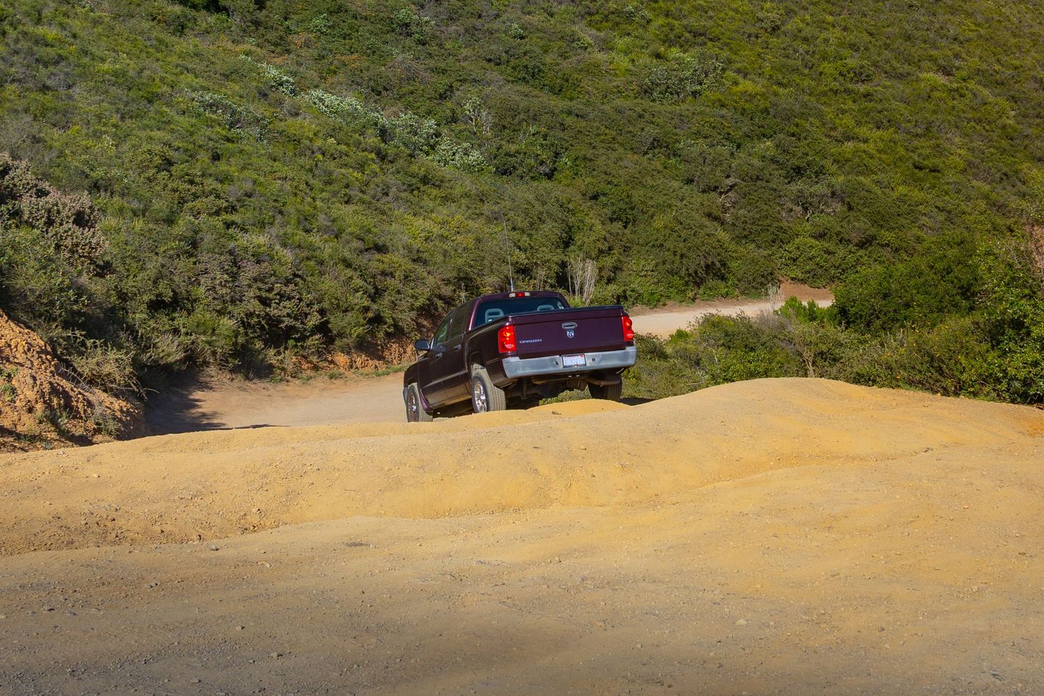
TV Tower Road climbs the spine of Cuesta Ridge into Los Padres National Forest northeast of San Luis Obispo, gaining over 1,600 feet of elevation over roughly 7 miles of dirt and gravel road. It earns its name from the cluster of television and radio broadcast towers crowded at its summit — an industrial surprise at the top of an otherwise wild ridge. The road is used by hikers, mountain bikers, and a small community of people who've figured out you can sleep up there for free with one of the most spectacular views in the county.
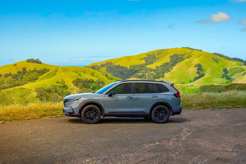
As soon as I hit the dirt road entrance in my Honda CR-V hybrid, I started to worry I’d made a mistake. This spot is a 40-minute drive from Morro Bay, and even farther from my rental in Cambria. But the urge to turn back was real. The ruts were gigantic. There were no signs telling me this was even okay to do. I couldn’t tell what I was getting myself into. Along the way, a few vehicles had tucked themselves in just off the road. But those weren’t viewpoints. If I was going to do this, it was so that I could wake up to an exceptional sunrise with morro views.
I continued on. Just before the first real scenic overlook area, I arrived at a 30-degree hill with ruts so deep my CR-V could not pass without at least scraping the undercarriage. The risk of getting stuck on this hill weighed on me. Would a tow truck even come to this place? I got out and surveyed the situation by foot. I got back in the car and tried it at a couple angles, but I kept dragging my undercarriage and pulling back. I decided it was too much of a risk to my car, and started my u-turn to hightail it out of there. But just as I did, a larger, higher clearance truck pulled right up that hill. Fueled by envy and adrenaline, I toggled my hybrid CR-V from eco to sport mode, hit the gas, and winced as the undercarriage scraped its way up the hill. I made it.
I pulled up to an east-facing overlook (the Morros are to the West), got settled in, and the rain started. Rain and wind taunted me all night, but I did get some sleep eventually. When I woke, the sunrise was absolutely squelched by thick fog. But I could see it starting to clear to the west. So I waited. Or I procrastinated, because I knew I’d have to drive over that same rut-filled hill to leave, but now it would be wet and muddy.
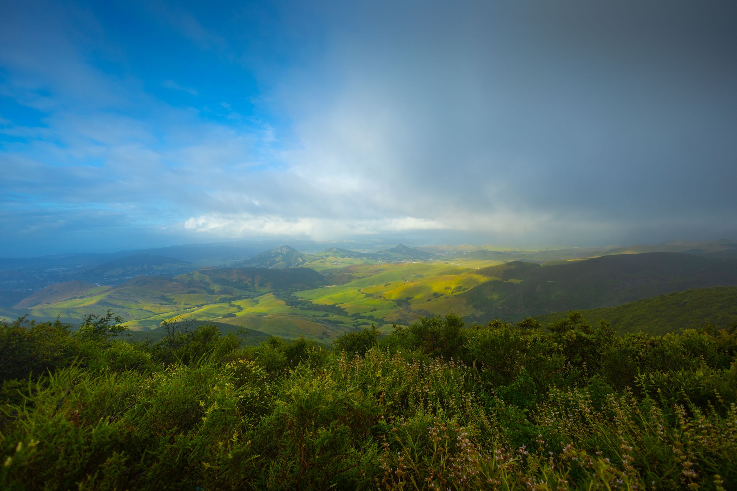
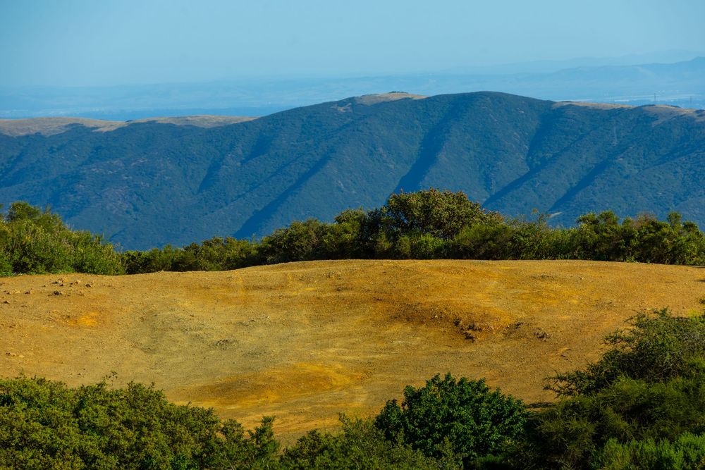
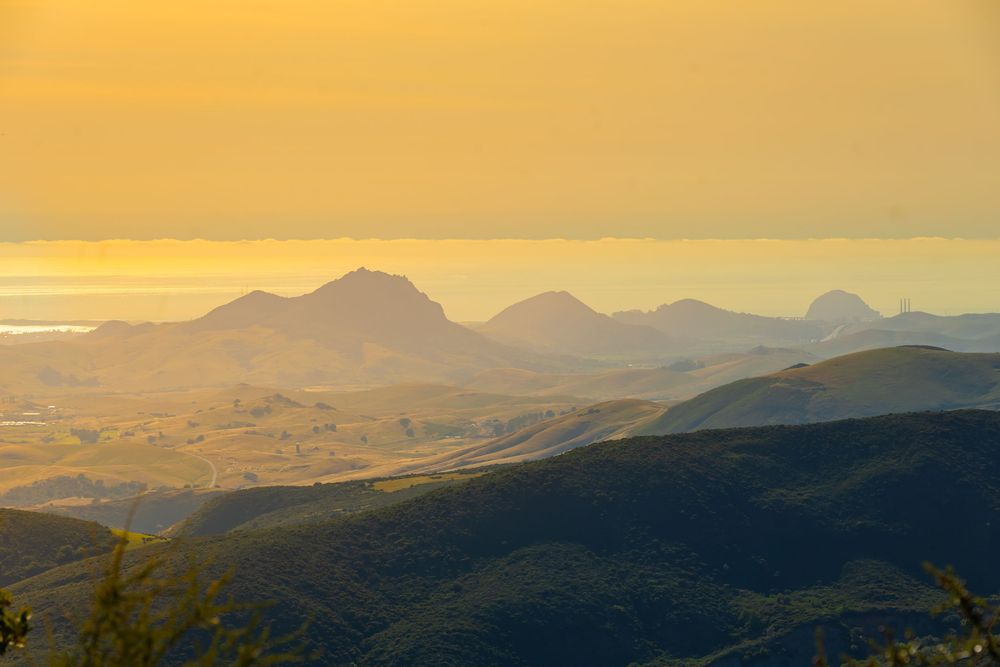
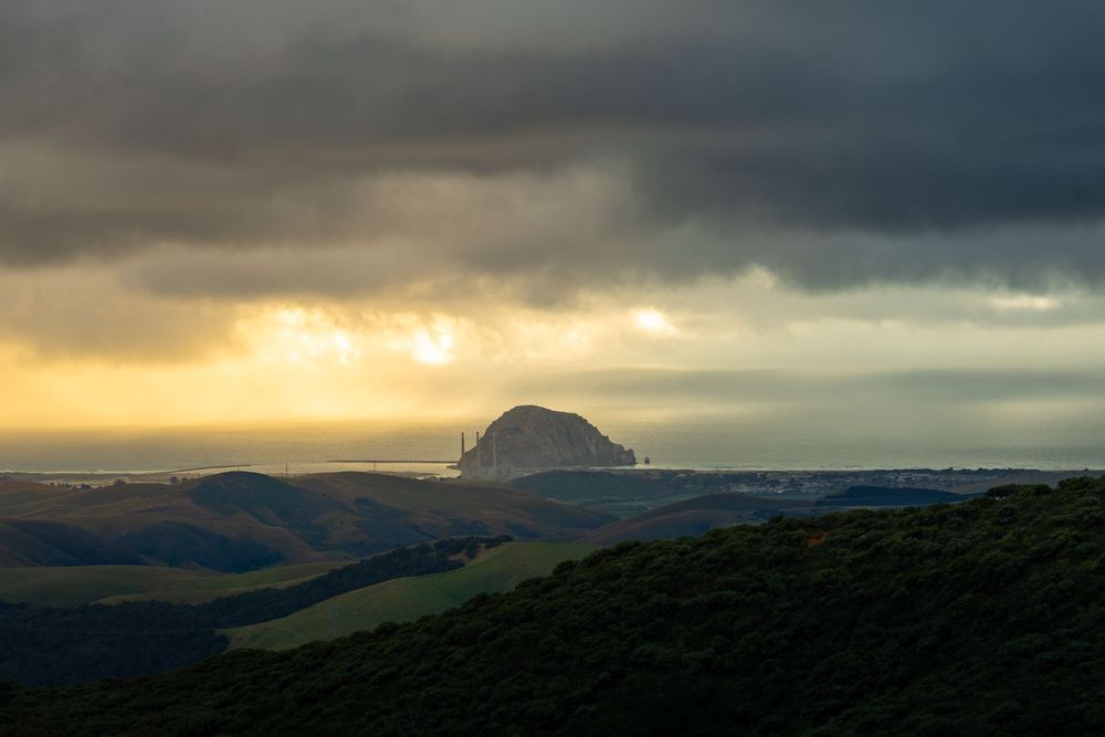
My patience was eventually rewarded with a massive view and a rainbow crashing down right behind Bishop Peak in the distance. And beyond that point, across a divide of about 15.5 miles and 2400 feet of elevation, was Morro Rock (drink!). For a glorious moment, eight of the Nine Sisters were visible. My 24mm lens couldn't contain it all. I ran to the car and switched to my 16mm, but by the time I returned (seconds later), the Morro Bay region was swallowed up in a plume of fog.
Would I ever drive TV Tower Road again to capture the chain on a less foggy, cloudy day? No. I'd definitely put my CR-V at risk pulling up here, and I didn't want to flip that coin twice. I can’t stress enough—don’t take on TV Tower Road without a high-clearance AWD vehicle. Instead, I came back two weeks later and hiked up TV Tower road for 12 miles. That hike has some nice moments. There are side trails through a unique botanical area that are nice. But the bulk of the hike is a big dirt road. I kept at it in hopes of a photo of all nine morros. But, alas, Islay Hill hides her face behind the Santa Lucias the whole way.
If you want to camp, but aren't trying to enter a monster truck competition, there are other options. Cerro Alto sits in Los Padres National Forest. Even if you don’t camp there, I recommend the hike to the Cerro Alto summit. That summit is another spot where I'd heard it's possible to capture all of the Nine Sisters in one photo.
VIEW POINT | CAMP | HIKE
Cerro Alto - The Distant Cousin
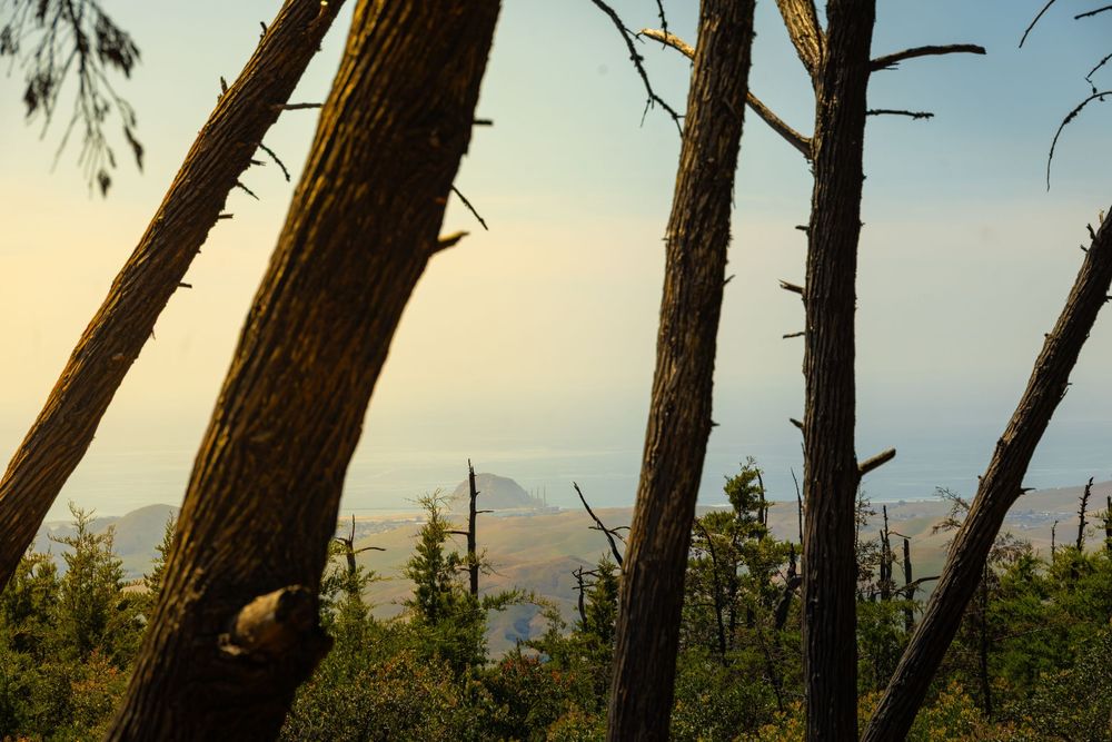
She is not one of the Nine Sisters, but Cerro Alto is close enough in history, geology, and spirit to pass as a cousin. Cerro Alto is a plug dome of the same volcanic origin as the morros — formed during the same episode of volcanism — but it sits further inland near Atascadero, tucked into the Santa Lucia foothills inside Los Padres National Forest. I'd read that Cerro Alto's summit is a viewpoint for all 9 Sisters. So I decided to get up there and check it out.
CERRO ALTO - HIKER'S GUIDE
Peak Height: 2,624 ft
Park and Fee: Los Padres National Forest — $10 day use (cash only)
Hike Length: 5 miles (loop) / 2.75 miles (direct ascent)
Elevation Gain: ~1,600 ft
Difficulty: Strenuous
Camping
Of the 22 total campsites, 15 require reservations through Recreation.gov (or 1-877-444-6777), and 7 are first-come, first-served walk-in sites. Camping is at the base of the hike. I didn’t see any overlooks, but it’s a charming conventional camping area. I did not camp.
Hiking
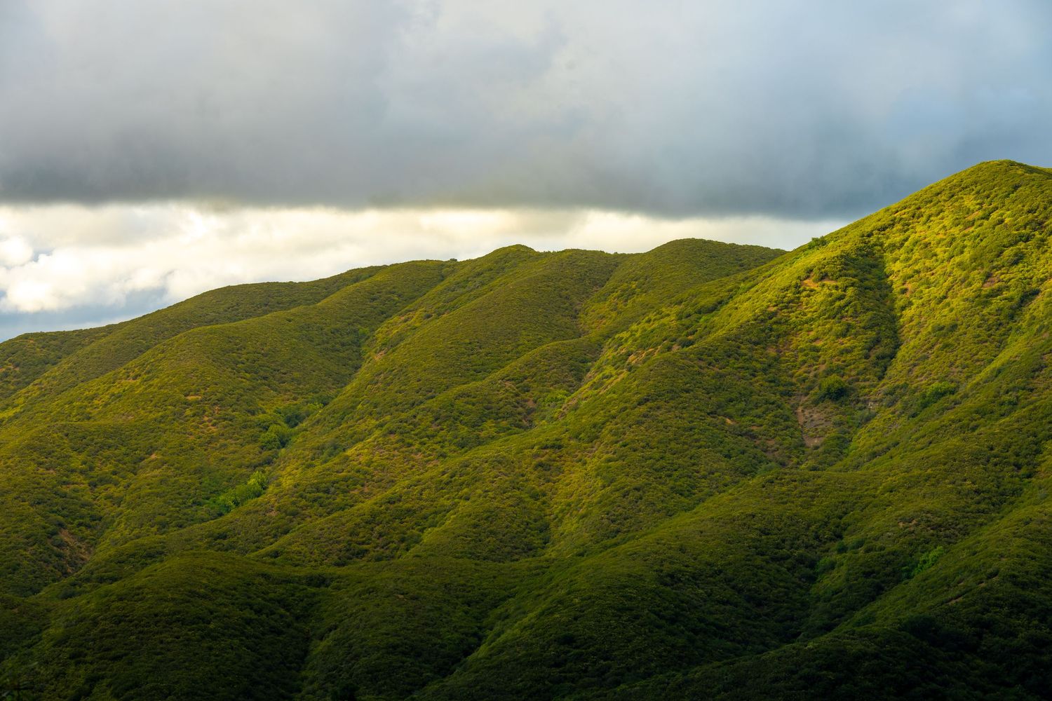
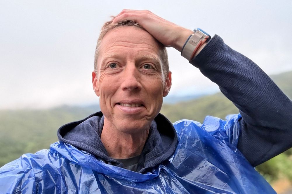
At 2,624 feet, Cerro Alto is nearly 1,100 feet taller than Bishop Peak, the tallest sister, which makes it a significant (but not at all technical) hike to the top. The summit offers one of the only vantage points where all Nine Sisters are visible simultaneously, running northwest toward the coast. And it’s a stab to the gut for me to tell you that because those views were completely fogged out when I reached the summit. Again, the rain machine kicked in unexpectedly, and I made the return hike in my little plastic rain poncho. It’s the farthest drive, one of the longest hikes, and the only hike I paid money to do.
I was 0 for 2 on getting this whole chain in one photo. But as I was descending Cerro Alto in my blue plastic poncho, I heard a group of guys talking about a promising trail called "Prefumo Canyon Vista Point Trail at Irish Hills Open Space." When I asked where that was, they said, "It's by the Costco."

VIEW POINT | HIKE
Prefumo Canyon Vista Point Trail
Not a morro, but one of the best places to see them all. Irish Hills Natural Reserve sits southwest of downtown SLO, a 720-acre open space of serpentine rock, oak woodland, chaparral, and grassland. I was excited because I'd heard and read that The Prefumo Canyon Vista Point Trail would give me a vantage point to see all Nine Sisters.
PREFUMO CANYON VISTA POINT TRAIL - HIKER'S GUIDE
Peak Height: N/A (viewpoint, not a summit)
Park and Fee: Irish Hills Natural Reserve — Free
Hike Length: 3.6 miles (loop)
Elevation Gain: ~839 ft
Difficulty: Moderate
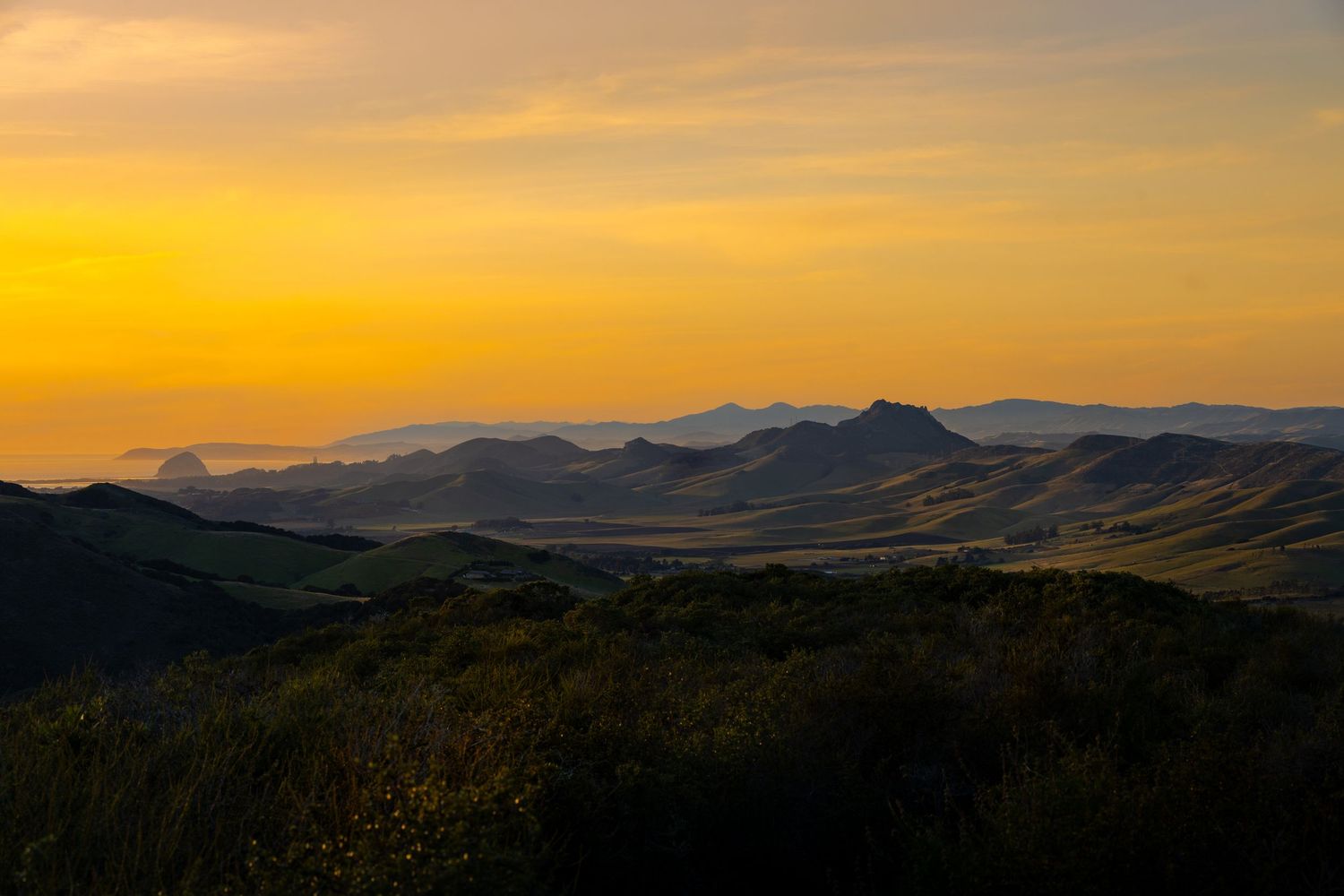
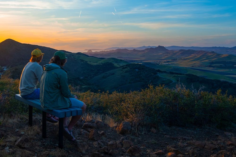
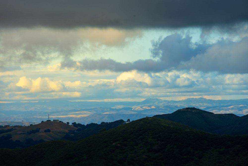
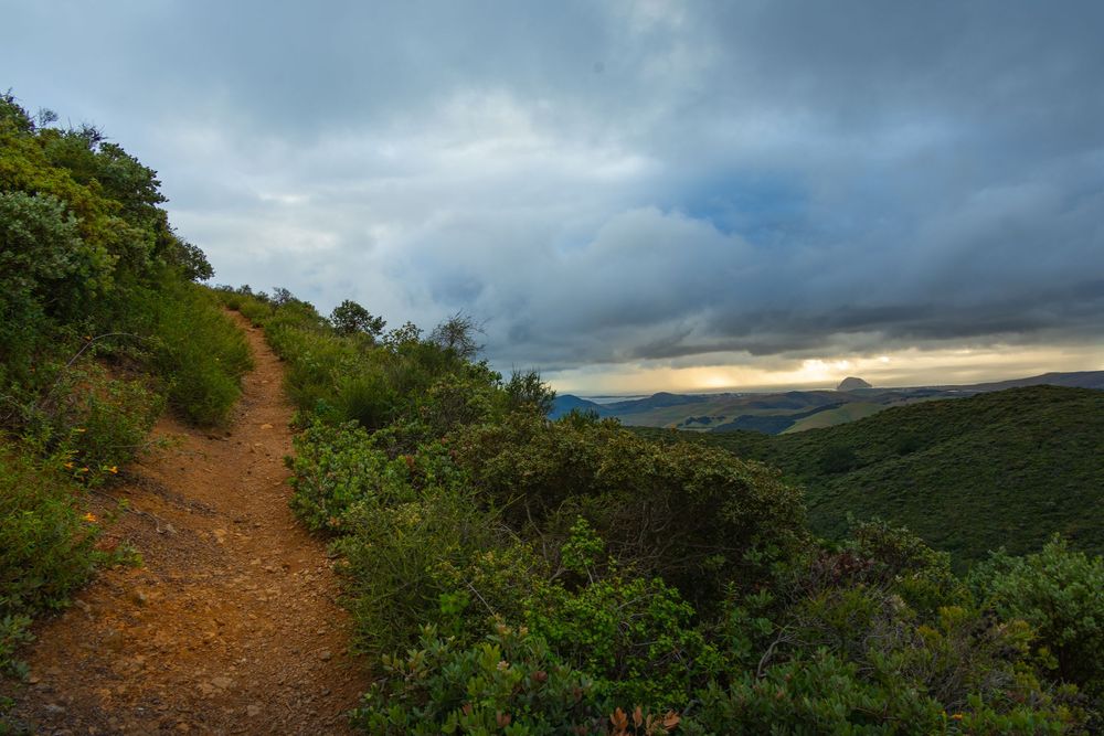
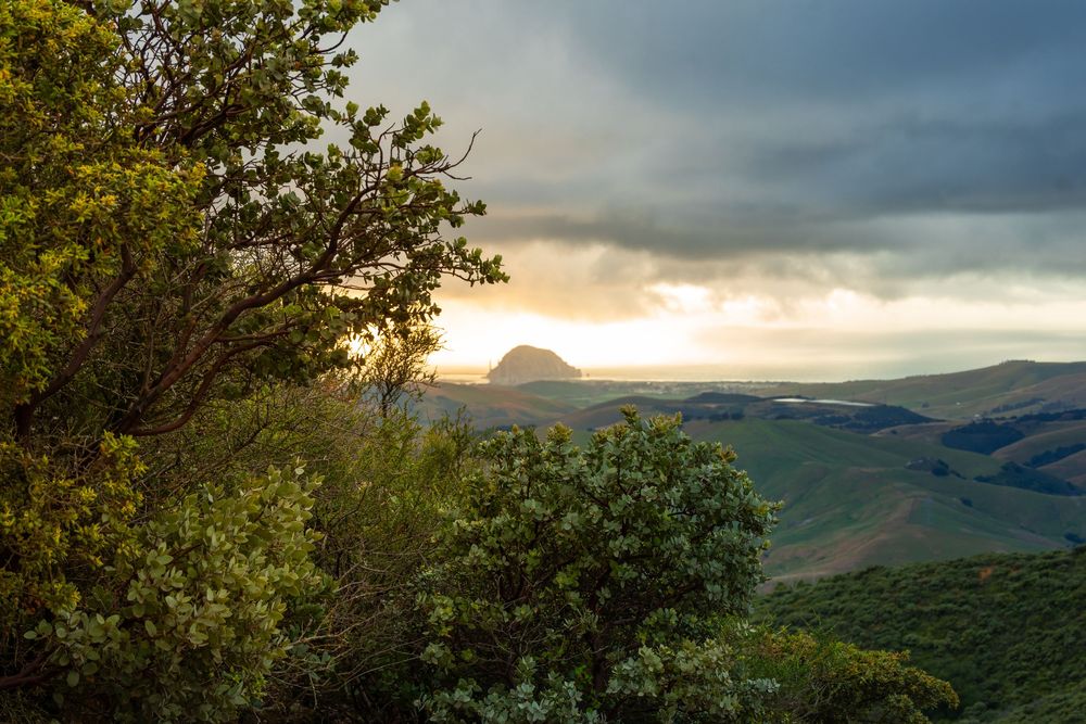
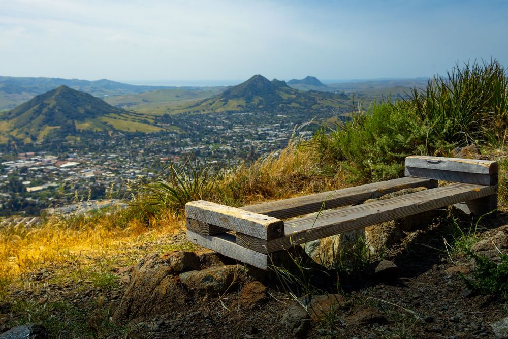
The first half of this hike is a simple, pleasant hike up a dirt trail that at times is wide like a road and other times skinny like singletrack. The views became interesting about halfway up when I caught my first glimpse of (drink!) Morro Rock. I'd seen this rock so many times now, but from this southeast vantage point, there was some extra magic. The climax of the trail announces its arrival with a bench set just right for viewing *most* of the sisters.
I walked around, and from one spot I could see all the northwest morros. From another spot, I could see all the southeast morros. And then, BINGO! I found a spot where, perched on one foot (with brush all around me), I could see all Nine Sisters.
One last problem: Morro Rock was to my far left. Islay Hill was to my far right. Even my widest-angle lens wasn't wide enough for that. But this is what the panorama mode on an iPhone is made for. The shot wouldn't be as crisp or rich as my Canon EOS R8 can capture, but I clicked the button on my phone. Mission accomplished? Not to my quality standards. But wow, did I ever take in a sunset from this spot.
This hike made me want to find a hike further southeast where I'd see the morros stacked in the distance, rather than spread in each direction. And a couple days later, I found that: Reservoir Canyon Loop.
VIEW POINT | HIKE
Reservoir Canyon
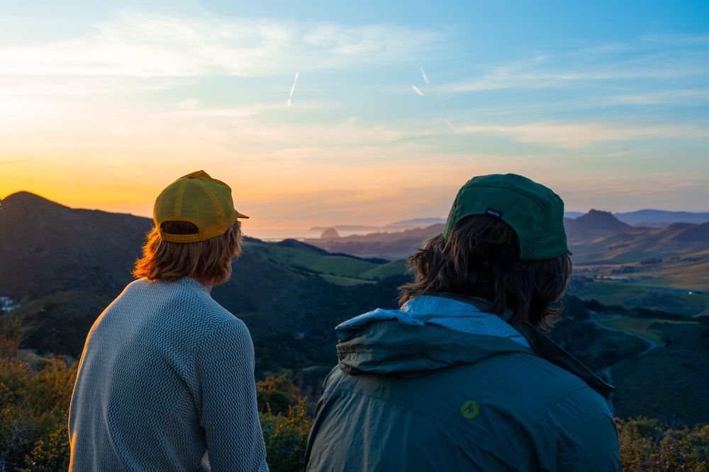
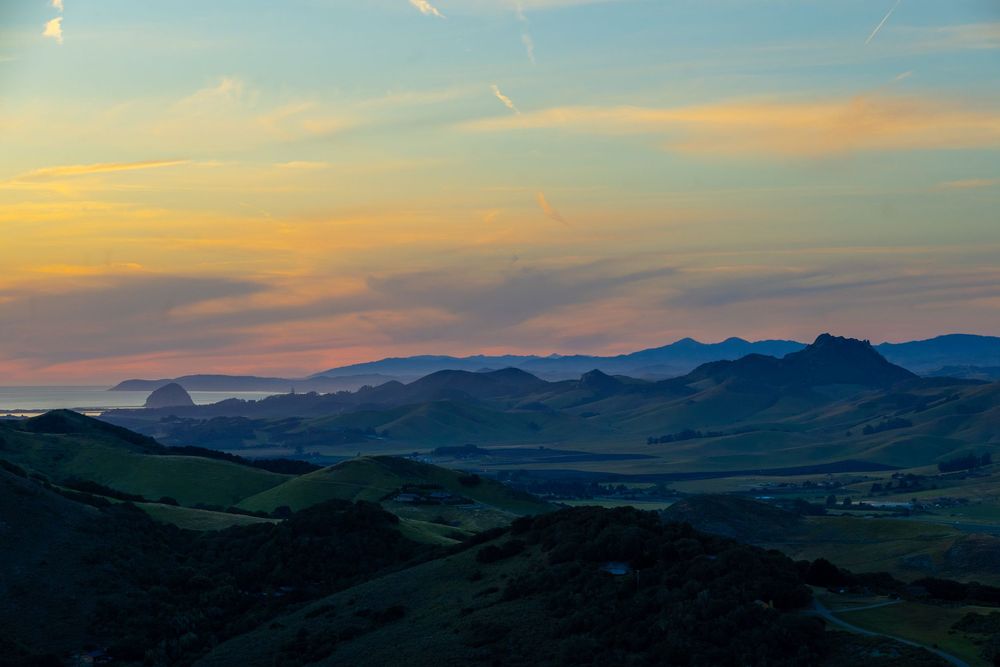
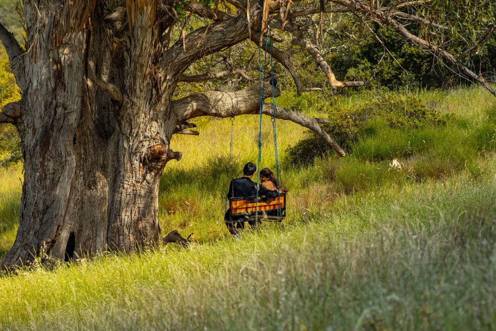
This trail begins with a modest waterfall detour, and it passes a collection of scrap metal sculptures and a eucalyptus tree with a rope swing. It climbs aggressively in the final mile — over 800 of the total 1,350 feet of gain comes right at the end. The payoff is a 360-degree summit panorama: SLO city below, the Nine Sisters to the southwest, the coast at Morro Bay and Avila Beach, and Cuesta Grade and the Santa Lucia Range to the north.
RESERVOIR CANYON TRAIL - HIKER'S GUIDE
Peak Height: N/A (viewpoint, not a summit)
Park and Fee: Reservoir Canyon Natural Reserve — Free
Hike Length: 5.5 miles (loop) / 5.35 miles (out-and-back)
Elevation Gain: ~1,350 ft
Difficulty: Hard
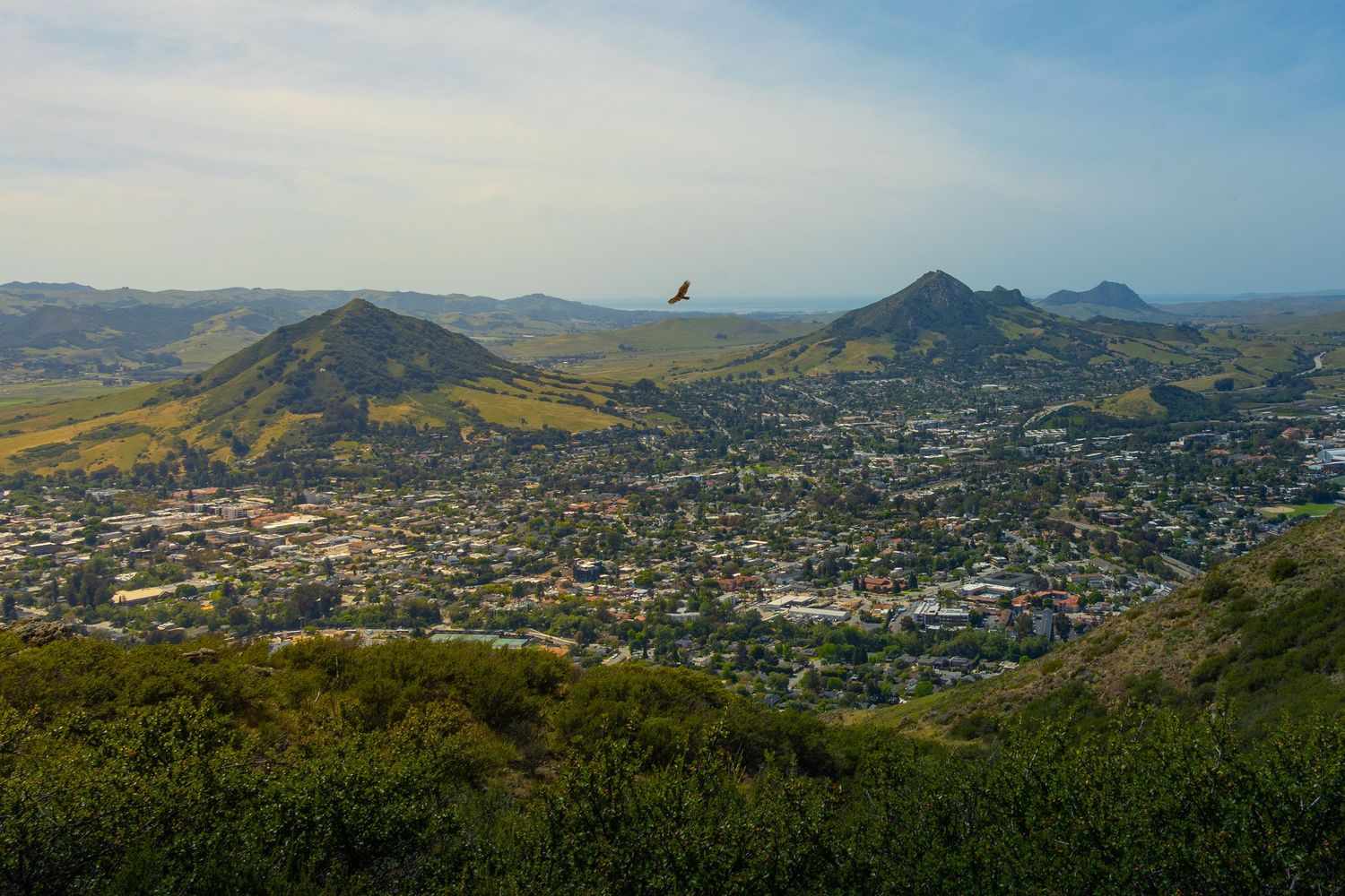
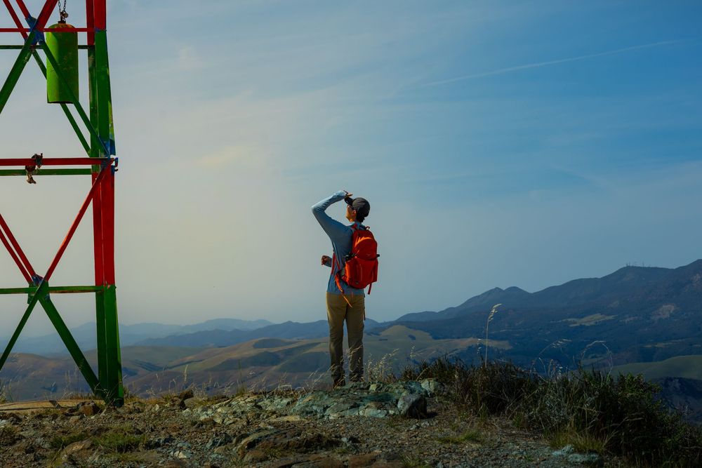
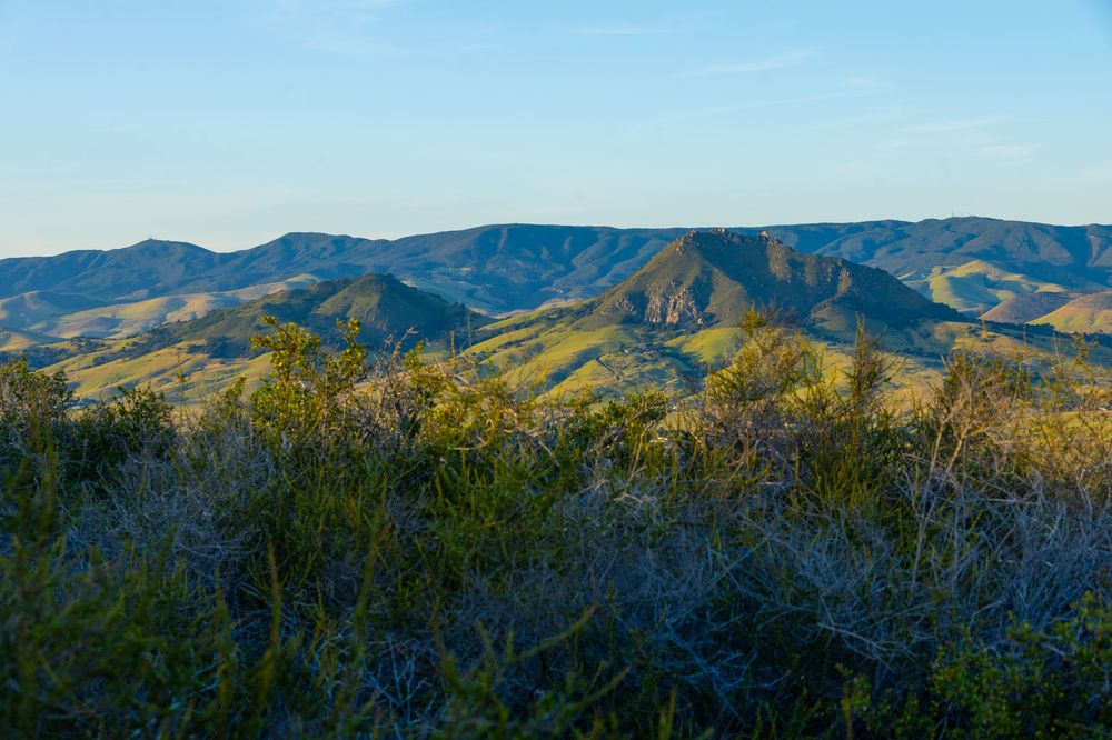
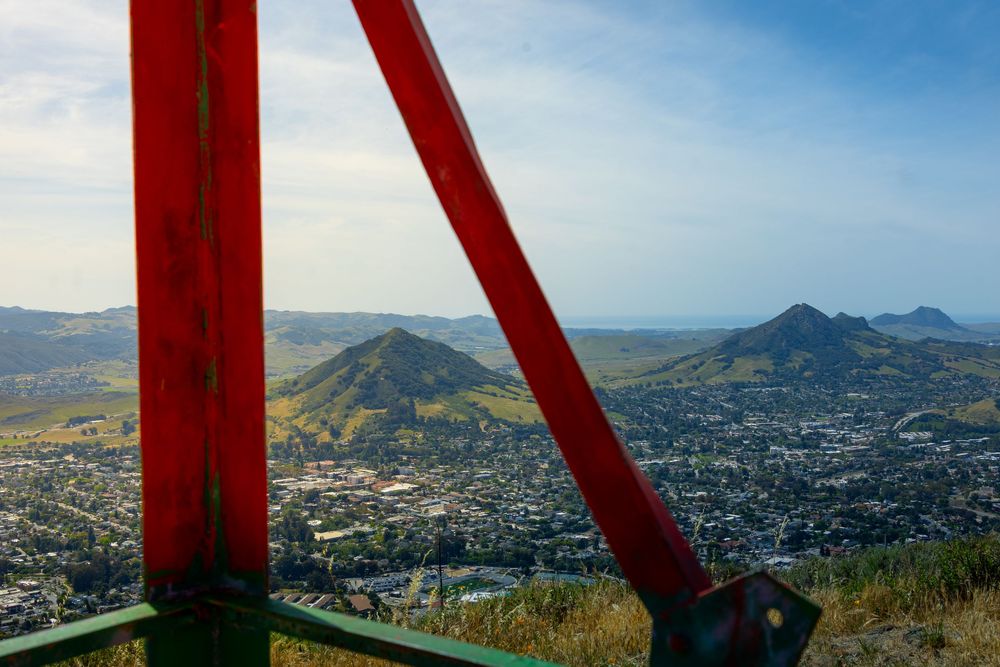
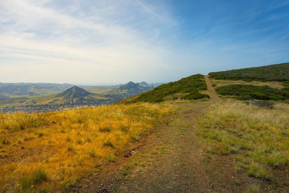
I came to Reservoir Canyon hoping to capture all Nine Sisters in one shot, and this vantage point had the most interesting obstacle: the sisters themselves. Here, Islay Hill was plainly visible just off to the east (but still in front of me), but The Forbidden Sisters blocked my view of the Morro Bay stretch of the chain.
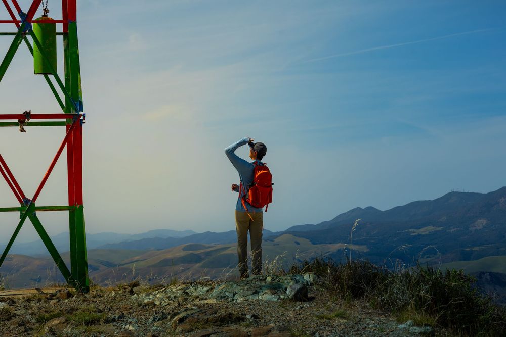
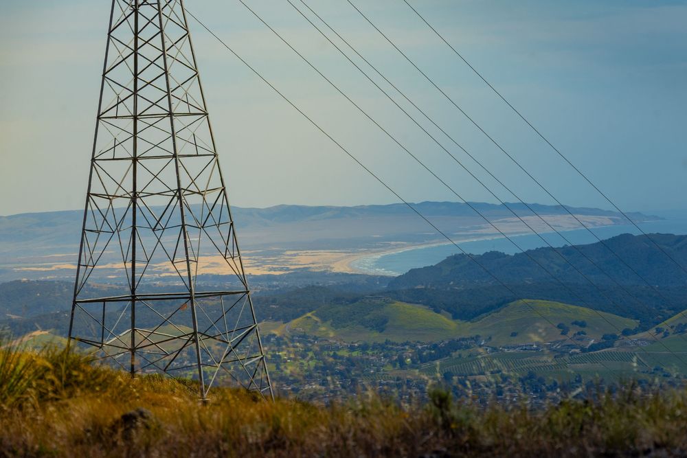
Reservoir Canyon has some fun metal sculptures and a swing that made for great photography fodder. Landscape photos usually benefit from a pop of red, and a red metal tower was waiting for me at the primary vista.
VIEW POINT | DRIVE-UP
Green Valley Viewing Point - Highway 46
I’m on a solo journey across the United States. Cambria, CA is my current base camp for a month. These Morros were not part of my plan, and I certainly didn’t intend to become obsessed with them. After the Prefumo Canyon hike, I thought I was done. I got lunch in Morro Bay (great food town) and checked out Morro Rock up close. I drove past Hollister Peak, disappointed myself looking it up on AllTrails again. And then I headed back to Cambria.
GREEN VALLEY VIEWING POINT
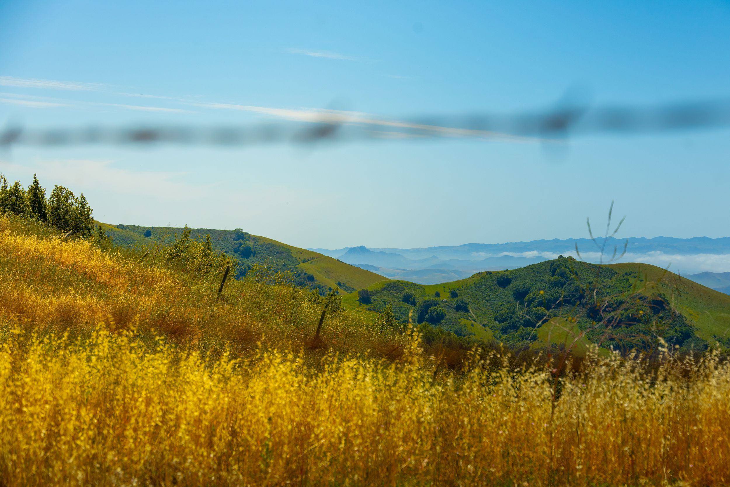
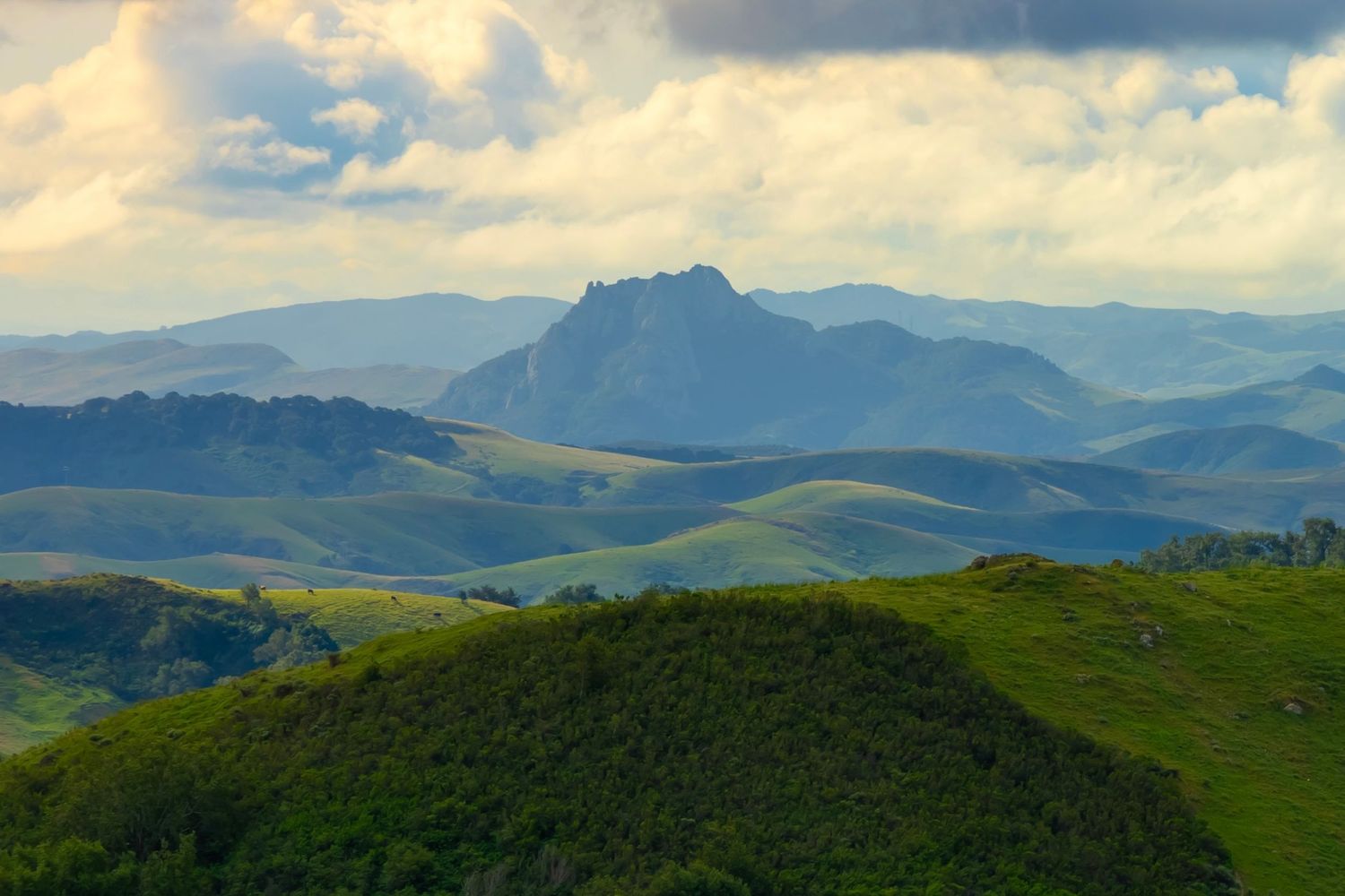
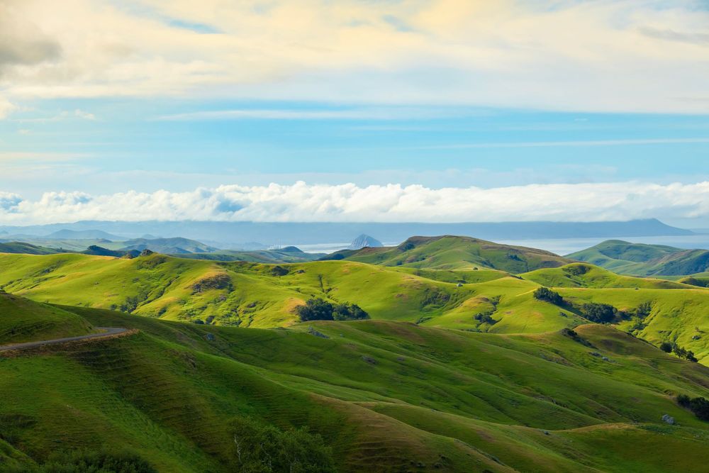
The next day, I drove to Paso Robles for a wine cave tour. 12 minutes into the drive, I realized something special was happening. The rolling hills and farmland reminded me of Ireland with massive rolling green hills and wide open views. And then, as a complete surprise to me, I arrived at one of the best side-of-the-road viewpoints I’ve ever seen: Green Valley Viewing Point.
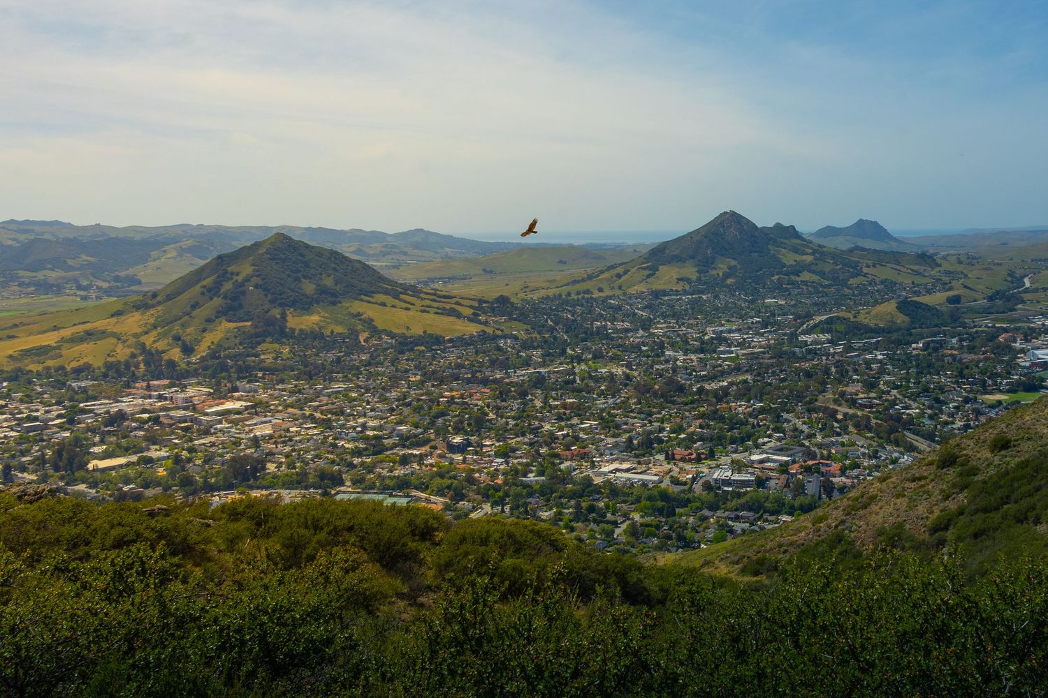
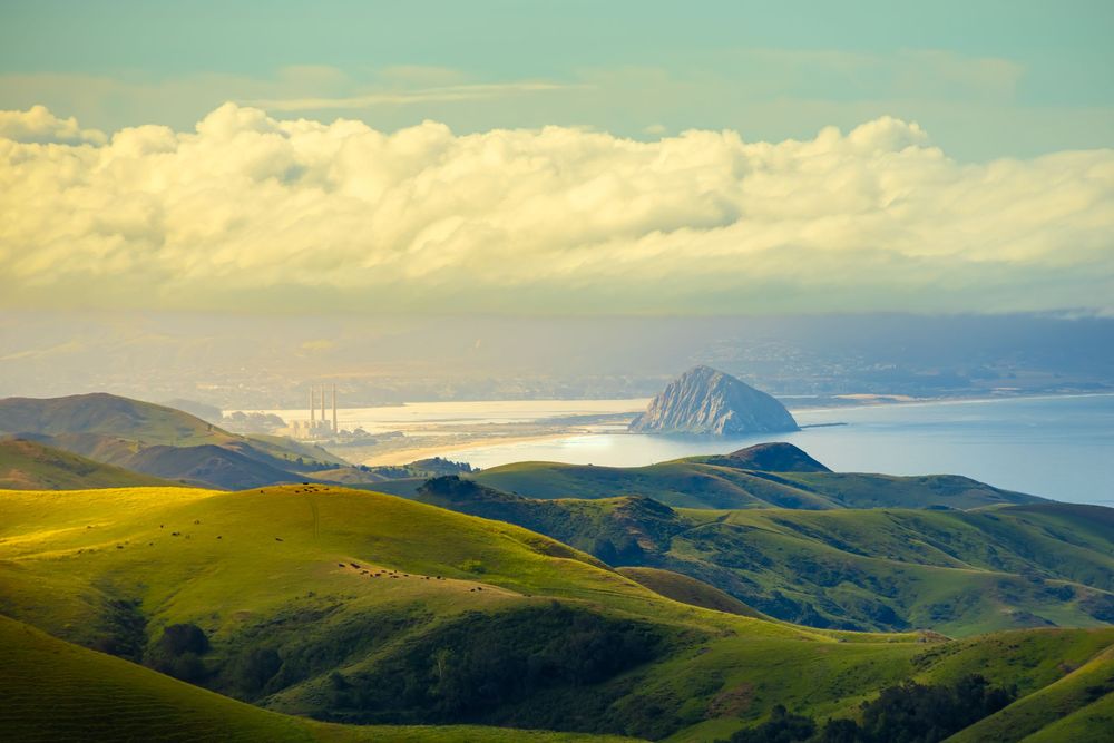
This easy pull-over spot provides a panoramic 180-degree view of the coastline—spanning from Point Piedras Blancas to the north all the way south to Morro Rock and the start of Montana de Oro State Park. It's a delicious ocular meal of rolling hills dropping toward the ocean, coastal haze, the whole thing, all from 1700 feet of elevation.
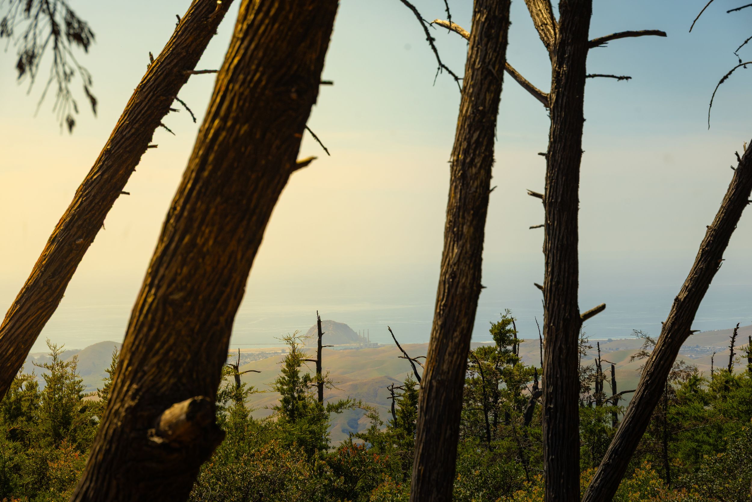
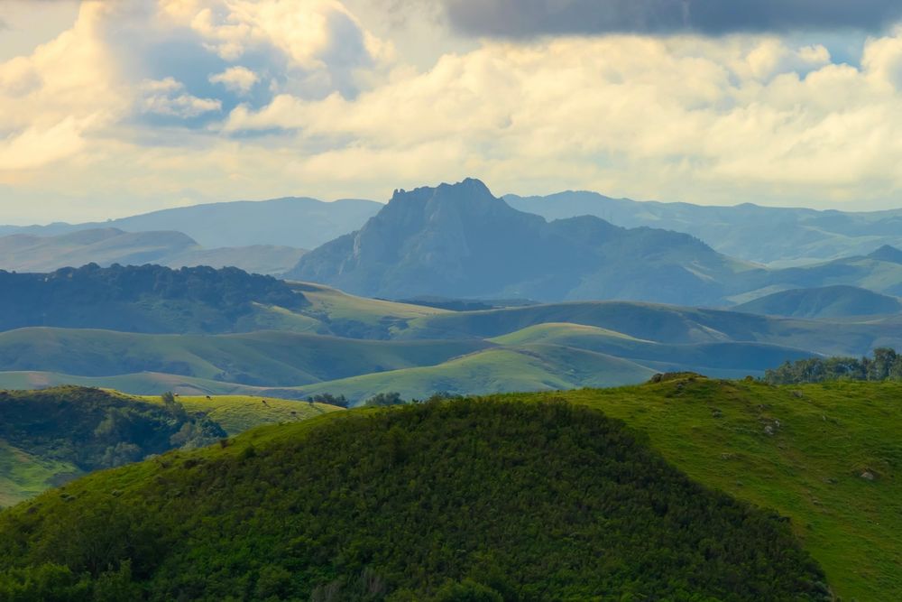
The rolling green hills were immediately vivid and spectacular, but the coast was shrouded in thick fog. I started taking photos, but I didn’t know what I was capturing at first. Then the fog started to drift East and, through my camera viewfinder, I saw it: Morro Rock (drink!). From 15 miles away as the crow flies, over stunning green hills, Morro Rock and the nearby smoke stacks were unmistakable. I pulled the camera down expecting Morro Rock to disappear again, but it didn’t. And to its left—Hollister Peak—looking outrageous in this newfound context.
Next Stop: Morro Bay
San Luis Obispo County is home to all of the Nine Sisters. San Luis Obispo is also the name of the thriving city within the same-named county. Several of the morros have trailheads in the city of San Luis Obispo.
It is quite a city — with a vibrant downtown and college town energy. Dan Buettner, the National Geographic researcher who identified the world's longevity hotspots, also named SLO the happiest city in America. Having spent a week hiking its volcanic peaks, camping on its ridges, exploring its downtown, and meeting some of the locals — I’m convinced.
In Part 4, we'll head northwest to Morro Bay, ultimately arriving at the most famous of the sisters, Morro Rock.
Part 4: The Morro Bay Sisters
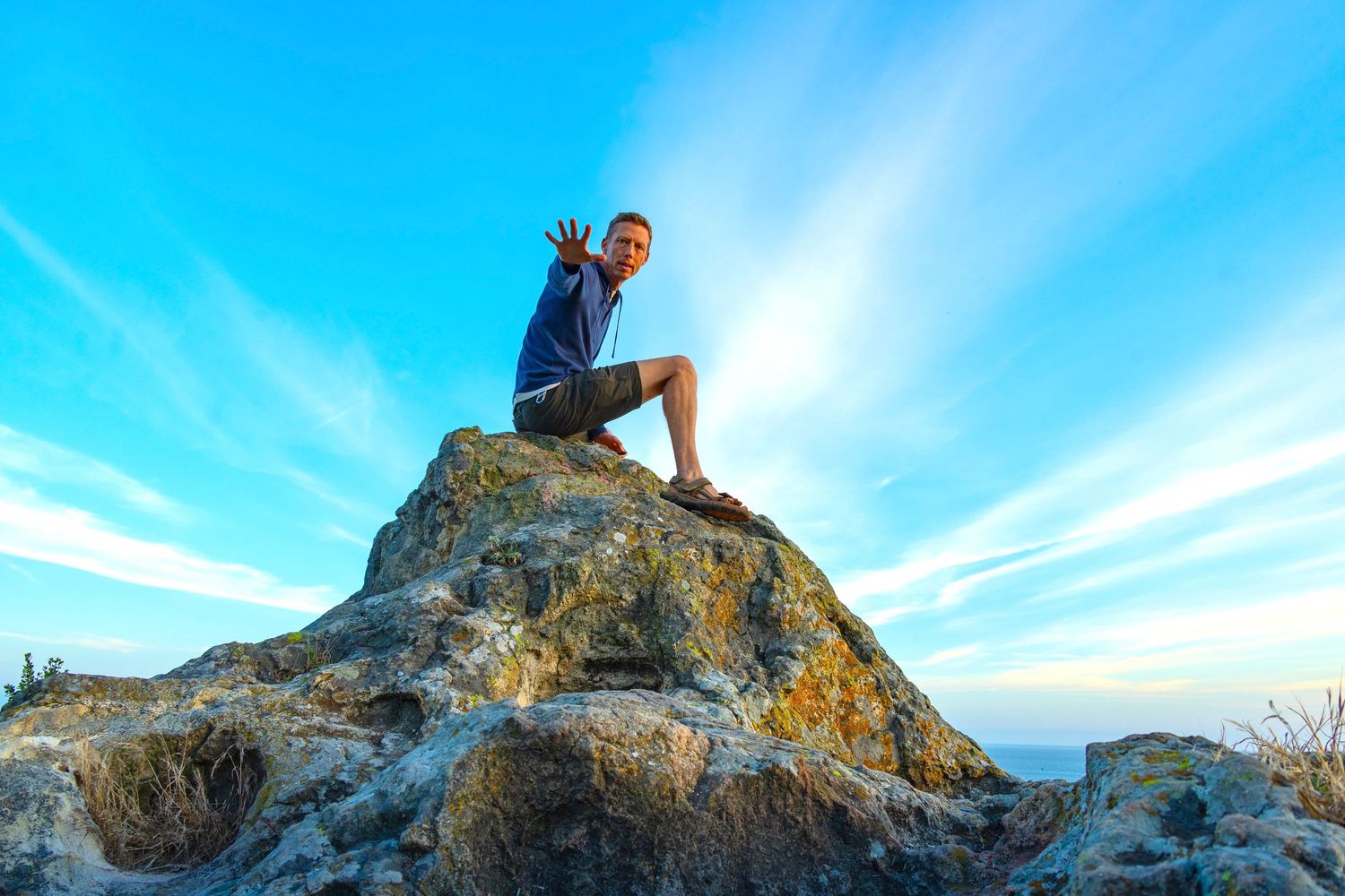
This article and all photos herein: © Brian Gundersdorf, 2026. All rights reserved. For licensing or partnership inquiries, contact Brian Gundersdorf.
About The Author:
Brian Gundersdorf is a creative director and brand journalist on a solo cross-country journey documenting America's landscapes, trails, and coastlines by car, boot, camera, and blog. He's looking for the outdoor brand or agency that wants to make this journey theirs.
When he isn't hiking volcanic peaks in the rain, Brian serves as creative director at Bruck Marketing. He's spent 25 years producing brand identity, graphic design, photography, digital products, and messaging strategy for brands from Fortune 100 companies to scrappy startups.
PORTFOLIO: www.dreamtup.com/portfolio